Questa pagina non è una pagina ufficiale dell'app o del suo sviluppatore, ma una pubblicazione editoriale indipendente creata a scopo informativo e di commento. Salvo espressa indicazione contraria, né l'app né il suo sviluppatore sono affiliati, approvati, sponsorizzati, autorizzati o altrimenti ufficialmente collegati a MWM, Apple, Google Play, all'editore dell'app o allo sviluppatore dell'app, e nulla in questa pagina implica che l'app sia stata sviluppata utilizzando i servizi di MWM. Tutti i marchi, loghi, screenshot e altri contenuti rimangono di proprietà dei rispettivi proprietari.

OpenMaps - Topographic maps
Domina ogni terreno con i dati di precisione di OpenStreetMap, mappatura live e livelli topografici specializzati progettati per escursionisti, mountain biker e appassionati di outdoor che esigono affidabilità fuori rete.
Download
227K+Valutazione
Valutazioni totali
0Editore
Categoria
NavigationLingue
1Ultima versione
6.16Dimensione
16.2 MBData di lancio
22 set 2015Mappatura di precisione per esploratori esperti
Sfrutta la potenza di OpenStreetMap e dei livelli topografici specializzati per navigare nei terreni più impegnativi con sicurezza e accuratezza tecnica.
Integrazione dei dati OSM in tempo reale
Rimani aggiornato con i dati in tempo reale provenienti dalla community che catturano i cambiamenti più recenti dei sentieri e i percorsi nascosti non presenti nelle app GPS standard.
Approfondimenti tecnici sul terreno
Domina ogni salita e discesa con linee topografiche dettagliate e 6 stili di mappa specializzati su misura per alpinisti e mountain biker.
Gli screenshot e la descrizione seguenti provengono direttamente dall'elenco ufficiale dello store dell'app e sono di proprietà dello sviluppatore.
App Store
Screenshot
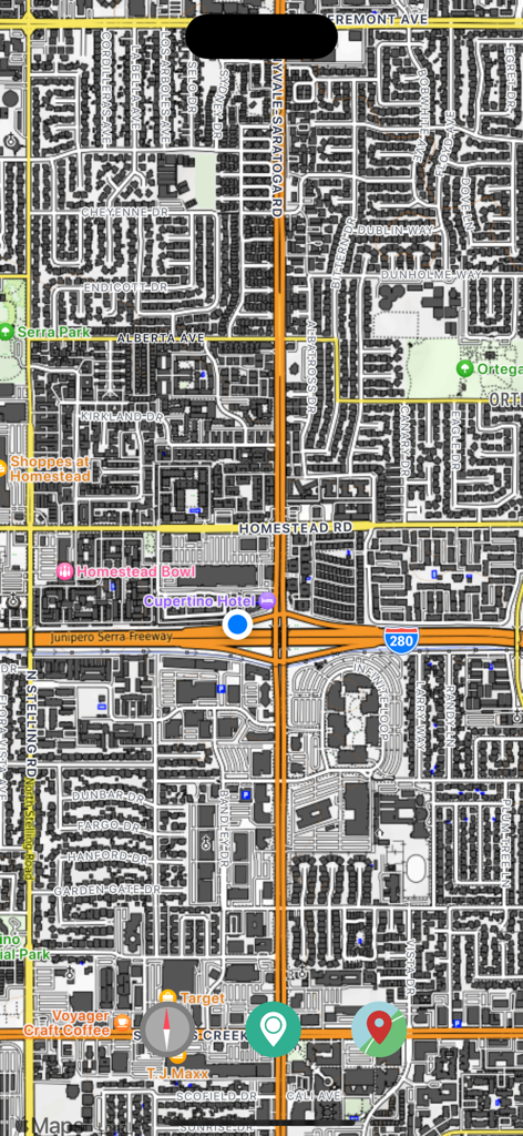
Vista dettagliata della mappa stradale urbana che mostra punti di riferimento e strade locali
Uno screenshot dell'app OpenMaps che mostra una mappa urbana dettagliata con un punto blu per la posizione attuale.
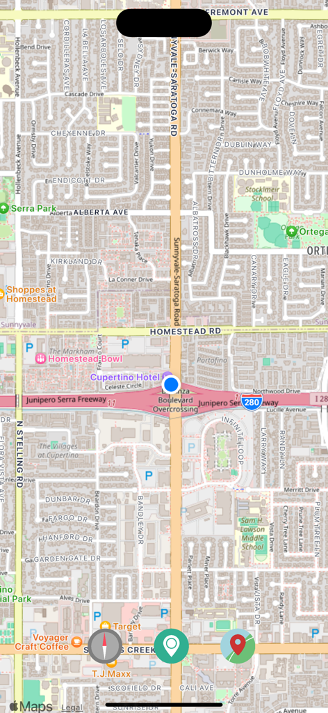
Schermata dell'app OpenMaps che mostra una mappa urbana dettagliata con nomi di strade e punti di interesse
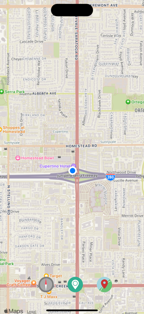
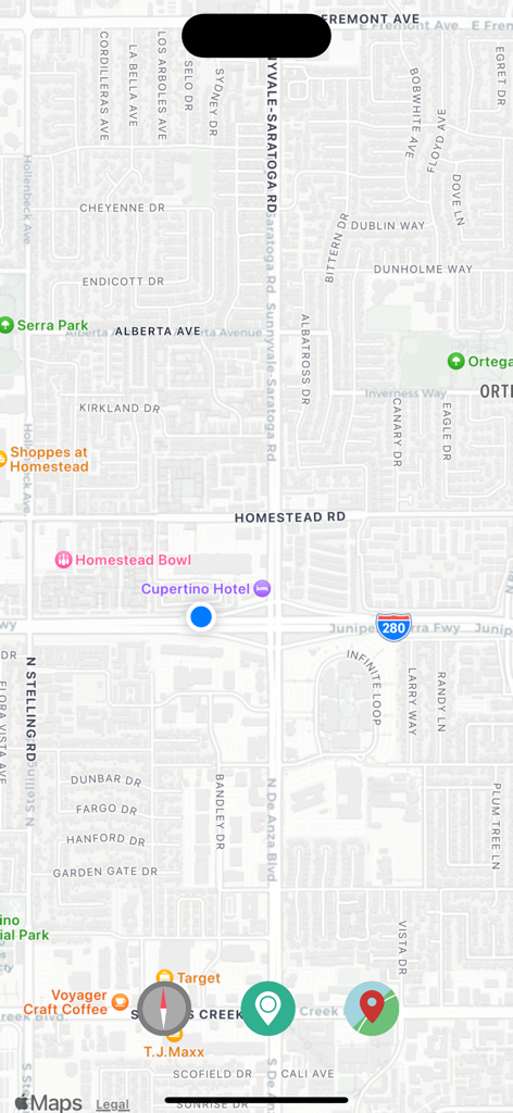
Screenshot dell'app OpenMaps che mostra una vista della mappa stradale con pulsanti di navigazione e un indicatore della posizione attuale.

Menu nell'app OpenMaps che mostra una selezione di sei livelli di mappe topografiche e nautiche open-source
Descrizione
Download
App Simili
App più classificate nella stessa categoria

Google Maps
Google LLC

Waze Navigation & Live Traffic
waze

AMap Global
AutoNavi Information Technology Co. Ltd.

百度地图-路线规划,出行必备
Beijing Baidu Netcom Science & Technology Co.,Ltd

Moovit: Bus & Transit Tracker
Moovit App Global LTD

Transit • Subway & Bus Times
9280-0366 Quebec inc.

ParkMobile: Park. Pay. Go.
Parkmobile USA, Inc

腾讯地图-路线规划,导航地铁打车出行
Shenzhen Tencent Computer Systems Company Limited

Île-de-France Mobilités
Ile de France Mobilites
Questa pagina non è una pagina ufficiale dell'app o del suo sviluppatore, ma una pubblicazione editoriale indipendente creata a scopo informativo e di commento. Salvo espressa indicazione contraria, né l'app né il suo sviluppatore sono affiliati, approvati, sponsorizzati, autorizzati o altrimenti ufficialmente collegati a MWM, Apple, Google Play, all'editore dell'app o allo sviluppatore dell'app, e nulla in questa pagina implica che l'app sia stata sviluppata utilizzando i servizi di MWM. Tutti i marchi, loghi, screenshot e altri contenuti rimangono di proprietà dei rispettivi proprietari.