Esta página não é uma página oficial do aplicativo ou de seu desenvolvedor, mas uma publicação editorial independente criada para fins informativos e de comentário. Salvo indicação expressa em contrário, nem o aplicativo nem seu desenvolvedor são afiliados, endossados, patrocinados, autorizados ou oficialmente conectados à MWM, Apple, Google Play, ao editor do aplicativo ou ao desenvolvedor do aplicativo, e nada nesta página implica que o aplicativo foi desenvolvido utilizando os serviços da MWM. Todas as marcas comerciais, logotipos, capturas de tela e outros conteúdos permanecem propriedade de seus respectivos proprietários.

Planimeter GPS Area Measure
A ferramenta essencial para agricultores, empreiteiros e topógrafos para calcular com precisão a área em hectares, mapear perímetros e rastrear distâncias diretamente do seu dispositivo móvel.
Downloads
181K+Avaliação
Total de avaliações
900Editor
Categoria
ProductivityIdiomas
1Última versão
2.1.17Tamanho
29.7 MBData de lançamento
23 de jul. de 2014Medição Profissional de Terrenos e Campos
Calcule com precisão área, distância e perímetros para agricultura, construção e imóveis com ferramentas GPS de nível profissional adaptadas para eficiência em campo.
Levantamento GPS em Tempo Real
Caminhe ou dirija ao redor do perímetro de qualquer lote de terra para capturar instantaneamente limites exatos e área em hectares com rastreamento de alta precisão.
Planejamento Remoto por Satélite
Estime áreas de telhado para instalações solares ou planeje projetos de paisagismo diretamente de imagens de alta resolução, sem precisar estar no local.
As capturas de tela e a descrição a seguir são provenientes diretamente da listagem oficial da loja do aplicativo e são propriedade do desenvolvedor.
App Store
Capturas
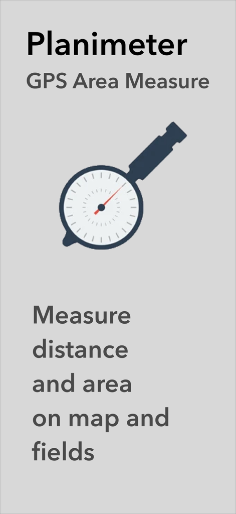
Aplicativo Planimeter GPS Área Medida mostrando o logotipo e texto para medir distância e área em mapas e campos
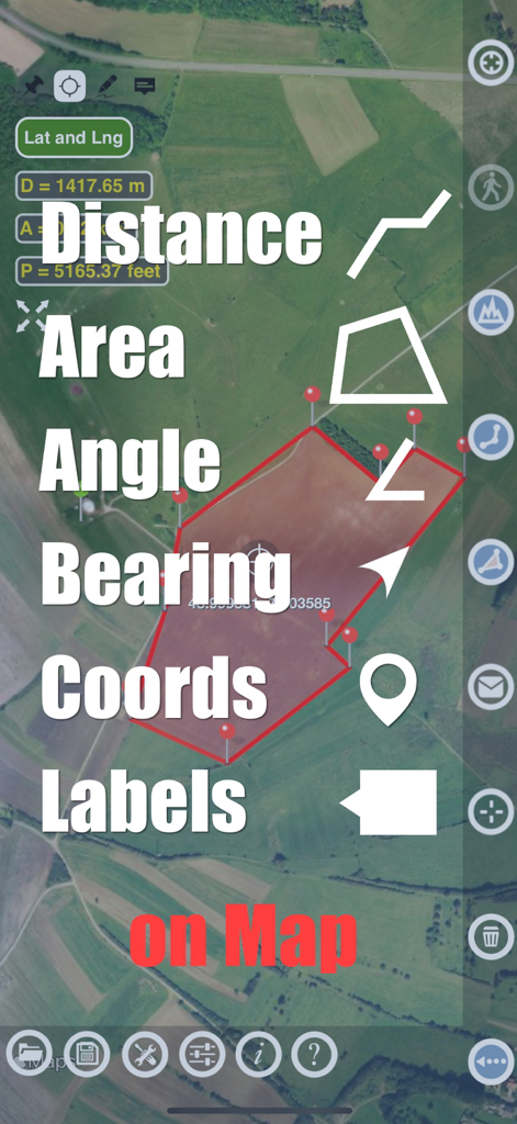
Aplicativo Planimeter mostrando recursos de medição de distância e área em um mapa de satélite
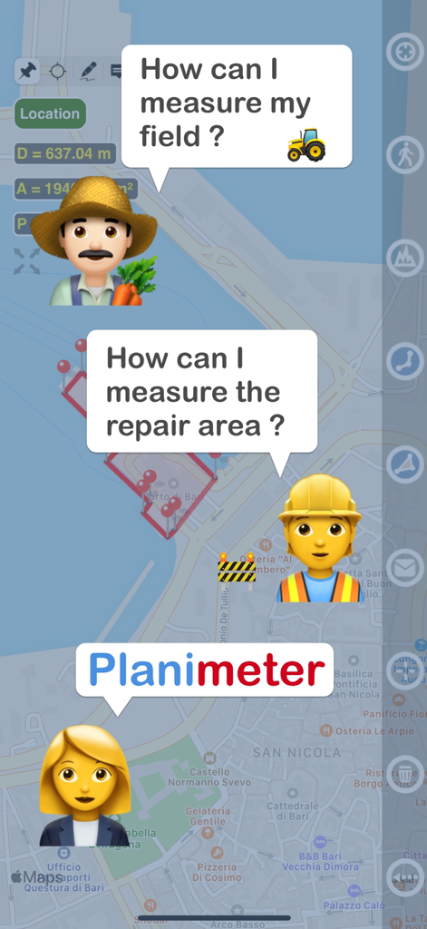
Gráfico mostrando um agricultor e um trabalhador da construção civil perguntando como medir terrenos e uma área de reparo com o aplicativo Planimeter
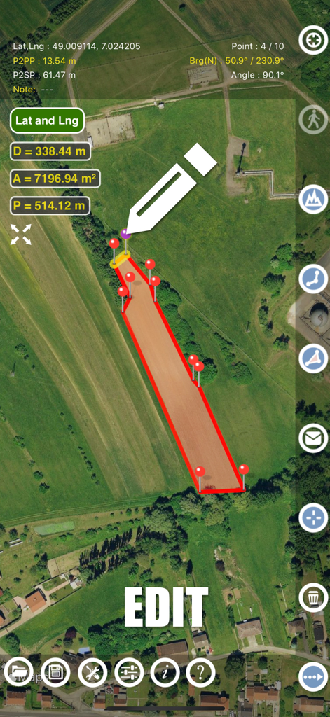
Interface do aplicativo Planimeter mostrando edição manual de medições de área de terreno em um mapa de satélite
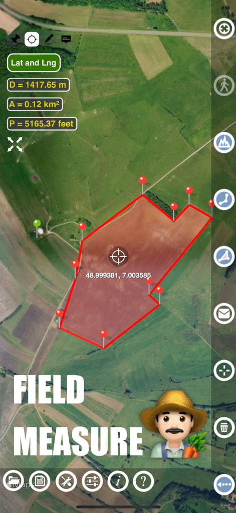
Interface do aplicativo Planimeter mostrando a medição da área e do perímetro de um campo agrícola em um mapa de satélite
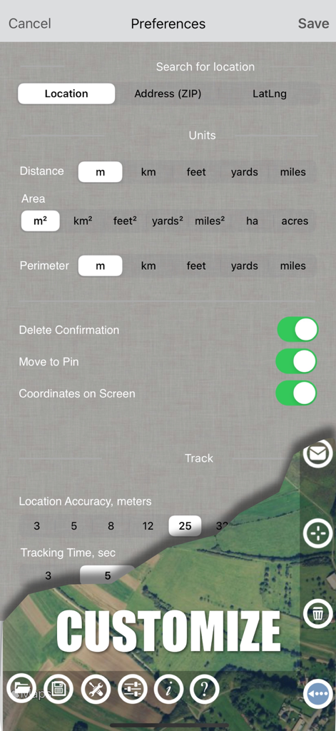
Tela de configurações do aplicativo Planimeter mostrando opções de unidades de medição e preferências de rastreamento GPS
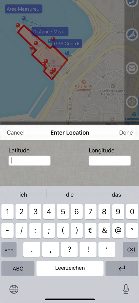
Captura de tela do aplicativo Planimeter GPS Área Medida mostrando um mapa com área medida e uma tela de entrada de dados para coordenadas de latitude e longitude.
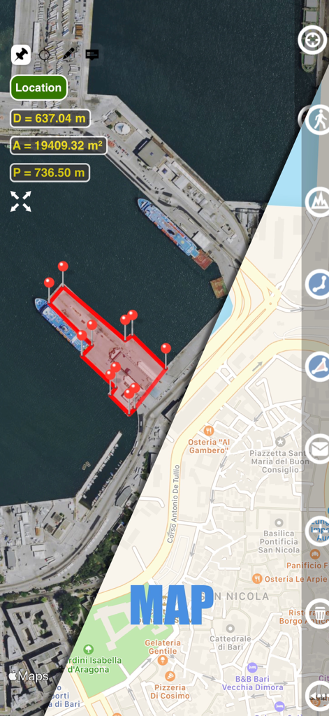
Interface do aplicativo Planimeter mostrando tela dividida com visualizações de mapa de satélite e de rua exibindo medições de área e distância de um porto
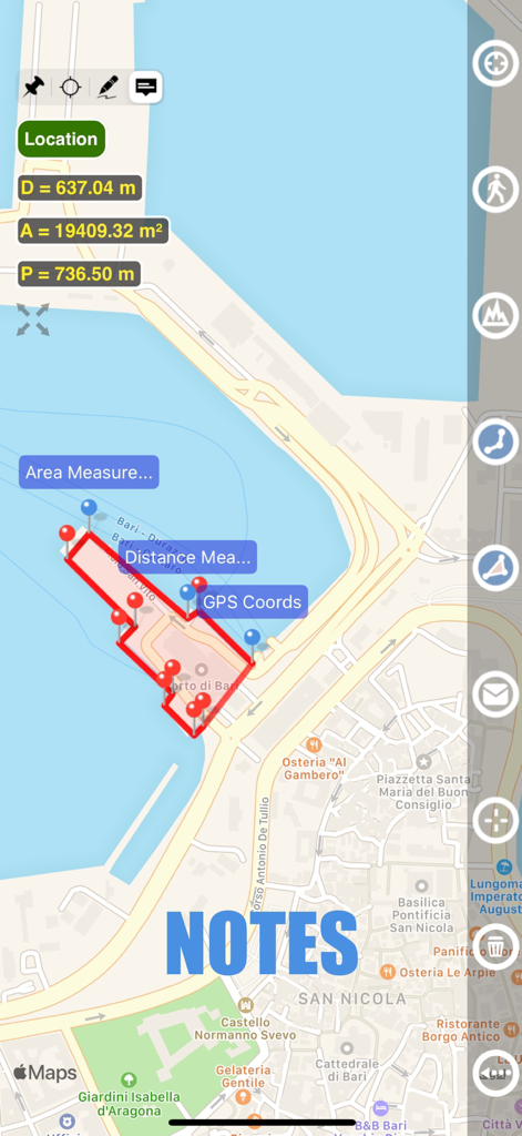
Visualização do mapa mostrando medição de área e recurso de notas no aplicativo Planimeter
Descrição
Download
Apps Semelhantes
Apps mais bem classificados na mesma categoria

ChatGPT
OpenAI OpCo, LLC

Google Gemini
Google LLC

Grok
X.AI Corporation

Gmail - Email by Google
Google LLC

千问 - 阿里最强大模型官方AI助手
Shanghai Zhixin Puhui Technology Co., Ltd.

Google Drive
Google LLC

Microsoft Authenticator
Microsoft Corporation

Google Sheets
Google LLC

Google Docs
Google LLC
Esta página não é uma página oficial do aplicativo ou de seu desenvolvedor, mas uma publicação editorial independente criada para fins informativos e de comentário. Salvo indicação expressa em contrário, nem o aplicativo nem seu desenvolvedor são afiliados, endossados, patrocinados, autorizados ou oficialmente conectados à MWM, Apple, Google Play, ao editor do aplicativo ou ao desenvolvedor do aplicativo, e nada nesta página implica que o aplicativo foi desenvolvido utilizando os serviços da MWM. Todas as marcas comerciais, logotipos, capturas de tela e outros conteúdos permanecem propriedade de seus respectivos proprietários.