Questa pagina non è una pagina ufficiale dell'app o del suo sviluppatore, ma una pubblicazione editoriale indipendente creata a scopo informativo e di commento. Salvo espressa indicazione contraria, né l'app né il suo sviluppatore sono affiliati, approvati, sponsorizzati, autorizzati o altrimenti ufficialmente collegati a MWM, Apple, Google Play, all'editore dell'app o allo sviluppatore dell'app, e nulla in questa pagina implica che l'app sia stata sviluppata utilizzando i servizi di MWM. Tutti i marchi, loghi, screenshot e altri contenuti rimangono di proprietà dei rispettivi proprietari.

Planimeter GPS Area Measure
Lo strumento essenziale per agricoltori, appaltatori e geometri per calcolare accuratamente l'ettarato, mappare i perimetri e tracciare le distanze direttamente dal tuo dispositivo mobile.
Download
181K+Valutazione
Valutazioni totali
900Editore
Categoria
ProductivityLingue
1Ultima versione
2.1.17Dimensione
29.7 MBData di lancio
23 lug 2014Misurazione Professionale di Terreni e Campi
Calcola accuratamente area, distanza e perimetri per agricoltura, edilizia e immobiliare con strumenti GPS di livello professionale su misura per l'efficienza sul campo.
Rilievi GPS in Tempo Reale
Percorri o guida lungo il perimetro di qualsiasi appezzamento di terreno per acquisire istantaneamente i confini esatti e l'ettarato con un tracciamento ad alta precisione.
Pianificazione Remota via Satellite
Stima le aree dei tetti per installazioni solari o pianifica progetti di paesaggistica direttamente da immagini ad alta risoluzione senza bisogno di essere sul posto.
Gli screenshot e la descrizione seguenti provengono direttamente dall'elenco ufficiale dello store dell'app e sono di proprietà dello sviluppatore.
App Store
Screenshot
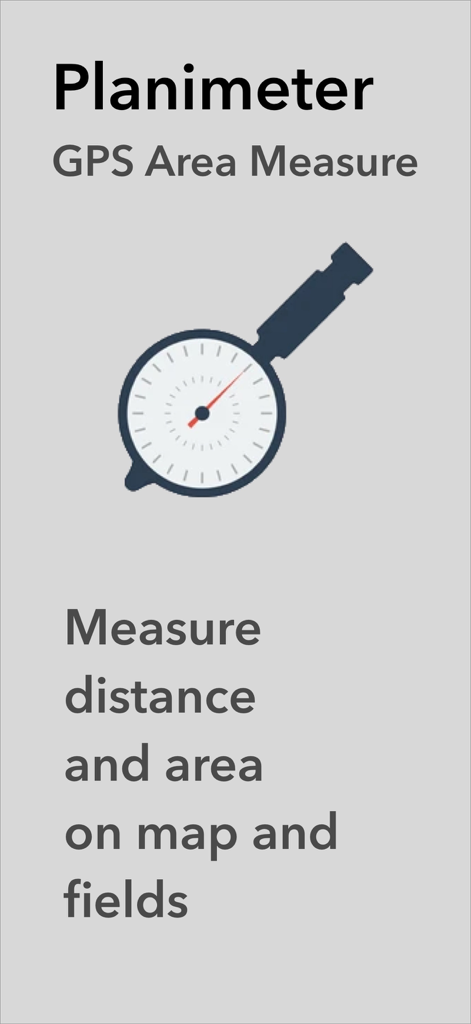
Schermata dell'app Planimeter GPS Area Measure che mostra il logo e il testo per la misurazione di distanza e area su mappe e campi
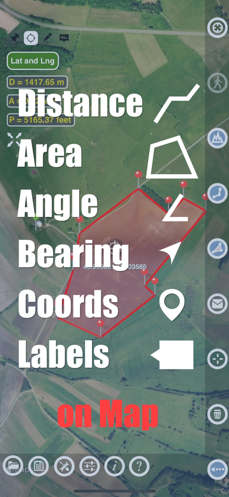
App Planimeter che mostra funzionalità di misurazione di distanza e area su una mappa satellitare
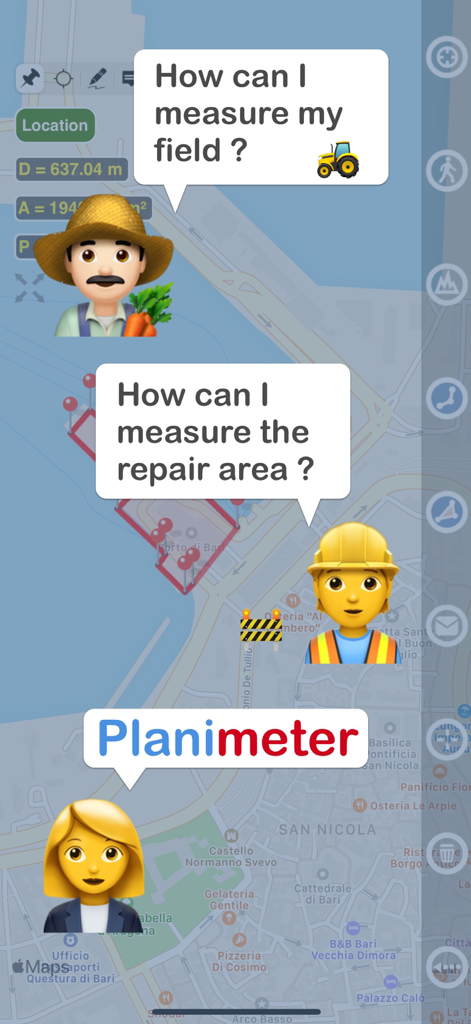
Grafica che mostra un agricoltore e un operaio edile che chiedono come misurare il terreno e un'area di riparazione con l'app Planimeter
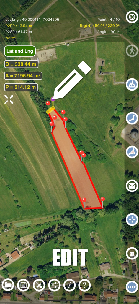
Interfaccia dell'app Planimeter che mostra la modifica manuale delle misurazioni dell'area del terreno su una mappa satellitare
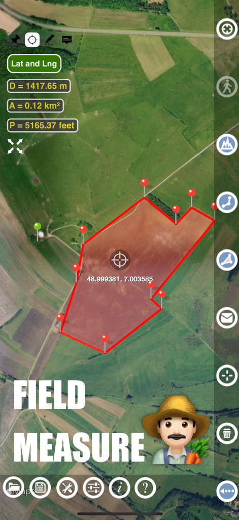
Interfaccia dell'app Planimeter che mostra la misurazione dell'area e del perimetro di un campo agricolo su una mappa satellitare
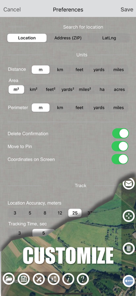
Schermata delle impostazioni dell'app Planimeter che mostra le opzioni delle unità di misura e le preferenze di tracciamento GPS
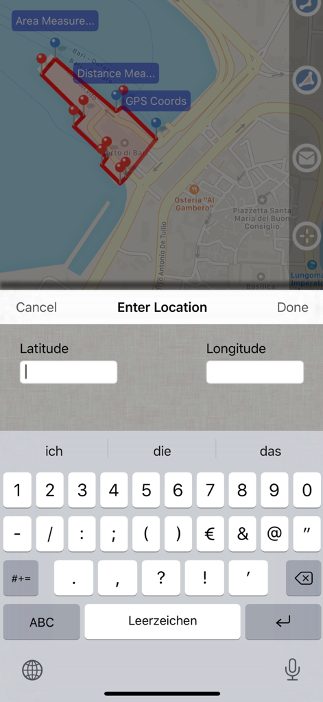
Screenshot dell'app Planimeter GPS Area Measure che mostra una mappa con l'area misurata e una schermata di immissione dati per le coordinate di latitudine e longitudine.
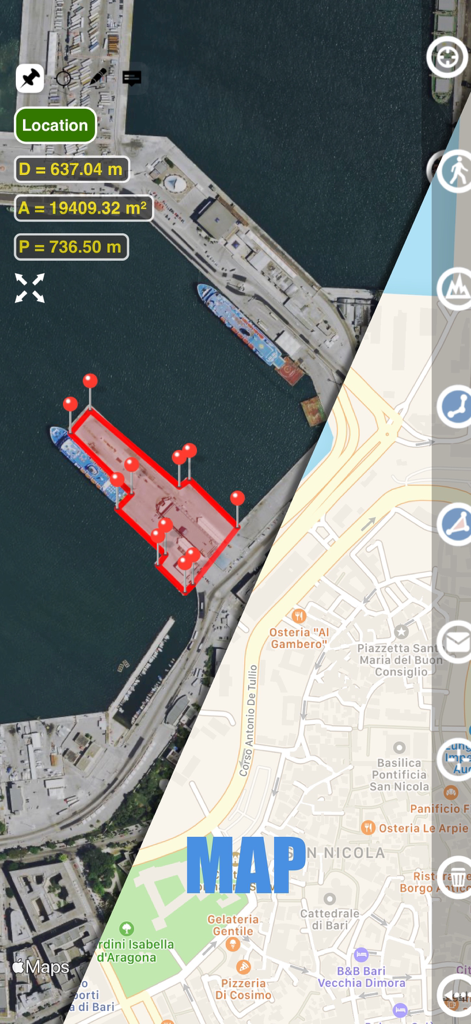
Interfaccia dell'app Planimeter che mostra una schermata divisa con viste mappa satellitare e stradale che visualizzano le misurazioni di area e distanza di un porto
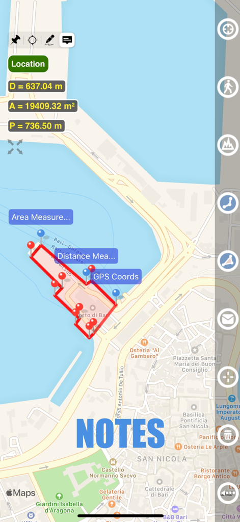
Vista mappa che mostra la misurazione dell'area e la funzionalità note nell'app Planimeter GPS
Descrizione
Download
App Simili
App più classificate nella stessa categoria

ChatGPT
OpenAI OpCo, LLC

Google Gemini
Google LLC

Grok
X.AI Corporation

Gmail - Email by Google
Google LLC

千问 - 阿里最强大模型官方AI助手
Shanghai Zhixin Puhui Technology Co., Ltd.

Google Drive
Google LLC

Microsoft Authenticator
Microsoft Corporation

Google Sheets
Google LLC

Google Docs
Google LLC
Questa pagina non è una pagina ufficiale dell'app o del suo sviluppatore, ma una pubblicazione editoriale indipendente creata a scopo informativo e di commento. Salvo espressa indicazione contraria, né l'app né il suo sviluppatore sono affiliati, approvati, sponsorizzati, autorizzati o altrimenti ufficialmente collegati a MWM, Apple, Google Play, all'editore dell'app o allo sviluppatore dell'app, e nulla in questa pagina implica che l'app sia stata sviluppata utilizzando i servizi di MWM. Tutti i marchi, loghi, screenshot e altri contenuti rimangono di proprietà dei rispettivi proprietari.