Diese Seite ist keine offizielle Seite der App oder ihres Entwicklers, sondern eine unabhängige redaktionelle Veröffentlichung, die zu Informations- und Kommentarzwecken erstellt wurde. Sofern nicht ausdrücklich anders angegeben, sind weder die App noch ihr Entwickler mit MWM, Apple, Google Play, dem App-Herausgeber oder dem Entwickler der App verbunden, von ihnen unterstützt, gesponsert, autorisiert oder anderweitig offiziell verbunden, und nichts auf dieser Seite impliziert, dass die App unter Verwendung der Dienste von MWM entwickelt wurde. Alle Marken, Logos, Screenshots und andere Inhalte bleiben Eigentum ihrer jeweiligen Inhaber.

Bruce Trail App
Navigieren Sie mit Zuversicht auf dem Niagara-Schichtkamm mit offiziellen Offline-Karten und Echtzeit-Updates. Planen Sie Ihre Route, verfolgen Sie Ihren Fortschritt und unterstützen Sie mit jedem Schritt den Schutz des Wanderwegs.
Downloads
13K+Bewertung
Bewertungen gesamt
200Herausgeber
Kategorie
LifestyleSprachen
1Neueste Version
2.5Größe
28.5 MBErstveröffentlichung
1. Nov. 2021Navigieren Sie jede Meile mit Zuversicht
Der offizielle Leitfaden für Kanadas ikonischsten Wanderweg, mit Echtzeit-Updates und Expertenwerkzeugen, die für jeden Schritt Ihrer Reise entwickelt wurden.
Offizielle Offline-Karten
Greifen Sie ohne Mobilfunkverbindung auf 42 von Experten kuratierte Karten zu. Erhalten Sie Live-Routen-Updates direkt vom Conservancy für absolute Sicherheit.
Präzise Reiseplanung
Finden Sie mühelos Parkplätze, Campingplätze und Wanderwege. Nutzen Sie das Routenmesswerkzeug, um Ihre täglichen Kilometer und Logistik einfach zu planen.
Die folgenden Screenshots und die Beschreibung stammen direkt aus dem offiziellen Store-Eintrag der App und sind Eigentum des Entwicklers.
App Store
Screenshots
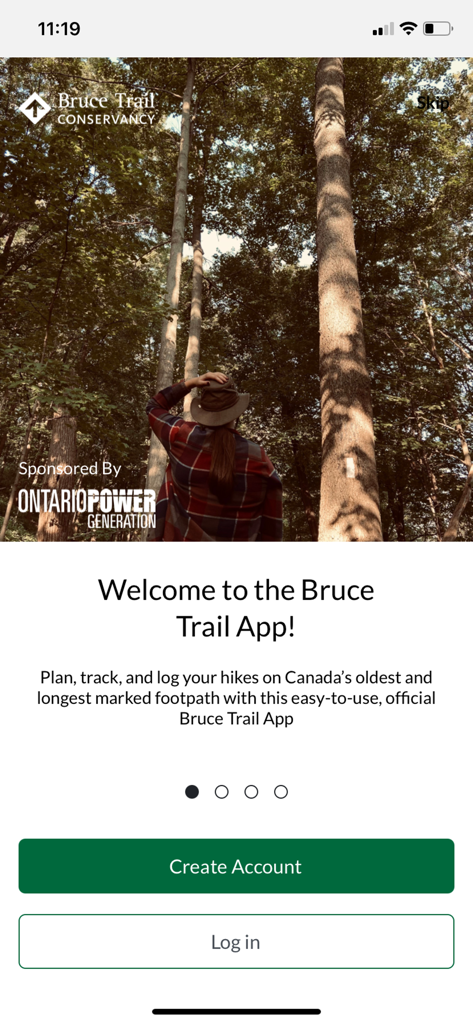
Startbildschirm der Bruce Trail App, der einen Wanderer in einem Wald mit hohen Bäumen zeigt
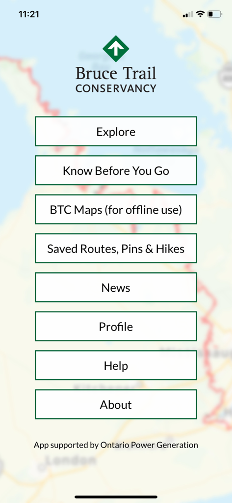
Das Hauptmenü der Bruce Trail App mit Optionen für Erkunden, BTC-Karten, Gespeicherte Routen und Nachrichten über einer Wanderkartenansicht.
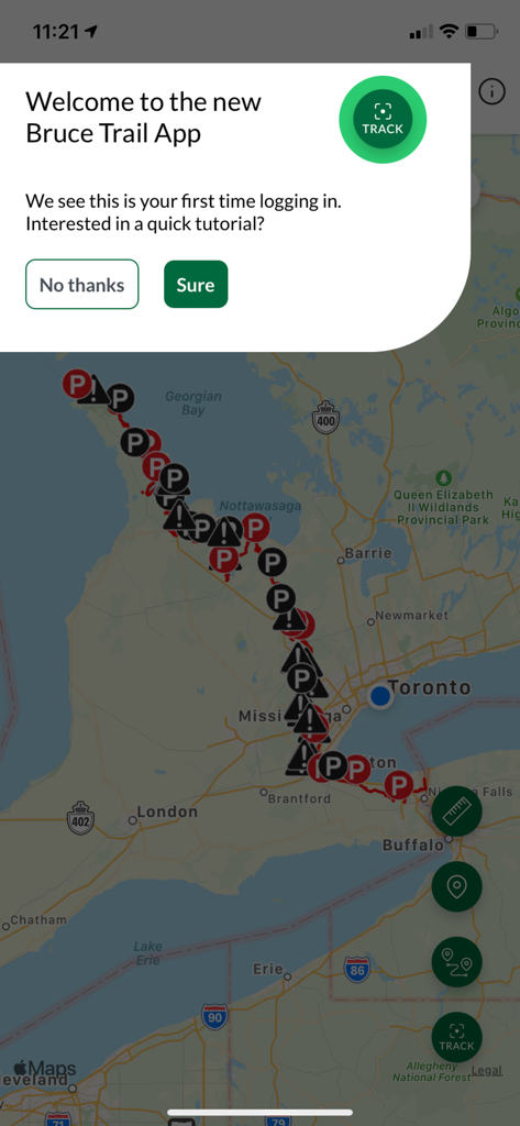
Das Willkommens-Tutorial-Popup, das über einer Kartenansicht in der Bruce Trail App angezeigt wird.
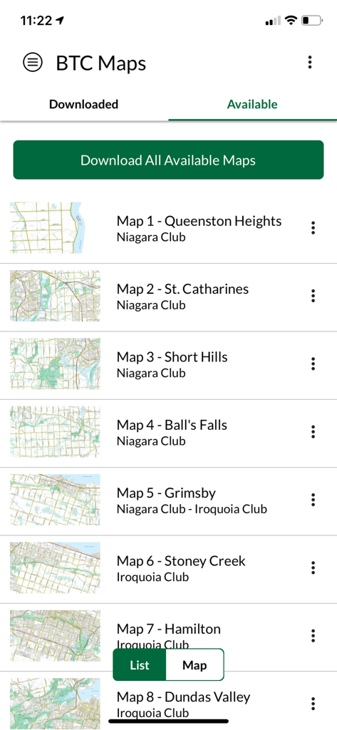
Liste der verfügbaren Karten zum Herunterladen in der Bruce Trail App
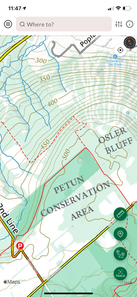
Topografische Karte des Petun Conservation Area in der Benutzeroberfläche der Bruce Trail App
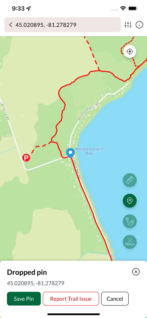
Die Kartenoberfläche der Bruce Trail App zeigt einen gesetzten Pin auf einer Wanderroute in der Nähe von Whippoorwill Bay
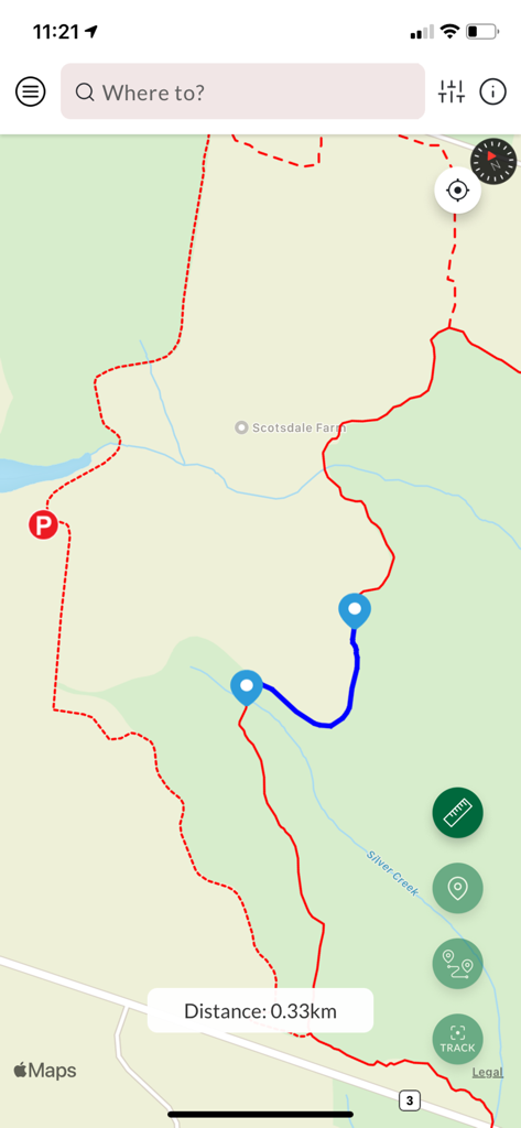
Die Kartenoberfläche der Bruce Trail App zeigt eine geplante Wanderroute mit einer Entfernungsangabe von null Komma dreißig Kilometern an
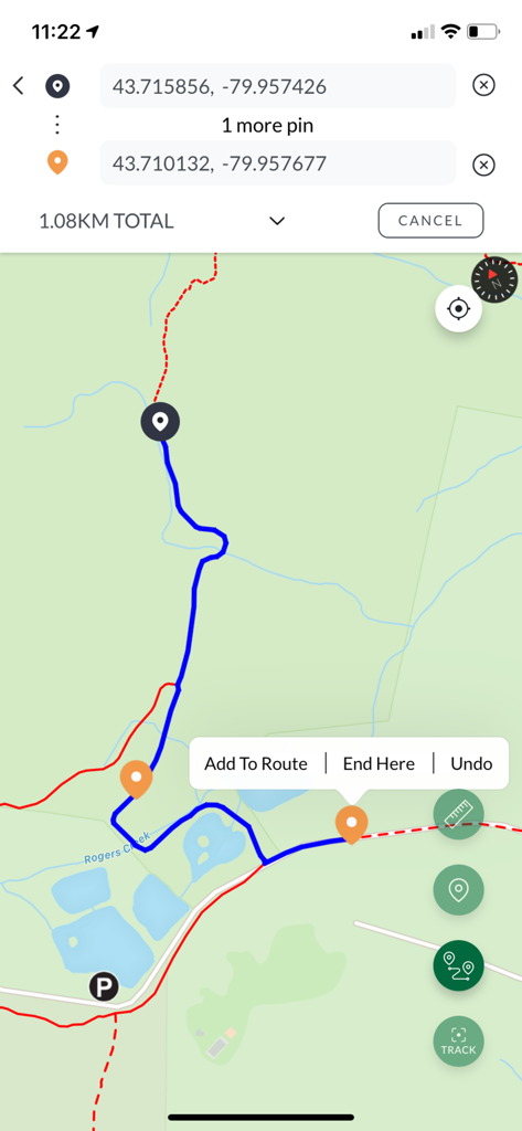
Mobile Kartenansicht, die eine 1,08 km lange Wanderroute mit GPS-Koordinaten und benutzerdefinierten Pins anzeigt
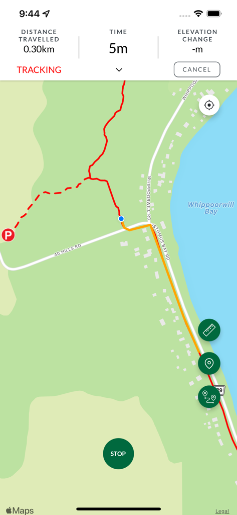
Der Tracking-Bildschirm der Bruce Trail App zeigt eine Karte mit einer roten Wanderlinie und Entfernungsstatistiken an
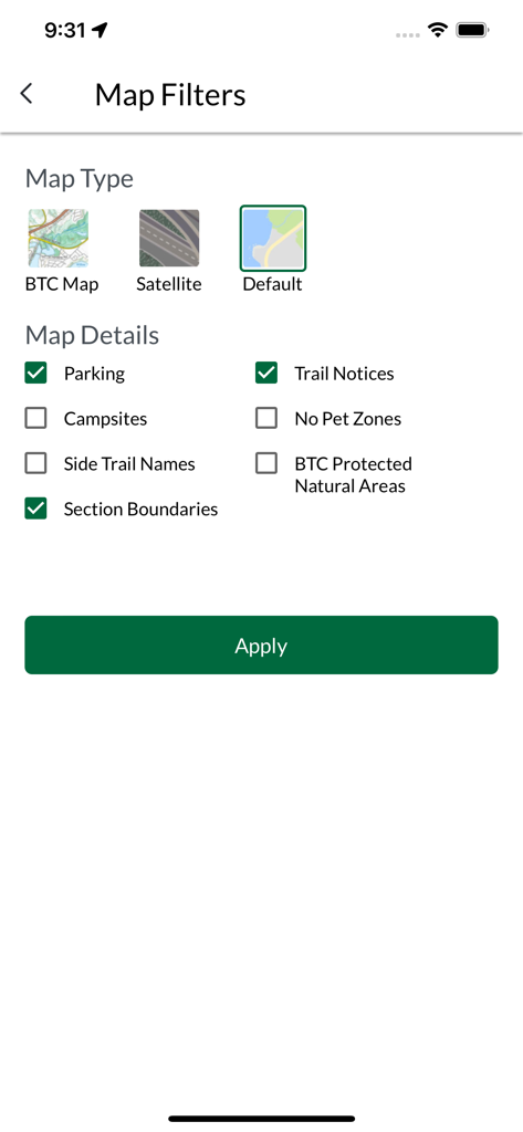
Bildschirm mit Kartenfiltern in der Bruce Trail App, der Optionen für Kartentypen und Wanderwegdetails wie Parkplätze und Hinweise anzeigt
Beschreibung
Download
Ähnliche Apps
Apps mit ähnlichen Funktionen und Nutzererfahrung


Diese Seite ist keine offizielle Seite der App oder ihres Entwicklers, sondern eine unabhängige redaktionelle Veröffentlichung, die zu Informations- und Kommentarzwecken erstellt wurde. Sofern nicht ausdrücklich anders angegeben, sind weder die App noch ihr Entwickler mit MWM, Apple, Google Play, dem App-Herausgeber oder dem Entwickler der App verbunden, von ihnen unterstützt, gesponsert, autorisiert oder anderweitig offiziell verbunden, und nichts auf dieser Seite impliziert, dass die App unter Verwendung der Dienste von MWM entwickelt wurde. Alle Marken, Logos, Screenshots und andere Inhalte bleiben Eigentum ihrer jeweiligen Inhaber.