Diese Seite ist keine offizielle Seite der App oder ihres Entwicklers, sondern eine unabhängige redaktionelle Veröffentlichung, die zu Informations- und Kommentarzwecken erstellt wurde. Sofern nicht ausdrücklich anders angegeben, sind weder die App noch ihr Entwickler mit MWM, Apple, Google Play, dem App-Herausgeber oder dem Entwickler der App verbunden, von ihnen unterstützt, gesponsert, autorisiert oder anderweitig offiziell verbunden, und nichts auf dieser Seite impliziert, dass die App unter Verwendung der Dienste von MWM entwickelt wurde. Alle Marken, Logos, Screenshots und andere Inhalte bleiben Eigentum ihrer jeweiligen Inhaber.

Kuala Lumpur Subway Map
Der All-in-One-Begleiter für den unabhängigen Reisenden. Navigieren Sie mühelos durch das RapidKL-Netzwerk, verfolgen Sie Flüge am KUL und greifen Sie auf wichtige Stadtführer zu – alles in einer leistungsstarken App, die für Ihr nächstes malaysisches Abenteuer entwickelt wurde.
Downloads
6K+Bewertung
Bewertungen gesamt
0Herausgeber
Kategorie
NavigationSprachen
1Neueste Version
2.0Größe
34.8 MBErstveröffentlichung
6. März 2024Meistern Sie KL wie ein Einheimischer
Das All-in-One-Toolkit für amerikanische Reisende, um das Nahverkehrsnetz von Kuala Lumpur zu durchqueren, Flüge zu verfolgen und mit völliger Zuversicht zu erkunden.
Integrierte Transitnavigation
Navigieren Sie durch das gesamte Klang Valley-Netzwerk, einschließlich MRT, LRT und Monorail. Planen Sie mühelos Ihre Route von KL Sentral zu den Petronas Towers.
KUL Flugverfolgung
Überwachen Sie Ankünfte und Abflüge am Kuala Lumpur International Airport in Echtzeit. Perfekt getimt für Ihre KULIA Ekspres- oder Transit-Flughafenverbindung.
Die folgenden Screenshots und die Beschreibung stammen direkt aus dem offiziellen Store-Eintrag der App und sind Eigentum des Entwicklers.
App Store
Screenshots
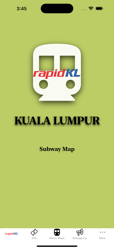
Startbildschirm der mobilen App Kuala Lumpur Subway Map mit RapidKL-Logo und Nahverkehrsnavigationsmenü
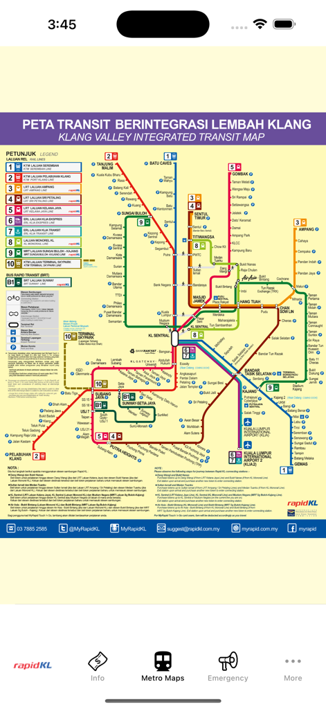
Integrierte Nahverkehrskarte des U-Bahn- und U-Bahn-Netzwerks von Kuala Lumpur
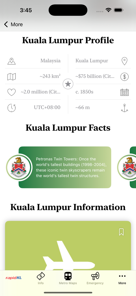
Kuala Lumpur Stadprofil und Faktenbildschirm mit Informationen über die Petronas Twin Towers und Stadtstatistiken
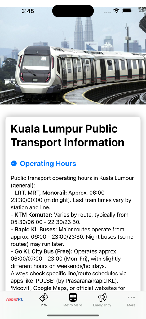
Bildschirm mit den Betriebszeiten für die U-Bahn-, LRT-, MRT- und Monorail-Dienste in Kuala Lumpur
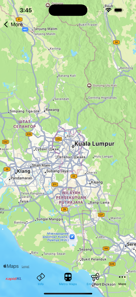
Live-Stadtkarte von Kuala Lumpur und Umgebung in der U-Bahn-Navigations-App
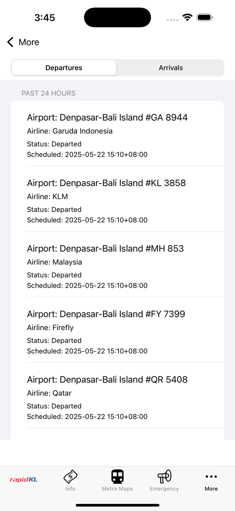
Eine Liste der Flugabflüge von Denpasar Bali in der Kuala Lumpur U-Bahn-Karten-App
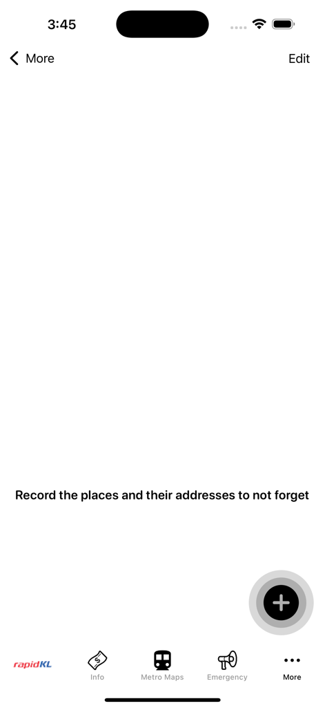
Persönlicher Notizenbildschirm in der Kuala Lumpur Subway Map App zum Aufzeichnen von Reisezielen und Adressen.
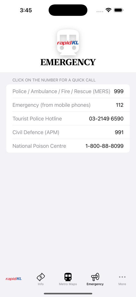
Notfallkontaktbildschirm in der Kuala Lumpur Subway Map App mit einer Liste lokaler Notfalldienste und der Touristenpolizei-Hotline.
Beschreibung
Download
Ähnliche Apps
Top-gerankte Apps in derselben Kategorie

Google Maps
Google LLC

Waze Navigation & Live Traffic
waze

AMap Global
AutoNavi Information Technology Co. Ltd.

百度地图-路线规划,出行必备
Beijing Baidu Netcom Science & Technology Co.,Ltd

Moovit: Bus & Transit Tracker
Moovit App Global LTD

Transit • Subway & Bus Times
9280-0366 Quebec inc.

ParkMobile: Park. Pay. Go.
Parkmobile USA, Inc

腾讯地图-路线规划,导航地铁打车出行
Shenzhen Tencent Computer Systems Company Limited

Île-de-France Mobilités
Ile de France Mobilites
Diese Seite ist keine offizielle Seite der App oder ihres Entwicklers, sondern eine unabhängige redaktionelle Veröffentlichung, die zu Informations- und Kommentarzwecken erstellt wurde. Sofern nicht ausdrücklich anders angegeben, sind weder die App noch ihr Entwickler mit MWM, Apple, Google Play, dem App-Herausgeber oder dem Entwickler der App verbunden, von ihnen unterstützt, gesponsert, autorisiert oder anderweitig offiziell verbunden, und nichts auf dieser Seite impliziert, dass die App unter Verwendung der Dienste von MWM entwickelt wurde. Alle Marken, Logos, Screenshots und andere Inhalte bleiben Eigentum ihrer jeweiligen Inhaber.