このページはアプリまたはその開発者の公式ページではなく、情報提供および論評を目的として作成された独立した編集出版物です。明示的に別段の記載がない限り、アプリおよびその開発者は、MWM、Apple、Google Play、アプリのパブリッシャー、またはアプリの開発者と提携、承認、後援、認可、またはその他の公式的な関係はなく、このページのいかなる内容も、アプリがMWMのサービスを使用して開発されたことを意味するものではありません。すべての商標、ロゴ、スクリーンショット、その他のコンテンツはそれぞれの所有者の財産です。

3D Mappa - GIS & Topo Analysis
iPhoneやiPadを強力な地理空間ワークステーションに変えましょう。等高線、傾斜、流動パターンをリアルタイムで視覚化し、現場にいながら高精度なデータをAutoCADやGISソフトウェアに直接エクスポートできます。
ダウンロード
7K+ユーザー評価
評価数
0開発元
カテゴリ
Navigation対応言語
1最新バージョン
1.5.0サイズ
232.3 MBリリース日
2024年4月11日フィールド対応GIS解析
オフィスでの待ち時間はもう不要です。iPhoneやiPadから直接、地形を分析し、流動パターンをシミュレーションし、プログレードのデータをエクスポートできます。
現場でのデスクトップパワー
傾斜、方位、流動解析といった複雑な解析を、その場で実行できます。これにより、コストのかかる再訪問を削減し、フィールドの効率を向上させます。
シームレスなCAD連携
解析結果を業界標準のDXF、SHP、CSV形式でエクスポートし、フィールドデータをAutoCADやArcGISプロジェクトに直接取り込めます。
以下のスクリーンショットと説明は、アプリの公式ストアリスティングから直接取得されたものであり、アプリ開発者の所有物です。
アプリストア
スクリーンショット
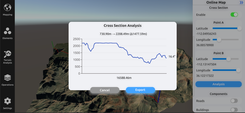
3D地形モデル上に標高プロファイルが表示された断面解析グラフを示す3D Mappaのインターフェース
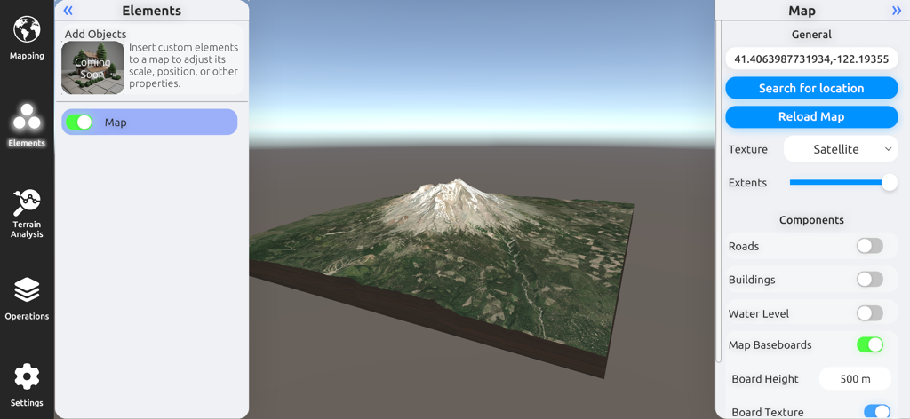
衛星画像とマップ設定を備えた山の3D地形モデル。3D Mappa GISアプリ
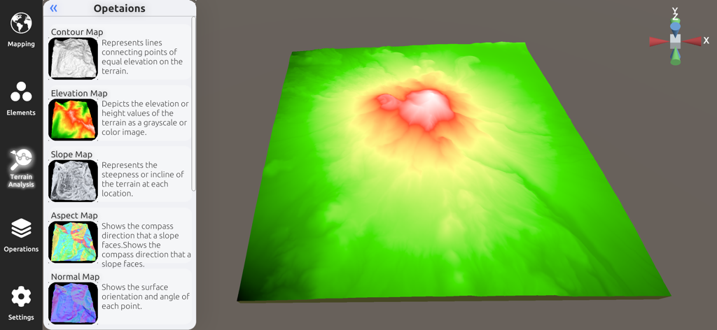
3D Mappaアプリの3D標高モデルと地形解析サイドバー
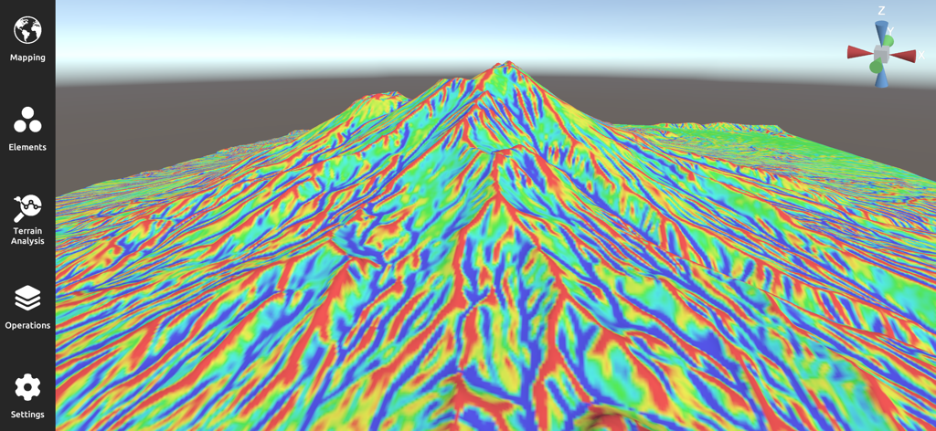
3D Mappaアプリの山岳風景にカラフルな傾斜マップが表示された3D地形の視覚化
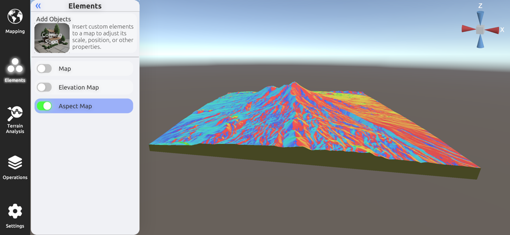
地形解析用の詳細なカラフルな3D方位マップを表示する3D Mappaモバイルインターフェース
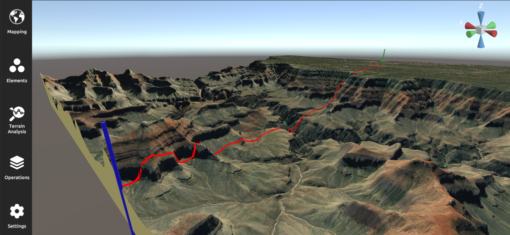
赤い経路を持つ険しい渓谷の風景を示すプロフェッショナルな3D地形解析およびマッピングインターフェース
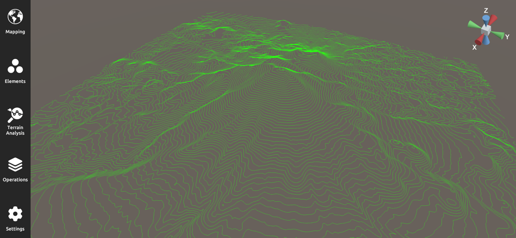
GIS地形解析用の緑色の等高線が表示された3D地形図
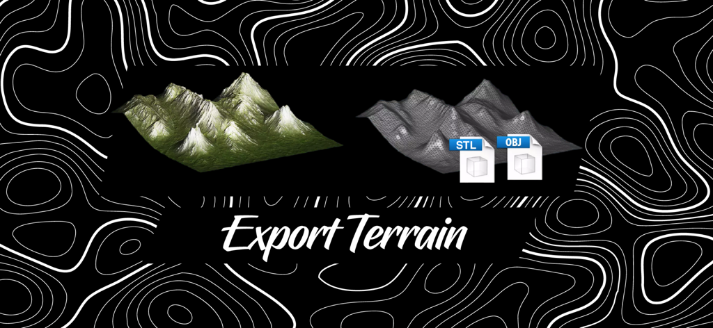
3D MappaでSTLおよびOBJ形式で3D地形モデルをエクスポート
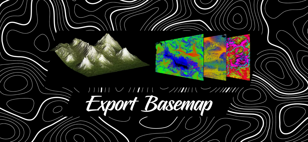
エクスポートベースマップと表示されたテキストを持つ、カラフルな地形ベースマップレイヤーと3D地形モデル
説明
Download
類似アプリ
同じカテゴリのトップランクアプリ

Google Maps
Google LLC

Waze Navigation & Live Traffic
waze

AMap Global
AutoNavi Information Technology Co. Ltd.

百度地图-路线规划,出行必备
Beijing Baidu Netcom Science & Technology Co.,Ltd

Moovit: Bus & Transit Tracker
Moovit App Global LTD

Transit • Subway & Bus Times
9280-0366 Quebec inc.

ParkMobile: Park. Pay. Go.
Parkmobile USA, Inc

腾讯地图-路线规划,导航地铁打车出行
Shenzhen Tencent Computer Systems Company Limited

Île-de-France Mobilités
Ile de France Mobilites
このページはアプリまたはその開発者の公式ページではなく、情報提供および論評を目的として作成された独立した編集出版物です。明示的に別段の記載がない限り、アプリおよびその開発者は、MWM、Apple、Google Play、アプリのパブリッシャー、またはアプリの開発者と提携、承認、後援、認可、またはその他の公式的な関係はなく、このページのいかなる内容も、アプリがMWMのサービスを使用して開発されたことを意味するものではありません。すべての商標、ロゴ、スクリーンショット、その他のコンテンツはそれぞれの所有者の財産です。