このページはアプリまたはその開発者の公式ページではなく、情報提供および論評を目的として作成された独立した編集出版物です。明示的に別段の記載がない限り、アプリおよびその開発者は、MWM、Apple、Google Play、アプリのパブリッシャー、またはアプリの開発者と提携、承認、後援、認可、またはその他の公式的な関係はなく、このページのいかなる内容も、アプリがMWMのサービスを使用して開発されたことを意味するものではありません。すべての商標、ロゴ、スクリーンショット、その他のコンテンツはそれぞれの所有者の財産です。

Avalanche Inclinometer
視認性の高い斜面、標高、方位の読み取りで雪崩の知識を身につけましょう。大きなフォント、音声フィードバック、即時の安全色分けにより、バックカントリーの過酷な条件に合わせて設計されています。
ダウンロード
88K+ユーザー評価
評価数
0開発元
カテゴリ
Sports対応言語
1最新バージョン
1.0.1サイズ
53.7 MBリリース日
2016年10月12日地形を自信を持ってマスター
バックカントリースキーヤーやライダーのために設計され、雪崩地形を安全かつ効率的に移動するために必要な重要なデータを提供します。
高視認性インターフェース
ゴーグルを着用していても、まぶしい太陽や激しい嵐の中でも見えるように設計された、巨大なフォントと高コントラストのディスプレイ。
目を使わない斜面分析
色分けされたリスクダイヤルと、測定中に傾斜を読み上げる音声測定により、即座にフィードバックを得られます。
以下のスクリーンショットと説明は、アプリの公式ストアリスティングから直接取得されたものであり、アプリ開発者の所有物です。
アプリストア
スクリーンショット
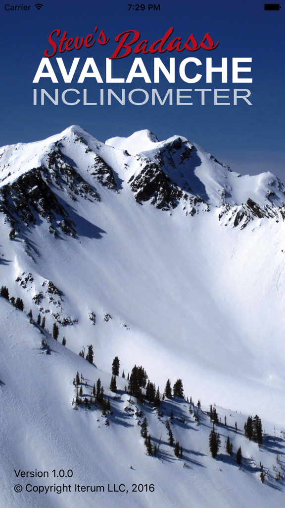
雪に覆われた連峰を特徴とする、スティーブの「Badass Avalanche Inclinometer」アプリのホーム画面
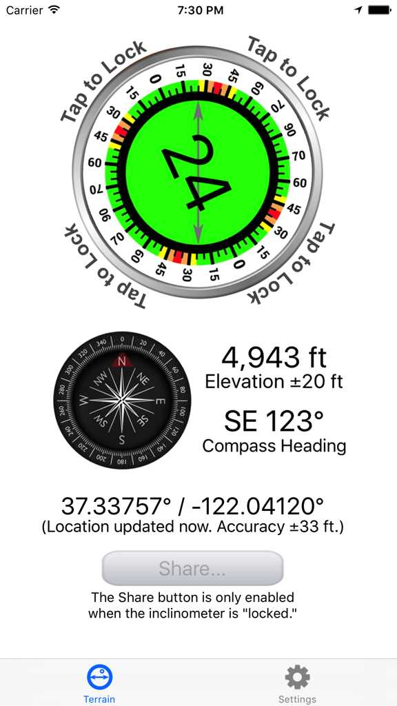
24度の傾斜角、4943フィートの標高、コンパスの方位を表示するアバランチ・インクリノメーターのアプリ画面
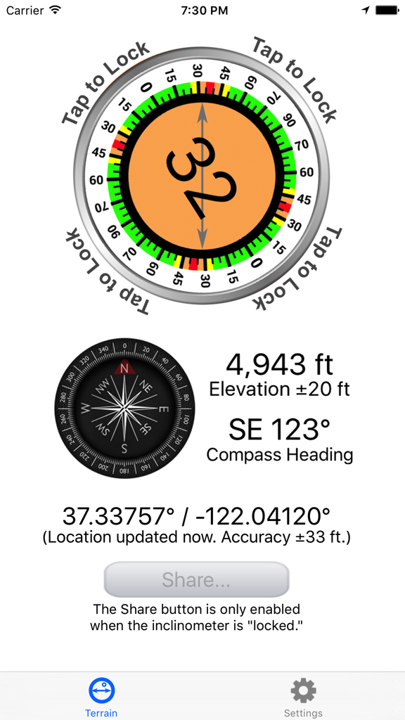
32度の斜面測定、コンパスの方位、標高、GPS座標を表示するアバランチ・インクリノメーターのアプリインターフェース
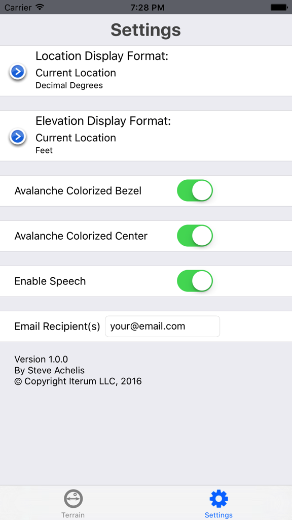
位置情報の形式、色分けされた視覚補助、音声フィードバックのオプションを備えたアバランチ・インクリノメーターアプリの設定画面
説明
Download
類似アプリ
同じカテゴリのトップランクアプリ

得物 - 得到美好事物
Shanghai Dewu Information Group Co., Ltd.

懂球帝 - 足球篮球体坛数据
Hainan Football-Loving Girl Network Technology Co., Ltd.

Underdog Sports
Underdog Sports, Inc.

虎扑-评分篮球足球游戏影视
Shanghai Kuanghui Network Technology Co., LTD

ESPN: Live Sports & Scores
Disney Electronic Content, Inc.

Flashscore: Live Scores & News
Livesport s.r.o.

Polymarket
Blockratize Inc

DAZN: Stream Live Sports
DAZN Limited

DraftKings Sportsbook & Casino
DRAFTKINGS LLC.
このページはアプリまたはその開発者の公式ページではなく、情報提供および論評を目的として作成された独立した編集出版物です。明示的に別段の記載がない限り、アプリおよびその開発者は、MWM、Apple、Google Play、アプリのパブリッシャー、またはアプリの開発者と提携、承認、後援、認可、またはその他の公式的な関係はなく、このページのいかなる内容も、アプリがMWMのサービスを使用して開発されたことを意味するものではありません。すべての商標、ロゴ、スクリーンショット、その他のコンテンツはそれぞれの所有者の財産です。