このページはアプリまたはその開発者の公式ページではなく、情報提供および論評を目的として作成された独立した編集出版物です。明示的に別段の記載がない限り、アプリおよびその開発者は、MWM、Apple、Google Play、アプリのパブリッシャー、またはアプリの開発者と提携、承認、後援、認可、またはその他の公式的な関係はなく、このページのいかなる内容も、アプリがMWMのサービスを使用して開発されたことを意味するものではありません。すべての商標、ロゴ、スクリーンショット、その他のコンテンツはそれぞれの所有者の財産です。

California Road Report
ライブ高速道路カメラ、公式CHPインシデント、チェーン規制アラートで自信を持ってナビゲートしましょう。ハンズフリー音声アップデートとカープレイ統合で、カリフォルニア州のあらゆる旅を安全に。
ダウンロード
256K+ユーザー評価
評価数
8K+開発元
カテゴリ
Navigation対応言語
1最新バージョン
3.29.1サイズ
58.0 MBリリース日
2010年4月13日カリフォルニア州の道路をマスター
リアルタイムの状況認識のための公式ソース。CHPインシデントからスノーチェーン要件まで、より安全でスマートな運転に必要なデータを取得します。
公式リアルタイムインシデント
CHPおよびCalTransからの直接アップデートを入手します。州で最も信頼性の高い公式データで、事故、道路工事、閉鎖に関する情報を入手してください。
視覚的な道路確認
ご自身の目で確認しましょう。カリフォルニア州全域の500以上の高速道路カメラにアクセスし、視覚的な確実性で気象条件と交通の流れを確認します。
以下のスクリーンショットと説明は、アプリの公式ストアリスティングから直接取得されたものであり、アプリ開発者の所有物です。
アプリストア
スクリーンショット
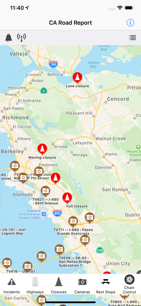
カリフォルニア・ロード・レポートアプリの地図で、サンフランシスコ・ベイエリアの道路閉鎖と交通カメラを表示
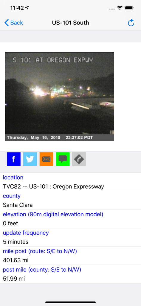
California Road ReportアプリのUS 101、Oregon Expresswayのライブ交通カメラビュー。
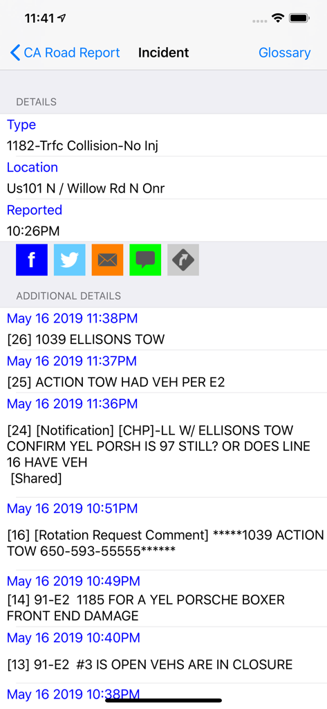
California Road ReportアプリのUS101での交通衝突ログを示す詳細なCHPインシデントレポート
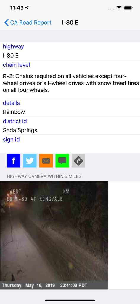
California Road ReportアプリのI-80チェーン規制要件と、雪の高速道路のライブカメラ映像を表示
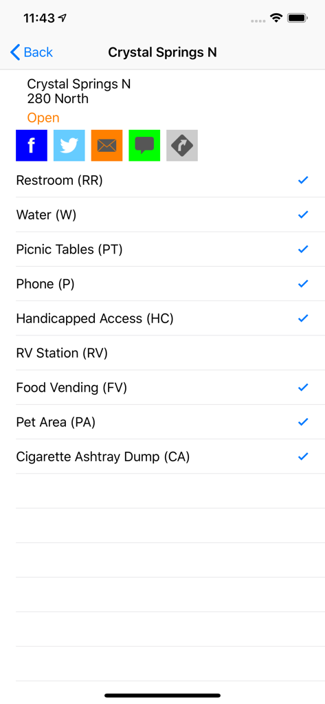
California Road ReportアプリのCrystal Springs North休憩所の設備リスト。トイレやピクニックテーブルなどの利用可能な施設を表示
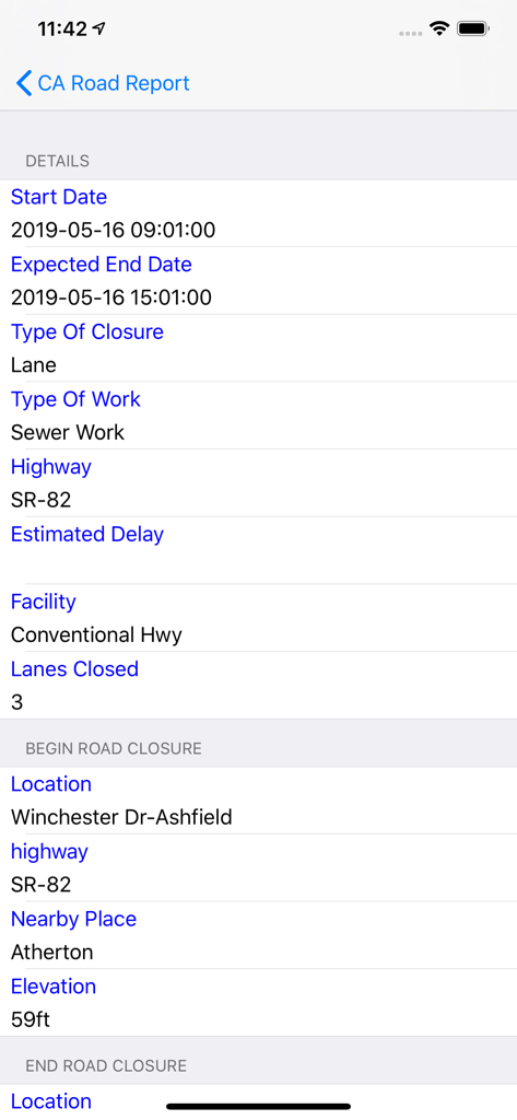
California Road ReportモバイルアプリのSR-82の道路閉鎖に関する詳細情報
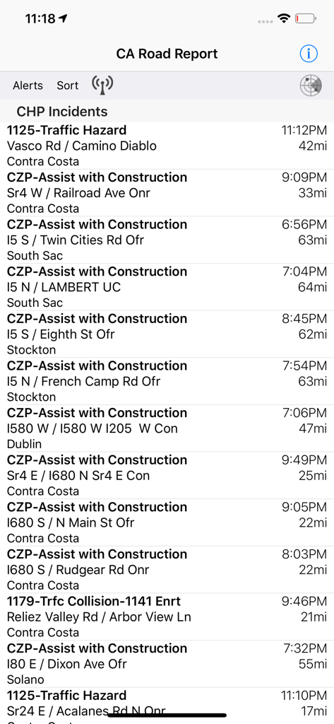
California Road ReportアプリにCHPの交通インシデントと道路の危険箇所のリストを表示
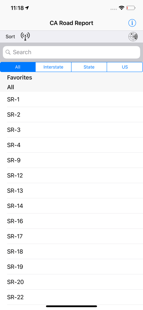
California Road Reportアプリのインターフェースに州間高速道路のリストを表示
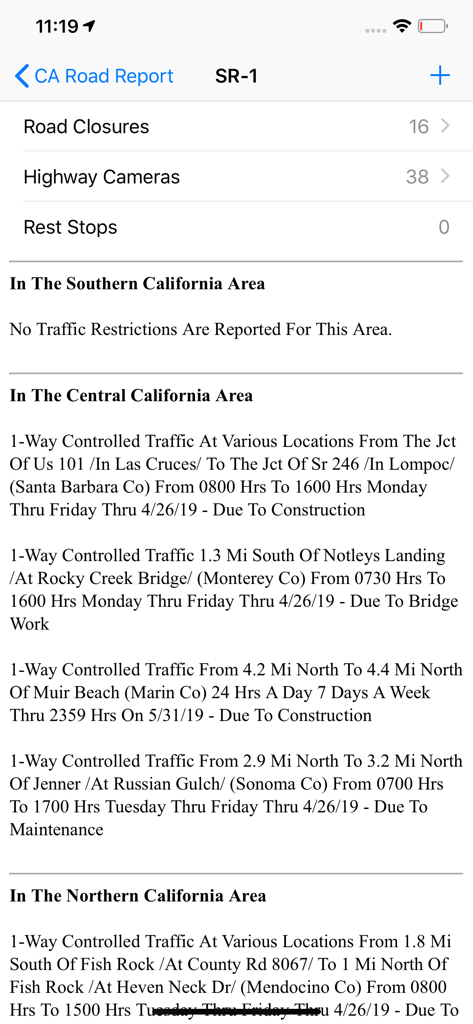
California Road Reportアプリのスクリーンショット。SR-1の交通規制と道路閉鎖を表示
説明
Download
類似アプリ
同じカテゴリのトップランクアプリ

Google Maps
Google LLC

Waze Navigation & Live Traffic
waze

AMap Global
AutoNavi Information Technology Co. Ltd.

百度地图-路线规划,出行必备
Beijing Baidu Netcom Science & Technology Co.,Ltd

Moovit: Bus & Transit Tracker
Moovit App Global LTD

Transit • Subway & Bus Times
9280-0366 Quebec inc.

ParkMobile: Park. Pay. Go.
Parkmobile USA, Inc

腾讯地图-路线规划,导航地铁打车出行
Shenzhen Tencent Computer Systems Company Limited

Île-de-France Mobilités
Ile de France Mobilites
このページはアプリまたはその開発者の公式ページではなく、情報提供および論評を目的として作成された独立した編集出版物です。明示的に別段の記載がない限り、アプリおよびその開発者は、MWM、Apple、Google Play、アプリのパブリッシャー、またはアプリの開発者と提携、承認、後援、認可、またはその他の公式的な関係はなく、このページのいかなる内容も、アプリがMWMのサービスを使用して開発されたことを意味するものではありません。すべての商標、ロゴ、スクリーンショット、その他のコンテンツはそれぞれの所有者の財産です。