このページはアプリまたはその開発者の公式ページではなく、情報提供および論評を目的として作成された独立した編集出版物です。明示的に別段の記載がない限り、アプリおよびその開発者は、MWM、Apple、Google Play、アプリのパブリッシャー、またはアプリの開発者と提携、承認、後援、認可、またはその他の公式的な関係はなく、このページのいかなる内容も、アプリがMWMのサービスを使用して開発されたことを意味するものではありません。すべての商標、ロゴ、スクリーンショット、その他のコンテンツはそれぞれの所有者の財産です。

Geo Elevation: Path Analyzer
インタラクティブな標高プロファイルとプロレベルのデータで地形をマスターしましょう。iPhone、Mac、Vision Proで、次のハイキング、ライディング、冒険を正確に計画しましょう。
ダウンロード
51K+ユーザー評価
評価数
100開発元
カテゴリ
Navigation対応言語
-最新バージョン
1.6サイズ
4.3 MBリリース日
2012年3月24日出発前にあらゆる坂道をマスターしよう
マップデータを実行可能な洞察に変えましょう。挑戦的な頂上への登頂を計画している場合でも、景色の良いサイクリングを計画している場合でも、Geo Elevationは自信を持って探索するために必要な高忠実度の地形プロファイルを提供します。
視覚的なパス分析
わかりにくい等高線にさよならを。ルートを描いて、旅に沿ったすべてのピークと谷を強調するリアルタイムの標高チャートを表示します。
シームレスなApple連携
あなたのライフスタイルに合わせて設計されています。Macで計画し、Vision Proで空間的な3Dで視覚化し、iPhoneで標高データをポケットに入れて持ち運びましょう。
以下のスクリーンショットと説明は、アプリの公式ストアリスティングから直接取得されたものであり、アプリ開発者の所有物です。
アプリストア
スクリーンショット
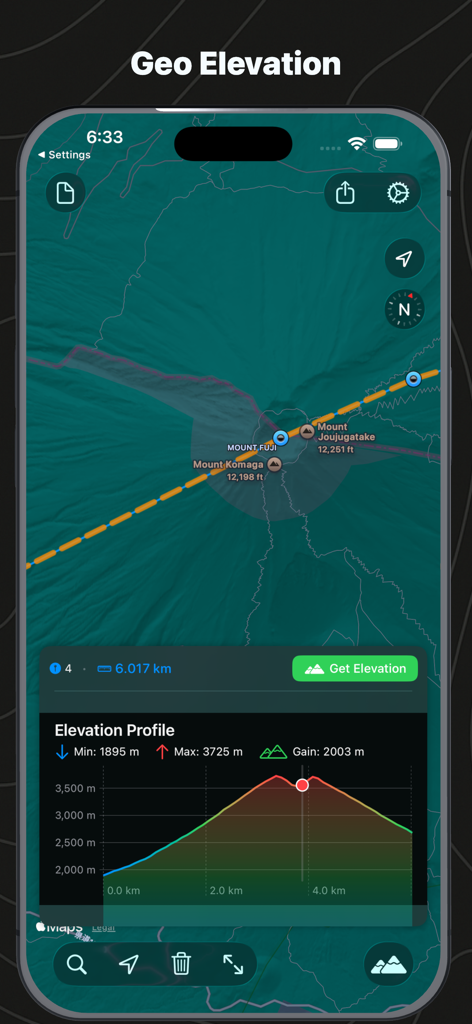
富士山の地図と対応する標高プロファイルチャートを示すインターフェイス
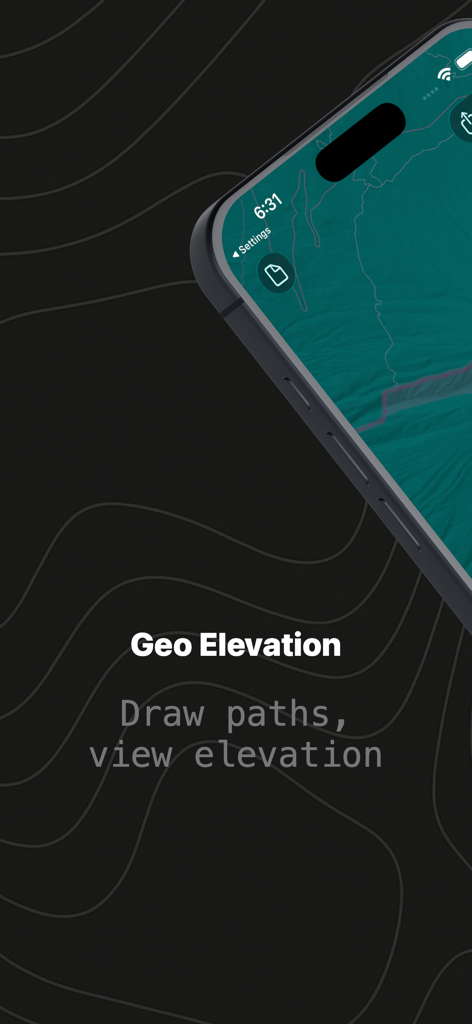
地形の背景に描かれたパスを示すGeo Elevationアプリのスプラッシュスクリーン
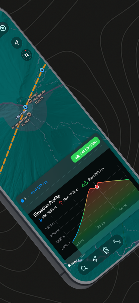
Geo Elevationアプリの富士山の標高プロファイルとマップビュー
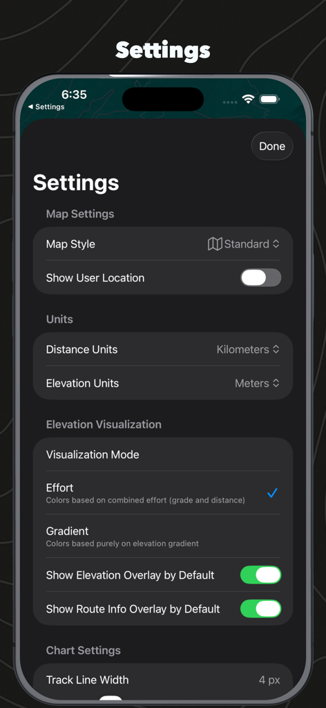
マップスタイルの単位設定と標高視覚化オプションを示すGeo Elevationアプリの設定メニュー
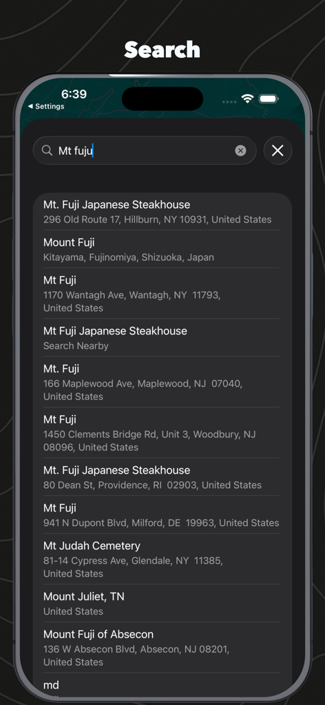
富士山の結果を示すGeo Elevation Path Analyzerの場所検索インターフェイス
説明
Download
類似アプリ
同じカテゴリのトップランクアプリ

Google Maps
Google LLC

Waze Navigation & Live Traffic
waze

AMap Global
AutoNavi Information Technology Co. Ltd.

百度地图-路线规划,出行必备
Beijing Baidu Netcom Science & Technology Co.,Ltd

Moovit: Bus & Transit Tracker
Moovit App Global LTD

Transit • Subway & Bus Times
9280-0366 Quebec inc.

ParkMobile: Park. Pay. Go.
Parkmobile USA, Inc

腾讯地图-路线规划,导航地铁打车出行
Shenzhen Tencent Computer Systems Company Limited

Île-de-France Mobilités
Ile de France Mobilites
このページはアプリまたはその開発者の公式ページではなく、情報提供および論評を目的として作成された独立した編集出版物です。明示的に別段の記載がない限り、アプリおよびその開発者は、MWM、Apple、Google Play、アプリのパブリッシャー、またはアプリの開発者と提携、承認、後援、認可、またはその他の公式的な関係はなく、このページのいかなる内容も、アプリがMWMのサービスを使用して開発されたことを意味するものではありません。すべての商標、ロゴ、スクリーンショット、その他のコンテンツはそれぞれの所有者の財産です。