このページはアプリまたはその開発者の公式ページではなく、情報提供および論評を目的として作成された独立した編集出版物です。明示的に別段の記載がない限り、アプリおよびその開発者は、MWM、Apple、Google Play、アプリのパブリッシャー、またはアプリの開発者と提携、承認、後援、認可、またはその他の公式的な関係はなく、このページのいかなる内容も、アプリがMWMのサービスを使用して開発されたことを意味するものではありません。すべての商標、ロゴ、スクリーンショット、その他のコンテンツはそれぞれの所有者の財産です。

Gpx Viewer-Converter&Tracking
探検家のための必須ツールキット。過酷なトレイル向けに設計されたリアルタイムナビゲーションとオフラインマップで、GPXファイルを簡単にインポート、追跡、変換できます。
ダウンロード
176K+ユーザー評価
評価数
0開発元
カテゴリ
Navigation対応言語
1最新バージョン
3.0.3サイズ
10.6 MBリリース日
2016年5月12日オフグリッドナビゲーションをマスターする
バックカントリーで信頼性の高いパフォーマンスを必要とする探検家のために設計された、GPXデータの閲覧、追跡、変換を行うオールインワンユーティリティ。
シームレスなマップ統合
メール、WhatsApp、iCloudからGPXファイルをインポートし、高解像度マップで次の冒険を可視化します。
オフラインGPS追跡
速度や標高などのライブ統計とともに経路を記録。電波が届かない場所でも道に迷うことはありません。
以下のスクリーンショットと説明は、アプリの公式ストアリスティングから直接取得されたものであり、アプリ開発者の所有物です。
アプリストア
スクリーンショット
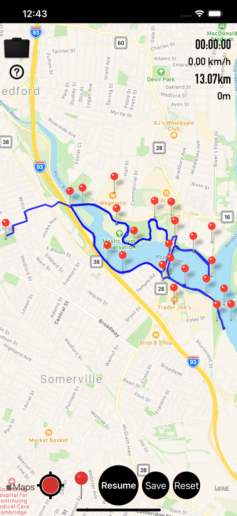
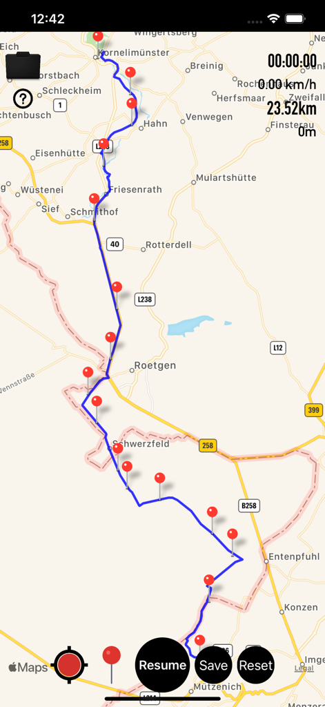
複数の赤いウェイポイントとナビゲーションデータを含む、青いGPSトラックを表示するモバイルマップインターフェース
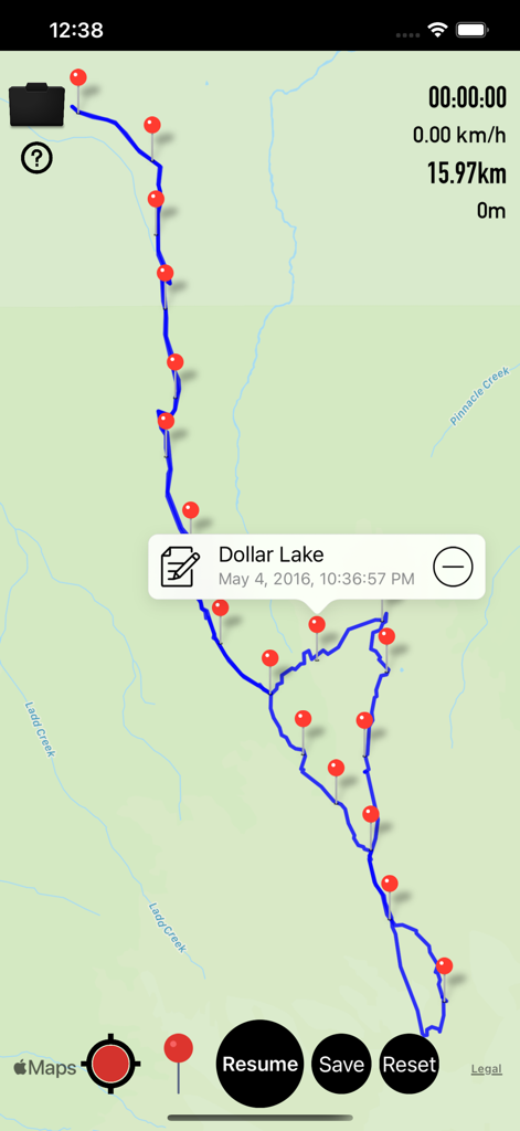
ダラー湖へのハイキングのための、赤いウェイポイントと追跡データを含む緑の地図上の青いGPXトレイルを表示するモバイルアプリインターフェース
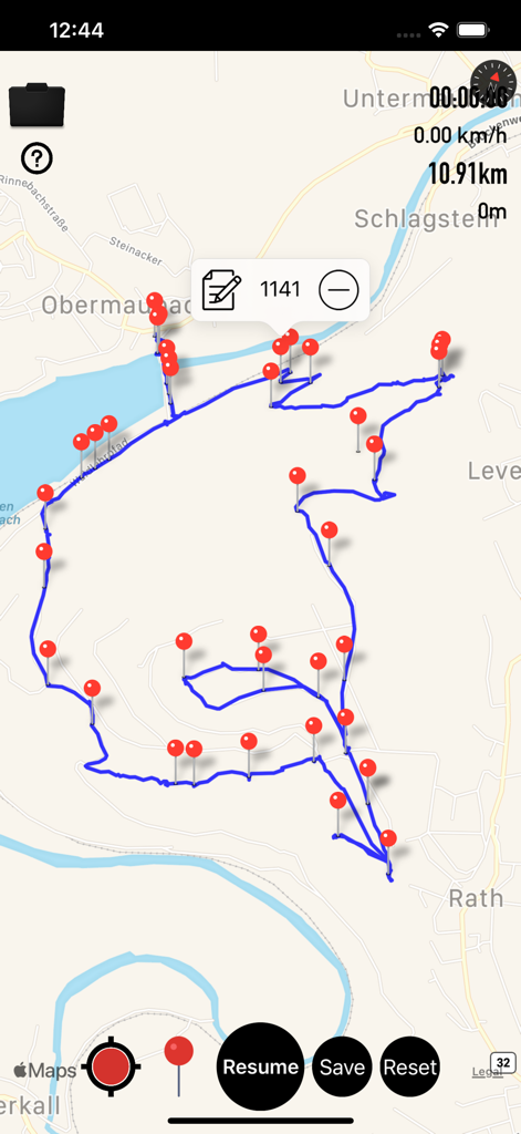
複数の赤いウェイポイントマーカーでトレイルを表示するGPX追跡アプリのマップインターフェース
地図上に赤いウェイポイントと距離統計を含む記録されたトレイルを表示する、Gpx ViewerアプリのGPS追跡画面
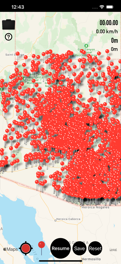
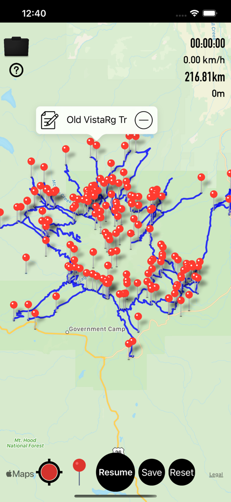
多数の赤いウェイポイントマーカーと追跡コントロールで覆われた地図を表示するGpx Viewerのモバイルアプリインターフェース
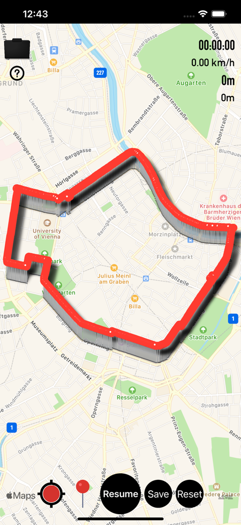
ナビゲーションコントロールを備えた都市地図上に赤い追跡パスを表示するGPX Viewerアプリのインターフェース
複数の赤いウェイポイントと距離データを含む、地図上の青いナビゲーショントラックを表示するモバイル画面
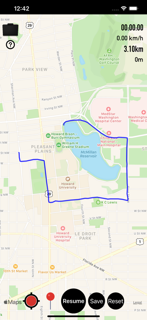
ナビゲーション統計を含むワシントンDCの地図上に青い追跡ルートを表示するGpx Viewerアプリのインターフェース
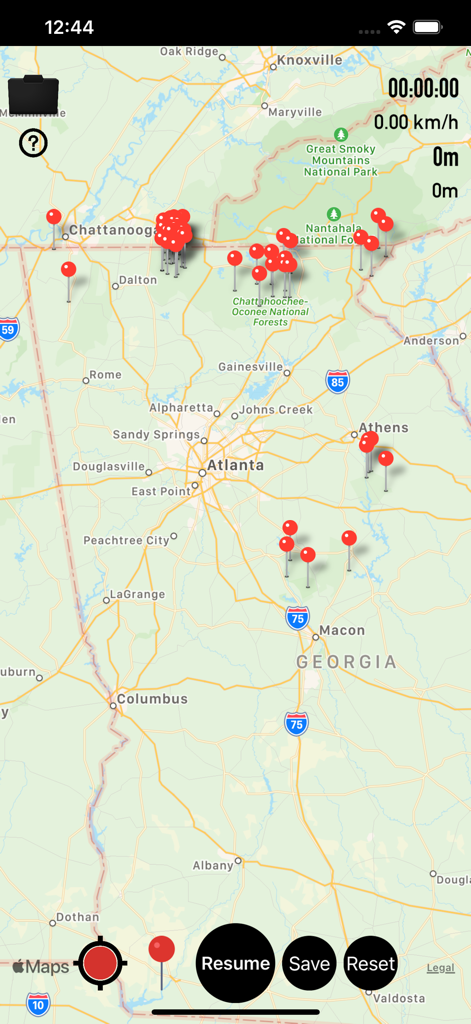
複数の赤いウェイポイントマーカーと追跡統計を含むジョージア州の地図を表示するGpx Viewerアプリのインターフェース
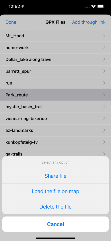
ルートのリストとファイルオプションメニューを表示するGPXファイル管理画面
説明
Download
類似アプリ
同じカテゴリのトップランクアプリ

Google Maps
Google LLC

Waze Navigation & Live Traffic
waze

AMap Global
AutoNavi Information Technology Co. Ltd.

百度地图-路线规划,出行必备
Beijing Baidu Netcom Science & Technology Co.,Ltd

Moovit: Bus & Transit Tracker
Moovit App Global LTD

Transit • Subway & Bus Times
9280-0366 Quebec inc.

ParkMobile: Park. Pay. Go.
Parkmobile USA, Inc

腾讯地图-路线规划,导航地铁打车出行
Shenzhen Tencent Computer Systems Company Limited

Île-de-France Mobilités
Ile de France Mobilites
このページはアプリまたはその開発者の公式ページではなく、情報提供および論評を目的として作成された独立した編集出版物です。明示的に別段の記載がない限り、アプリおよびその開発者は、MWM、Apple、Google Play、アプリのパブリッシャー、またはアプリの開発者と提携、承認、後援、認可、またはその他の公式的な関係はなく、このページのいかなる内容も、アプリがMWMのサービスを使用して開発されたことを意味するものではありません。すべての商標、ロゴ、スクリーンショット、その他のコンテンツはそれぞれの所有者の財産です。