このページはアプリまたはその開発者の公式ページではなく、情報提供および論評を目的として作成された独立した編集出版物です。明示的に別段の記載がない限り、アプリおよびその開発者は、MWM、Apple、Google Play、アプリのパブリッシャー、またはアプリの開発者と提携、承認、後援、認可、またはその他の公式的な関係はなく、このページのいかなる内容も、アプリがMWMのサービスを使用して開発されたことを意味するものではありません。すべての商標、ロゴ、スクリーンショット、その他のコンテンツはそれぞれの所有者の財産です。

Kent Connected
ケントでの究極の移動計画アプリ。ライブ交通情報、標高プロファイル付きサイクリングルートの発見、CO2削減量と消費カロリーのリアルタイム追跡が可能です。
ダウンロード
14K+ユーザー評価
評価数
0開発元
カテゴリ
Navigation対応言語
1最新バージョン
2.7.1サイズ
14.8 MBリリース日
2017年7月23日移動をもっと賢く
Kent Connected は、あなたの健康、お財布、そして環境に利益をもたらす移動手段の選択を可能にします。
ライブ交通追跡
リアルタイムの到着情報で不確実性をなくし、バスや電車の遅延なくスムーズな一日を送りましょう。
健康志向のナビゲーション
標高プロファイル付きの詳細なウォーキング・サイクリングマップを使用して、通勤を通勤ワークアウトに変えましょう。
以下のスクリーンショットと説明は、アプリの公式ストアリスティングから直接取得されたものであり、アプリ開発者の所有物です。
アプリストア
スクリーンショット
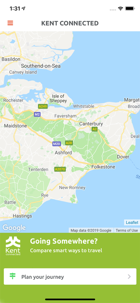
Kent Connected 移動計画アプリ内のケントの地図
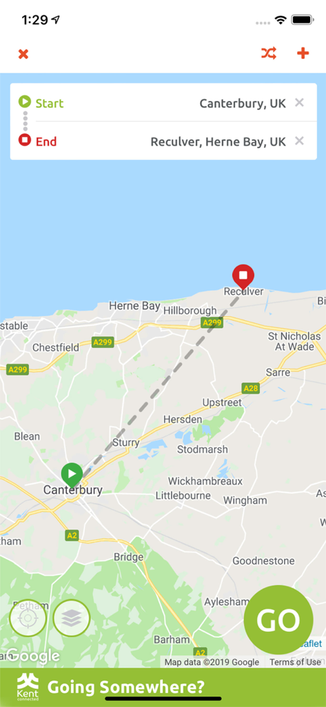
Kent Connected アプリのインターフェイス、カンタベリーからレキュルバーまでの地図上の移動ルートを表示
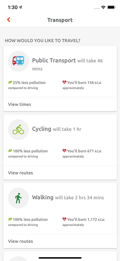
Kent Connected アプリのインターフェイス、さまざまな交通手段の所要時間、環境への影響、消費カロリーを表示
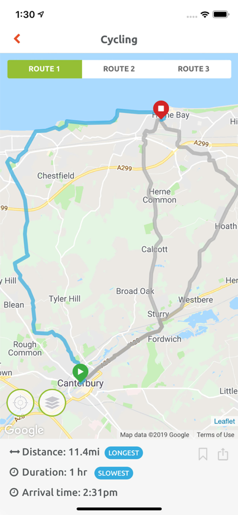
Kent Connected アプリのインターフェイス、カンタベリーからハーネベイまでのサイクリングルートマップ、距離と所要時間を表示
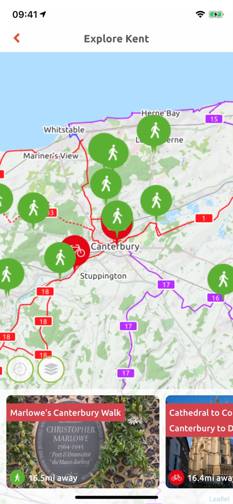
Kent Connected アプリのインタラクティブマップ、ウォーキングとサイクリングのルートを表示
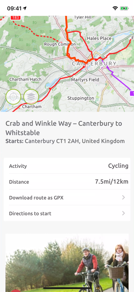
Kent Connected アプリのサイクリングルートマップ、クラブ・アンド・クリンクル・ウェイをカンタベリーからウィットステイブルまで表示
説明
Download
類似アプリ
同じカテゴリのトップランクアプリ

Google Maps
Google LLC

AMap Global
AutoNavi Information Technology Co. Ltd.

Waze Navigation & Live Traffic
waze

百度地图-路线规划,出行必备
Beijing Baidu Netcom Science & Technology Co.,Ltd

Moovit: Bus & Transit Tracker
Moovit App Global LTD

Transit • Subway & Bus Times
9280-0366 Quebec inc.

ParkMobile: Park. Pay. Go.
Parkmobile USA, Inc

腾讯地图-路线规划,导航地铁打车出行
Shenzhen Tencent Computer Systems Company Limited

MapXplorer: Map Radar Navigate
GOLDLAB APPLICATIONS YAZILIM VE BILISIM ANONIM SIRKETI
このページはアプリまたはその開発者の公式ページではなく、情報提供および論評を目的として作成された独立した編集出版物です。明示的に別段の記載がない限り、アプリおよびその開発者は、MWM、Apple、Google Play、アプリのパブリッシャー、またはアプリの開発者と提携、承認、後援、認可、またはその他の公式的な関係はなく、このページのいかなる内容も、アプリがMWMのサービスを使用して開発されたことを意味するものではありません。すべての商標、ロゴ、スクリーンショット、その他のコンテンツはそれぞれの所有者の財産です。