このページはアプリまたはその開発者の公式ページではなく、情報提供および論評を目的として作成された独立した編集出版物です。明示的に別段の記載がない限り、アプリおよびその開発者は、MWM、Apple、Google Play、アプリのパブリッシャー、またはアプリの開発者と提携、承認、後援、認可、またはその他の公式的な関係はなく、このページのいかなる内容も、アプリがMWMのサービスを使用して開発されたことを意味するものではありません。すべての商標、ロゴ、スクリーンショット、その他のコンテンツはそれぞれの所有者の財産です。

OldMapsOnline - History & Maps
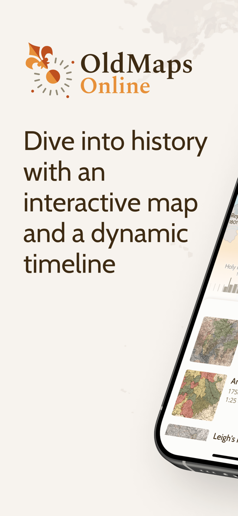
世界で最も権威あるアーカイブから集められた50万枚以上の高解像度地図の宝庫を発見してください。家系を辿り、今昔の風景を比較し、インタラクティブなタイムラインとARオーバーレイを使って、数世紀にわたる地理的進化を探索しましょう。
ダウンロード
98K+ユーザー評価
評価数
400開発元
カテゴリ
Education対応言語
1最新バージョン
2.0サイズ
9.6 MBリリース日
2015年7月20日足元に眠る歴史を解き明かす
OldMapsOnlineは、世界最高峰のアーカイブをあなたの指先に届け、高度なインタラクティブツールを使って忘れ去られた風景を探索することを可能にします。
シームレスな地図オーバーレイ
高解像度の歴史スキャンを現代のGPS地図に重ね合わせることで、近所や史跡がどのように変化したかを視覚化できます。
アーカイブ品質の研究資料
大英図書館やスタンフォード大学などの機関から提供された50万枚以上の地図にアクセスし、家系調査や専門的な研究のための検証済み歴史資料を提供します。
以下のスクリーンショットと説明は、アプリの公式ストアリスティングから直接取得されたものであり、アプリ開発者の所有物です。
アプリストア
スクリーンショット
OldMapsOnlineアプリは、歴史的記録を探索するためのインタラクティブな地図とダイナミックなタイムラインを備えています。
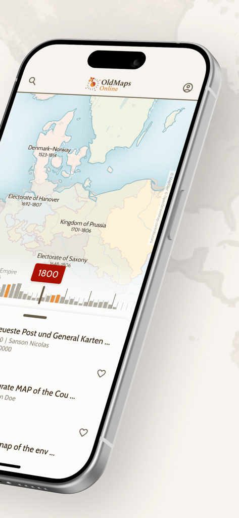
1800年のヨーロッパの歴史地図とタイムラインナビゲーションスライダーを表示するOldMapsOnlineモバイルアプリのインターフェース
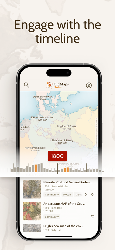
インタラクティブなタイムラインスライダーを使用して、1800年のヨーロッパの歴史地図を表示するOldMapsOnlineアプリのインターフェース。
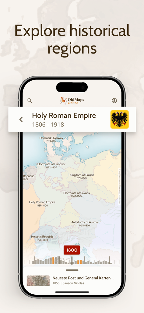
1800年のヨーロッパと神聖ローマ帝国の歴史地図を表示するOldMapsOnlineアプリ。
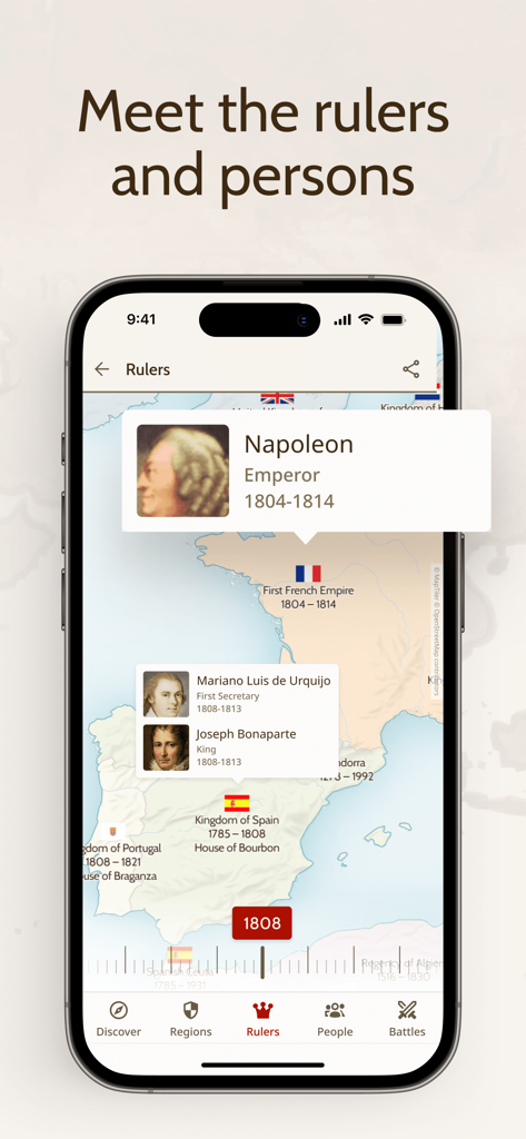
ナポレオンや他の統治者に関する情報を備えた1808年のヨーロッパの歴史地図を表示するOldMapsOnlineアプリのスクリーンショット。
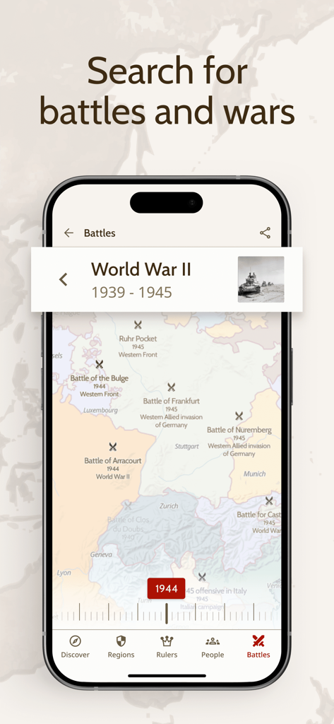
1944年のヨーロッパ地図上に第二次世界大戦の歴史的な戦場の場所がマークされたOldMapsOnlineアプリのインターフェースを表示するスマートフォンの画面。
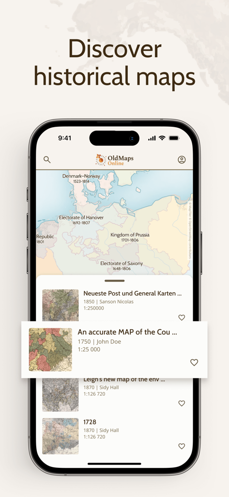
歴史地図とアーカイブ検索結果を表示するOldMapsOnlineアプリのインターフェースを備えたiPhoneの画面
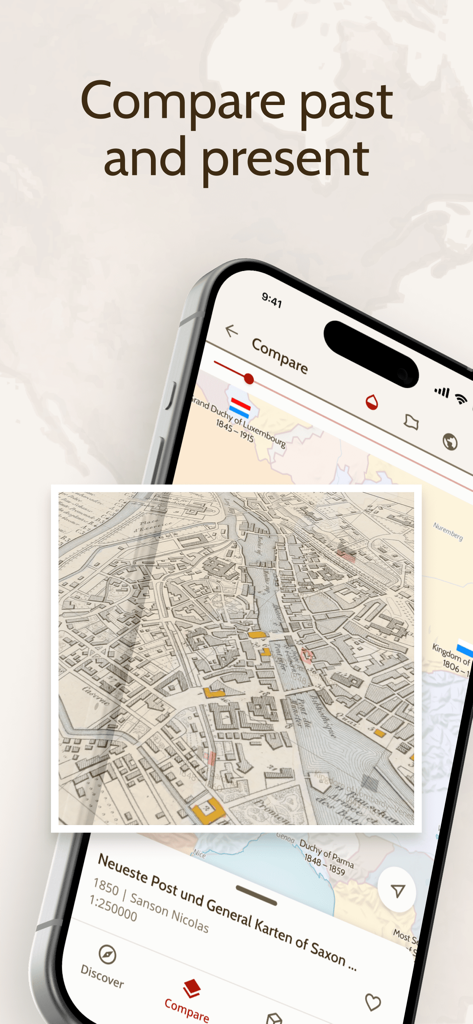
オーバーレイ機能を通じて歴史地図と現代の地図を比較するOldMapsOnlineアプリを表示するスマートフォンの画面
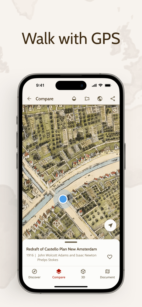
ニューアムステルダムの歴史地図上にリアルタイムのGPS現在地マーカーを表示するOldMapsOnlineアプリ
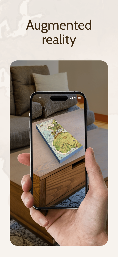
拡張現実(AR)を使用してコーヒーテーブルの上に投影された3D歴史地図を表示するスマートフォンの画面。
説明
Download
類似アプリ
似た機能とユーザー体験を持つアプリ

西窗烛 - 品味中国诗词之美
Beijing xichuang culture media co., Ltd.

全知识-原全历史、艺术哲学文学心理经管学习视频在线平台
Beijing Perfect Knowledge Technology Co. LTD

Teller
LHT HIGGS Producoes Audiovisuais LTDA

Google Arts & Culture
Google LLC

NYMF: Art Nude Female Beauty
Dmytro Dubnytskyi

Art History & Museums - Artify
Hasret Ozkan

History Extra: Unlock the past
Immediate Media Company Limited

LearnArt - Art app
Maria Samoshenkova

Tammo
Emanuele Valeri
このページはアプリまたはその開発者の公式ページではなく、情報提供および論評を目的として作成された独立した編集出版物です。明示的に別段の記載がない限り、アプリおよびその開発者は、MWM、Apple、Google Play、アプリのパブリッシャー、またはアプリの開発者と提携、承認、後援、認可、またはその他の公式的な関係はなく、このページのいかなる内容も、アプリがMWMのサービスを使用して開発されたことを意味するものではありません。すべての商標、ロゴ、スクリーンショット、その他のコンテンツはそれぞれの所有者の財産です。