このページはアプリまたはその開発者の公式ページではなく、情報提供および論評を目的として作成された独立した編集出版物です。明示的に別段の記載がない限り、アプリおよびその開発者は、MWM、Apple、Google Play、アプリのパブリッシャー、またはアプリの開発者と提携、承認、後援、認可、またはその他の公式的な関係はなく、このページのいかなる内容も、アプリがMWMのサービスを使用して開発されたことを意味するものではありません。すべての商標、ロゴ、スクリーンショット、その他のコンテンツはそれぞれの所有者の財産です。

Public transport map Vienna
地下鉄、トラム、バスのすべての路線を簡単に使いこなしましょう。旅行を計画し、近くの駅を見つけ、オフラインでも自信を持ってウィーンを探索してください。
ダウンロード
64K+ユーザー評価
評価数
0開発元
カテゴリ
Navigation対応言語
1最新バージョン
4.3.6サイズ
85.2 MBリリース日
2019年4月28日地元の自信を持ってウィーンを移動
ウィーンの地下鉄、トラム、バスの完全なガイドがあなたのポケットに。データ通信量を気にせず効率を求める旅行者のために設計されました。
100%オフライン対応
SIMカードやWi-Fiなしで街全体を移動できます。高額なローミング料金を節約しながら、完全な交通ネットワークをすぐに利用できます。
高精度ジオロケーション
新しい街で迷子になることはありません。リアルタイムの現在地をマップ上で即座に確認し、最も近い停留所を見つけて、乗り換えをスムーズに行えます。
以下のスクリーンショットと説明は、アプリの公式ストアリスティングから直接取得されたものであり、アプリ開発者の所有物です。
アプリストア
スクリーンショット
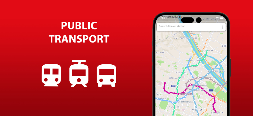
携帯電話の画面に表示されたウィーンの公共交通機関路線のマップ
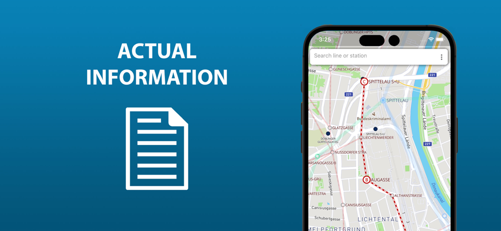
地下鉄、トラム、バス路線が表示されたウィーン公共交通機関マップアプリの画面
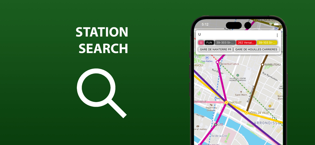
ウィーン公共交通機関マップアプリの駅検索機能
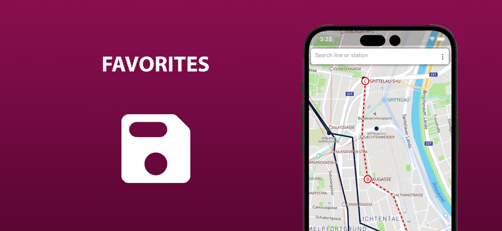
スマートフォンの画面に、保存されたお気に入りのルートが表示されたウィーンの公共交通機関マップ
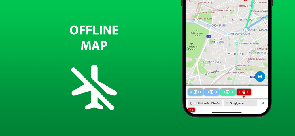
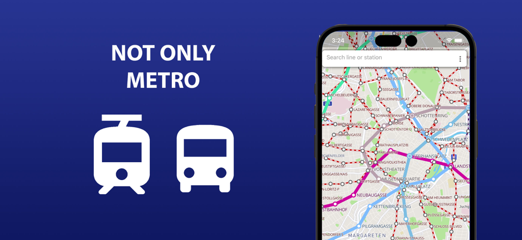
緑色の背景に地下鉄とトラムの路線が表示されたオフラインマップ機能を示すウィーン公共交通機関アプリのスクリーンショット
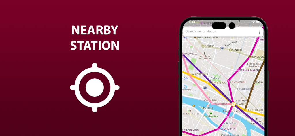
近くの駅の位置機能が表示された交通マップを示すモバイルアプリのインターフェース
ハイライトされたルートと検索バーが表示されたウィーン公共交通機関マップを示すスマートフォンの画面
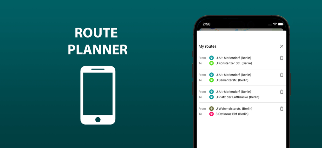
ウィーン公共交通機関アプリの「マイルート」リストが表示された携帯電話の画面
説明
Download
類似アプリ
同じカテゴリのトップランクアプリ

Google Maps
Google LLC

Waze Navigation & Live Traffic
waze

AMap Global
AutoNavi Information Technology Co. Ltd.

百度地图-路线规划,出行必备
Beijing Baidu Netcom Science & Technology Co.,Ltd

Moovit: Bus & Transit Tracker
Moovit App Global LTD

Transit • Subway & Bus Times
9280-0366 Quebec inc.

ParkMobile: Park. Pay. Go.
Parkmobile USA, Inc

腾讯地图-路线规划,导航地铁打车出行
Shenzhen Tencent Computer Systems Company Limited

Île-de-France Mobilités
Ile de France Mobilites
このページはアプリまたはその開発者の公式ページではなく、情報提供および論評を目的として作成された独立した編集出版物です。明示的に別段の記載がない限り、アプリおよびその開発者は、MWM、Apple、Google Play、アプリのパブリッシャー、またはアプリの開発者と提携、承認、後援、認可、またはその他の公式的な関係はなく、このページのいかなる内容も、アプリがMWMのサービスを使用して開発されたことを意味するものではありません。すべての商標、ロゴ、スクリーンショット、その他のコンテンツはそれぞれの所有者の財産です。