このページはアプリまたはその開発者の公式ページではなく、情報提供および論評を目的として作成された独立した編集出版物です。明示的に別段の記載がない限り、アプリおよびその開発者は、MWM、Apple、Google Play、アプリのパブリッシャー、またはアプリの開発者と提携、承認、後援、認可、またはその他の公式的な関係はなく、このページのいかなる内容も、アプリがMWMのサービスを使用して開発されたことを意味するものではありません。すべての商標、ロゴ、スクリーンショット、その他のコンテンツはそれぞれの所有者の財産です。

Trail Explorer
3Dトレイルフライオーバー、リアルタイム天気ダッシュボード、AI駆動のスカウティングで地形をマスターしましょう。ハイキング、クライミング、そしてその間のあらゆるアウトドア活動のために、精密な計画を要求するテクノロジー志向の探検家のために設計されています。
ダウンロード
200ユーザー評価
評価数
0開発元
カテゴリ
Navigation対応言語
1最新バージョン
2.0.2サイズ
67.3 MBリリース日
2022年9月28日あらゆる地形をマスターしよう
3DトレイルプレビューからAI搭載のおすすめまで、ハイキング、クライミング、アウトドア探検のための究極のハイテ ィ ックツールキットを手に入れましょう。
AI搭載ディスカバリー
統合AIに、犬連れに優しい滝から地元の山の最高ギアまで、オーダーメイドのアドベンチャーのおすすめを尋ねましょう。
シネマティックトレイルフライオーバー
出発前に、自宅からルート全体を3Dで視覚化し、標高プロファイルと技術的な地形の課題をマスターしましょう。
以下のスクリーンショットと説明は、アプリの公式ストアリスティングから直接取得されたものであり、アプリ開発者の所有物です。
アプリストア
スクリーンショット
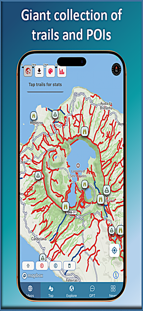
Trail Explorerアプリのマップビュー。セテ・シダーデス湖周辺の膨大なハイキングトレイルと関心のある地点のコレクションが表示されています。
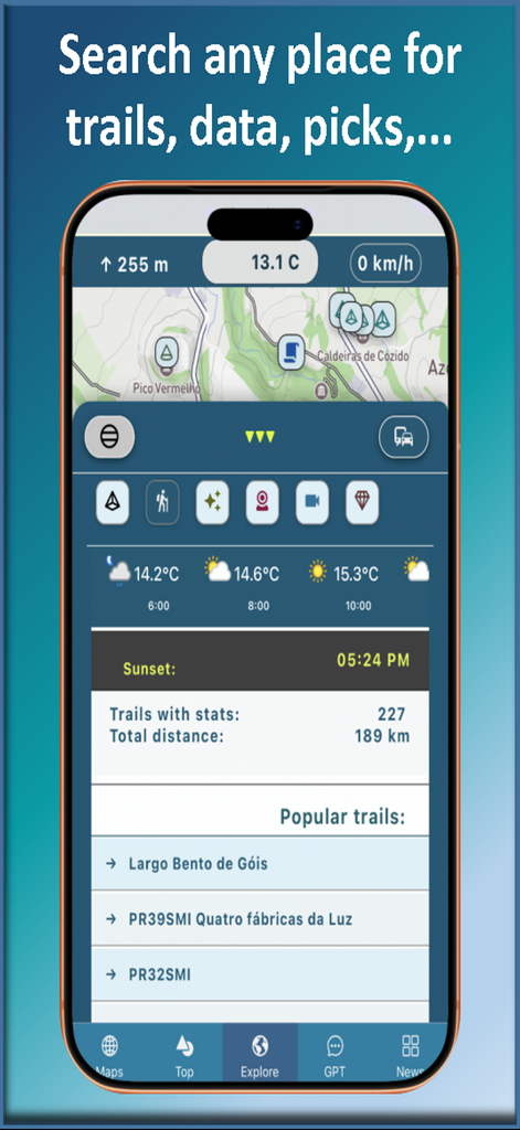
Trail Explorerアプリのインターフェース。ハイキング統計、天気予報、人気のトレイルリストが表示されています。
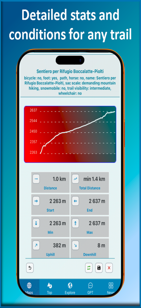
Trail Explorerアプリのインターフェース。標高プロファイルチャートと詳細なハイキング統計が表示されています。
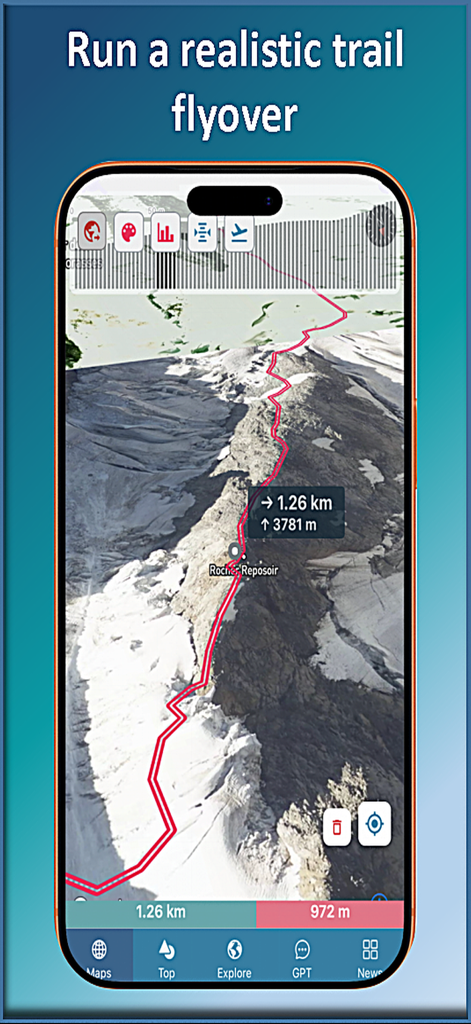
Trail Explorerモバイルアプリ。標高データ付きの山のハイキングトレイルの3D航空フライオーバーを表示しています。
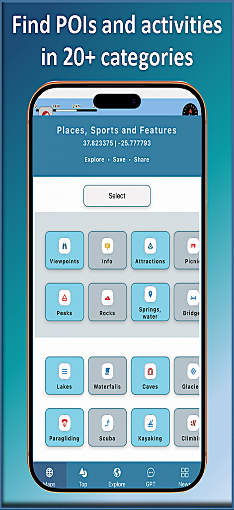
Trail Explorerモバイルアプリのインターフェース。ハイキング、クライミング、カヤックなど、20以上の野外アクティビティと関心のある地点のカテゴリが表示されています。
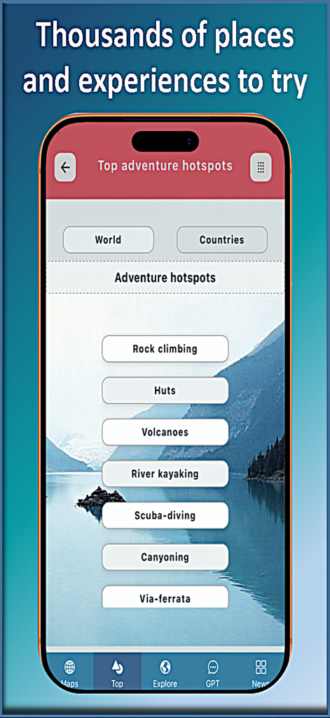
Trail Explorerモバイルアプリ。トップアドベンチャーホットスポットと野外アクティビティカテゴリのリストを表示しています。
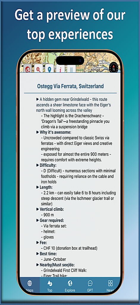
トレイルの難易度や必要なギアなどのトレイル詳細を表示するスマートフォンの画面。Trail Explorerアプリ内。

Trail Explorerモバイルアプリ。マップ、高度、速度、近くの山や滝のリストが表示されたドライブモードダッシュボードを表示しています。
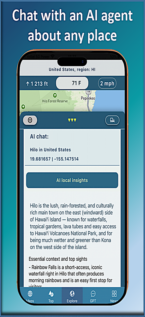
Trail Explorerアプリの画面。AIチャットが、ハワイ島ヒロに関するローカルインサイトとトップ観光スポットを提供しています。
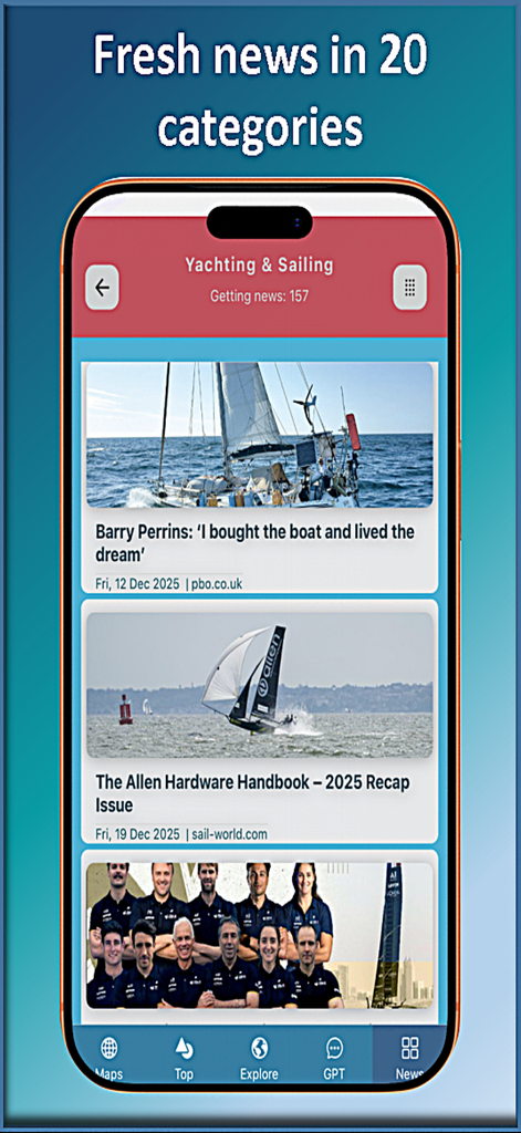
Trail Explorerモバイルアプリのニュースフィード。ヨットとセーリングの記事が表示されています。
説明
Download
類似アプリ
同じカテゴリのトップランクアプリ

Google Maps
Google LLC

Waze Navigation & Live Traffic
waze

AMap Global
AutoNavi Information Technology Co. Ltd.

百度地图-路线规划,出行必备
Beijing Baidu Netcom Science & Technology Co.,Ltd

Moovit: Bus & Transit Tracker
Moovit App Global LTD

Transit • Subway & Bus Times
9280-0366 Quebec inc.

ParkMobile: Park. Pay. Go.
Parkmobile USA, Inc

腾讯地图-路线规划,导航地铁打车出行
Shenzhen Tencent Computer Systems Company Limited

Île-de-France Mobilités
Ile de France Mobilites
このページはアプリまたはその開発者の公式ページではなく、情報提供および論評を目的として作成された独立した編集出版物です。明示的に別段の記載がない限り、アプリおよびその開発者は、MWM、Apple、Google Play、アプリのパブリッシャー、またはアプリの開発者と提携、承認、後援、認可、またはその他の公式的な関係はなく、このページのいかなる内容も、アプリがMWMのサービスを使用して開発されたことを意味するものではありません。すべての商標、ロゴ、スクリーンショット、その他のコンテンツはそれぞれの所有者の財産です。