このページはアプリまたはその開発者の公式ページではなく、情報提供および論評を目的として作成された独立した編集出版物です。明示的に別段の記載がない限り、アプリおよびその開発者は、MWM、Apple、Google Play、アプリのパブリッシャー、またはアプリの開発者と提携、承認、後援、認可、またはその他の公式的な関係はなく、このページのいかなる内容も、アプリがMWMのサービスを使用して開発されたことを意味するものではありません。すべての商標、ロゴ、スクリーンショット、その他のコンテンツはそれぞれの所有者の財産です。

WilCo - Pilot Aviation Weather
デコードされたMETAR、3D空港ビジュアライゼーション、プロフェッショナルグレードの飛行ツールで空を制しましょう。学生、プライベートパイロット、フライトシム愛好家の状況認識能力を高めるためにパイロットによって設計されました。
ダウンロード
31K+ユーザー評価
評価数
0開発元
カテゴリ
Weather対応言語
10最新バージョン
2.6.18サイズ
48.8 MBリリース日
2021年2月3日プロフェッショナルな精度で飛行をマスター
WilCoは、デコードされた気象情報、3D状況認識、および重要なパフォーマンスツールを1つの直感的なデジタルフライトバッグに統合することで、飛行前のルーチンを合理化します。
デコードされた気象情報とNOTAM
手動でのデコードはもう必要ありません。特定の滑走路に対応した、平易な英語のMETAR、TAF、NOTAMレポートに、統合された風ベクトル解析でアクセスできます。
3D空港状況認識
飛行前に目的地を探索しましょう。3Dマップを使用してアプローチと周囲の地形をプレビューし、安全性と自信を高めます。
以下のスクリーンショットと説明は、アプリの公式ストアリスティングから直接取得されたものであり、アプリ開発者の所有物です。
アプリストア
スクリーンショット
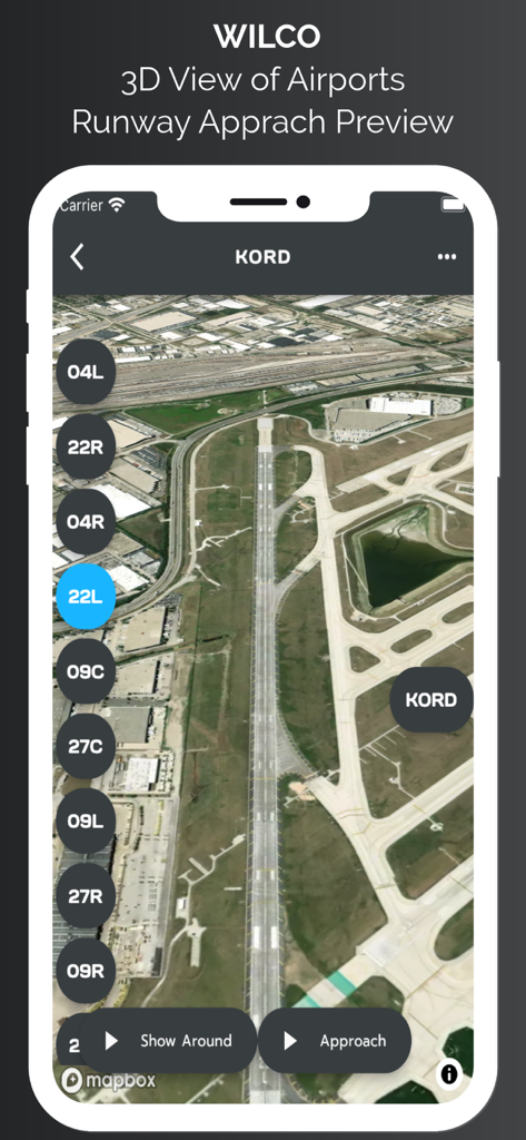
WilCo航空アプリにおけるシカゴ・オヘア空港滑走路進入プレビューの3D衛星ビュー
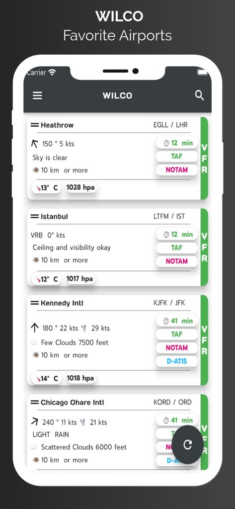
WilCoアプリ画面には、風速、視程、空の状態を含むデコード済み気象データのお気に入り空港リストが表示されています
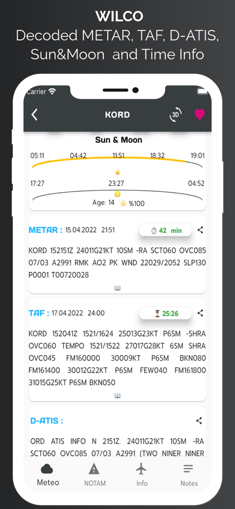
WilCoアプリインターフェースには、シカゴ・オヘア空港のMETAR、TAF、D-ATIS、太陽と月の時刻を含む航空気象データが表示されています
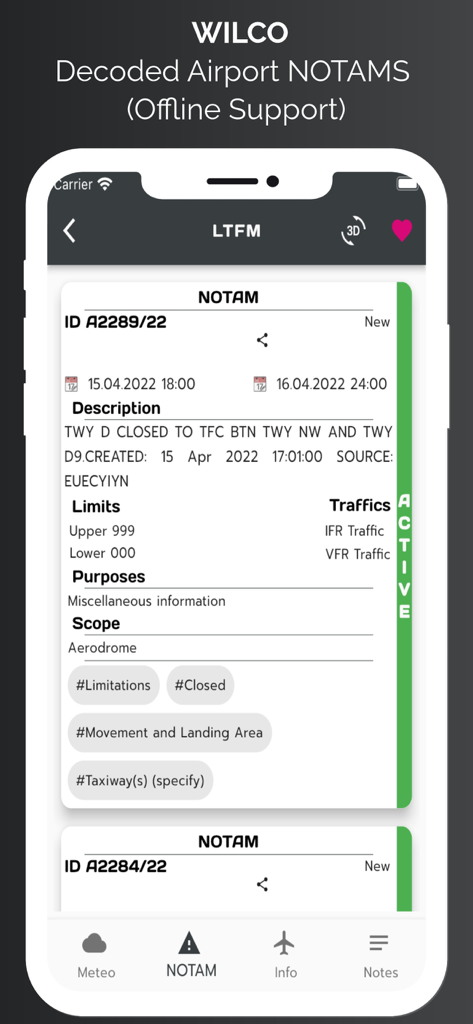
WilCo航空アプリでデコードされた空港NOTAM情報が表示されたスマートフォンスクリーン
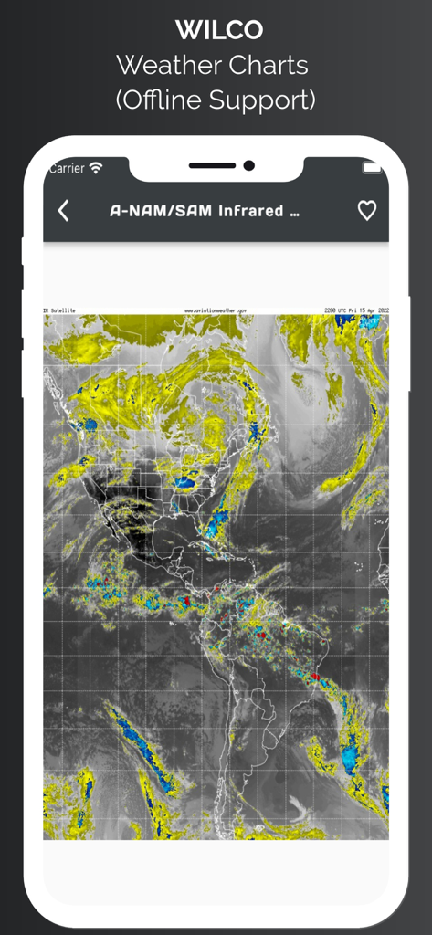
WilCoアプリには、オフラインサポート付きの南北アメリカの赤外線衛星気象図が表示されています
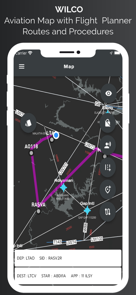
WilCoアプリ航空マップインターフェースには、飛行ルート、ウェイポイント、および手順が表示されています
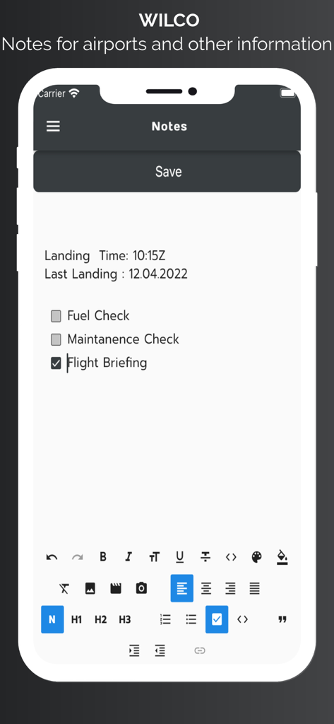
WilCo航空アプリ画面には、空港のパイロットノートと飛行ブリーフィングチェックリストが表示されています
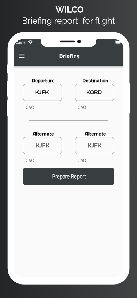
WilCoアプリのブリーフィングレポートページ。パイロットが出発および到着空港のICAOコードを入力します。
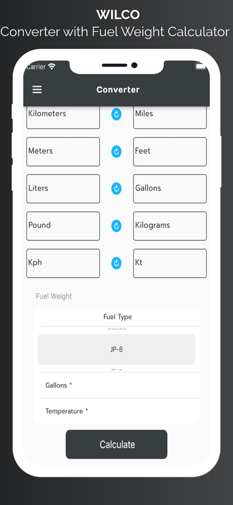
WilCoアプリの単位変換および燃料重量計算機インターフェース、パイロット向け
説明
Download
類似アプリ
同じカテゴリのトップランクアプリ

墨迹天气-MojiWeather
Beijing MojiFengyun Technology Co.,Ltd.

The Weather Channel - Radar
The Weather Channel

Windy.com
Windyty, SE

天气预报-精准15日天气预报
Chongqing Caochen Technology Co., Ltd.

My Aurora Forecast & Alerts
JRustonApps B.V.

AccuWeather: Weather Forecast
AccuWeather International, Inc.

Weather & Radar - Storm radar
WetterOnline - Meteorologische Dienstleistungen GmbH

天气通
Weibo Internet Technology (China) Co.Ltd.

The Thermometer -Digital-
Vida Apps Incorporated
このページはアプリまたはその開発者の公式ページではなく、情報提供および論評を目的として作成された独立した編集出版物です。明示的に別段の記載がない限り、アプリおよびその開発者は、MWM、Apple、Google Play、アプリのパブリッシャー、またはアプリの開発者と提携、承認、後援、認可、またはその他の公式的な関係はなく、このページのいかなる内容も、アプリがMWMのサービスを使用して開発されたことを意味するものではありません。すべての商標、ロゴ、スクリーンショット、その他のコンテンツはそれぞれの所有者の財産です。