이 페이지는 앱이나 개발자의 공식 페이지가 아니며, 정보 제공 및 논평을 목적으로 작성된 독립 편집 간행물입니다. 명시적으로 달리 언급되지 않는 한, 해당 앱이나 개발자는 MWM, Apple, Google Play, 앱 퍼블리셔 또는 앱 개발자와 제휴, 보증, 후원, 승인 또는 공식적으로 연결되어 있지 않으며, 이 페이지의 어떤 내용도 해당 앱이 MWM의 서비스를 사용하여 개발되었음을 의미하지 않습니다. 모든 상표, 로고, 스크린샷 및 기타 콘텐츠는 해당 소유자의 자산입니다.

Drone Forecast DJI Fly Air Map
비행의 추측을 없애세요. 고도별 풍속, 실시간 비행 금지 구역 및 맞춤형 안전 경고에 액세스하여 UAV를 보호하고 매번 완벽한 장면을 포착하세요.
다운로드
22K+사용자 평점
총 평가 수
100개발사
카테고리
Weather지원 언어
32최신 버전
1.2.5크기
30.6 MB출시일
2024년 12월 16일절대적인 자신감으로 비행하세요
전문 UAV 조종사 및 고급 드론 애호가를 위한 종합적인 기상 정보 및 공역 데이터.
고도별 풍속 데이터
돌풍을 추측하지 마세요. 정확한 비행 높이에서의 초현실적인 풍속을 얻어 완벽한 안정성과 장비 안전을 보장하세요.
통합 공역 지도
실시간 비행 금지 구역 오버레이 및 FAA 규정 준수 지역 비행 제한으로 합법적으로 비행하고 막대한 벌금을 피하세요.
다음 스크린샷과 설명은 앱의 공식 스토어 목록에서 직접 가져온 것이며 앱 개발자의 자산입니다.
앱 스토어
스크린샷
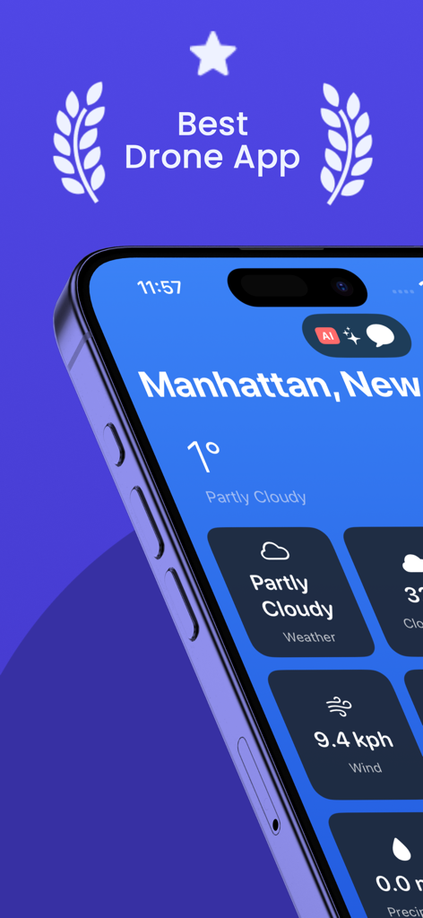
안전한 비행 계획을 위한 풍속 및 날씨를 보여주는 드론 예측 앱 인터페이스.
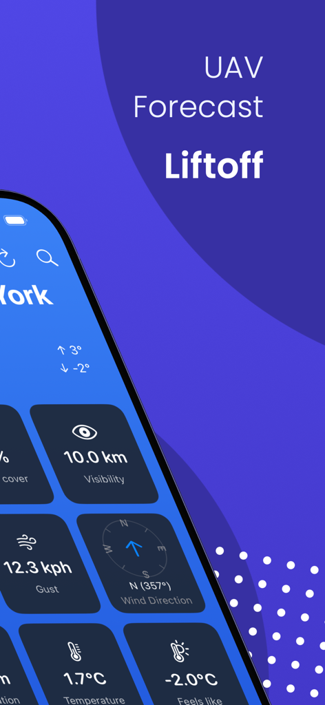
UAV 조종사를 위한 실시간 풍속, 가시성 및 온도를 보여주는 드론 예측 앱
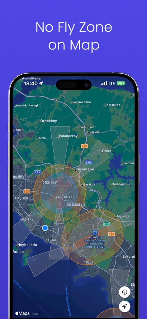
조종사를 위한 대화형 지도에 제한된 공역 및 비행 금지 구역을 표시하는 드론 예측 앱 인터페이스.
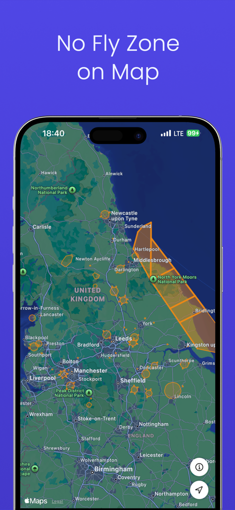
제한된 드론 비행 구역 및 비행 금지 구역을 보여주는 대화형 지도.
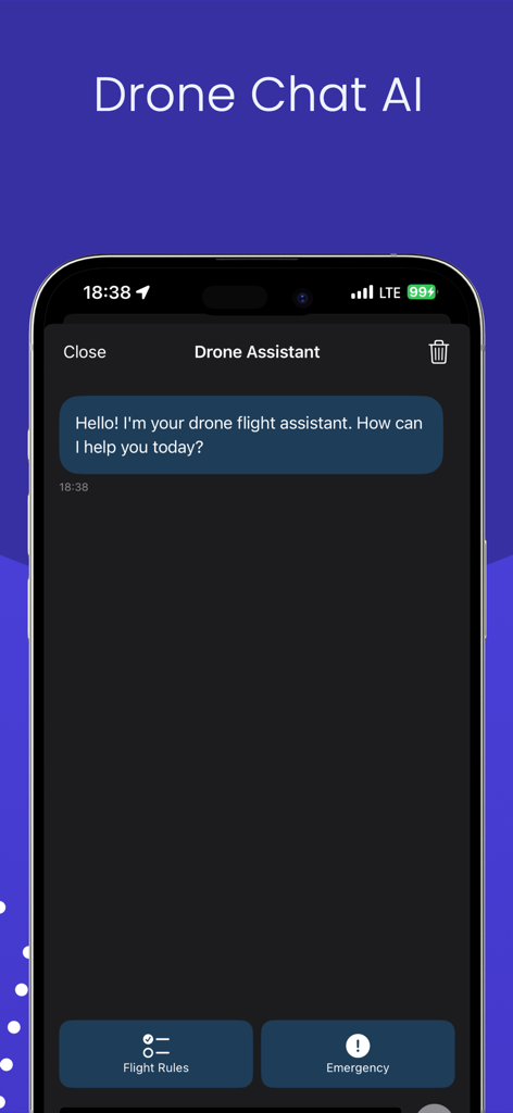
비행 규칙 및 비상 상황에 대한 빠른 링크가 포함된 AI 드론 비행 보조 채팅 인터페이스.
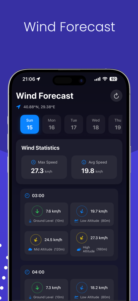
안전한 UAV 운영을 위해 다양한 비행 고도에 걸친 풍속 통계를 표시하는 드론 풍속 예측 대시보드.
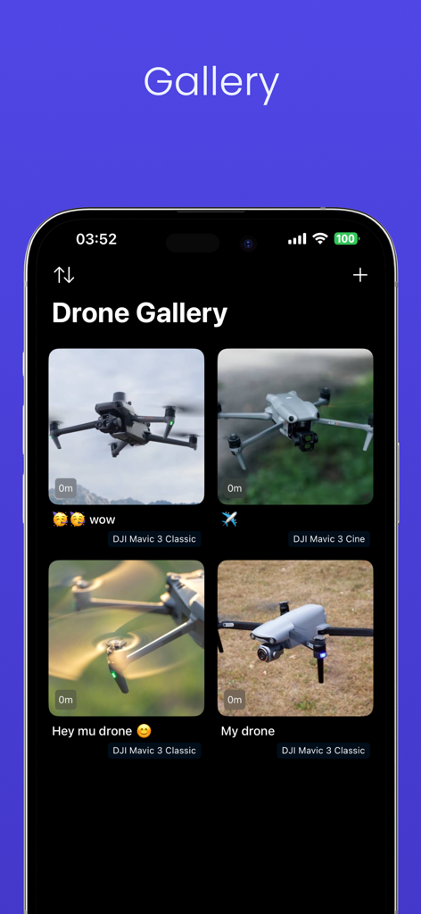
다양한 DJI Mavic 드론 사진이 포함된 드론 갤러리 기능을 보여주는 모바일 인터페이스
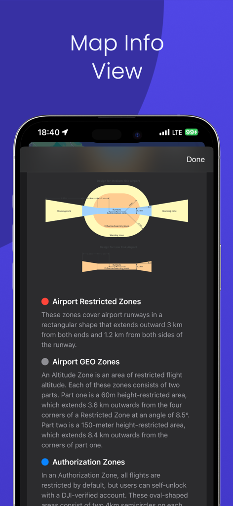
드론 비행 제한 및 공항 GEO 구역 다이어그램을 보여주는 지도 정보 보기
설명
Download
비슷한 앱
같은 카테고리의 상위 앱

墨迹天气-MojiWeather
Beijing MojiFengyun Technology Co.,Ltd.

The Weather Channel - Radar
The Weather Channel

Windy.com
Windyty, SE

天气预报-精准15日天气预报
Chongqing Caochen Technology Co., Ltd.

My Aurora Forecast & Alerts
JRustonApps B.V.

AccuWeather: Weather Forecast
AccuWeather International, Inc.

Weather & Radar - Storm radar
WetterOnline - Meteorologische Dienstleistungen GmbH

天气通
Weibo Internet Technology (China) Co.Ltd.

The Thermometer -Digital-
Vida Apps Incorporated
이 페이지는 앱이나 개발자의 공식 페이지가 아니며, 정보 제공 및 논평을 목적으로 작성된 독립 편집 간행물입니다. 명시적으로 달리 언급되지 않는 한, 해당 앱이나 개발자는 MWM, Apple, Google Play, 앱 퍼블리셔 또는 앱 개발자와 제휴, 보증, 후원, 승인 또는 공식적으로 연결되어 있지 않으며, 이 페이지의 어떤 내용도 해당 앱이 MWM의 서비스를 사용하여 개발되었음을 의미하지 않습니다. 모든 상표, 로고, 스크린샷 및 기타 콘텐츠는 해당 소유자의 자산입니다.