This page is not an official page of the app or its developer, but an independent editorial publication created for informational and commentary purposes. Unless expressly stated otherwise, neither the app nor its developer is affiliated with, endorsed by, sponsored by, authorized by, or otherwise officially connected with MWM, Apple, Google Play, the app publisher, or the app's developer, and nothing on this page implies that the app was developed using MWM's services. Any trademarks, logos, screenshots, and other content remain the property of their respective owners.

ATIS App
Get instant push notifications for airport condition changes. The essential situational awareness tool for pilots, dispatchers, and aviation enthusiasts. No account required.
Downloads
0User Rating
Total Ratings
0Publisher
Category
WeatherLocales
1Latest Version
3.6.2Size
39.0 MBFirst Released
Feb 13, 2020Precision Data for Every Departure
Designed for pilots, dispatchers, and enthusiasts who demand instant, accurate airport information without the clutter.
Real-Time Digital ATIS
View current D-ATIS broadcasts for major US hubs instantly. No more waiting for radio loops or dealing with static.
Instant Push Updates
Stay informed with immediate notifications when the ATIS version changes, ensuring you are always prepared for the latest weather.
The following screenshots and description are sourced directly from the app's official store listing and are the property of the app developer.
App Store
Screenshots
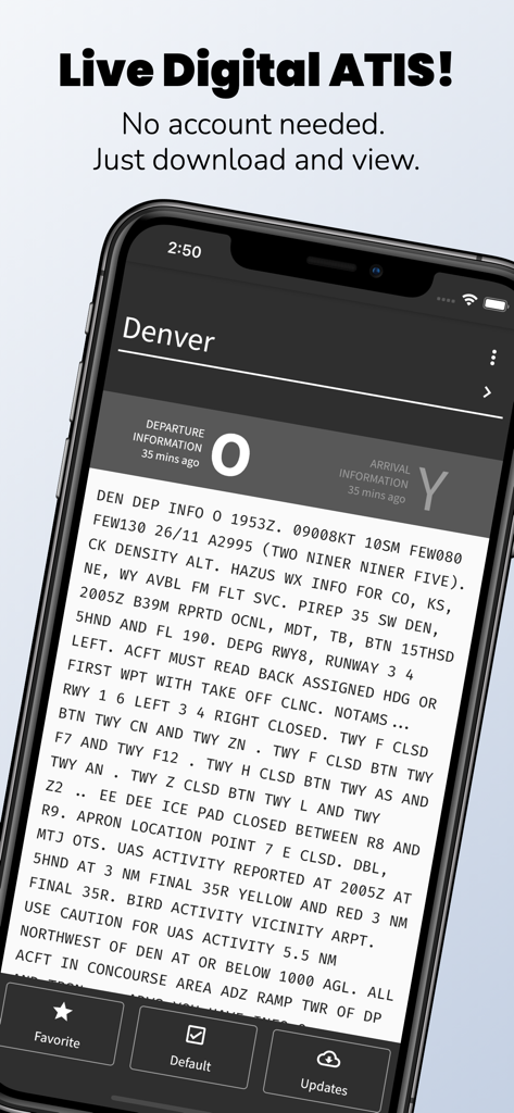
ATIS App interface displaying live Digital ATIS report for Denver airport
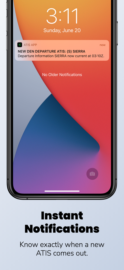
An iPhone lock screen displaying a push notification from the ATIS App with a new departure update for Denver airport.
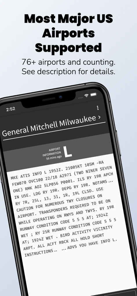
Smartphone displaying technical aviation weather data for General Mitchell Milwaukee airport within the ATIS App.
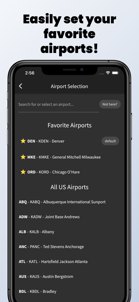
A mobile interface of the ATIS App showing the airport selection screen with favorite airports and a list of US airfields.
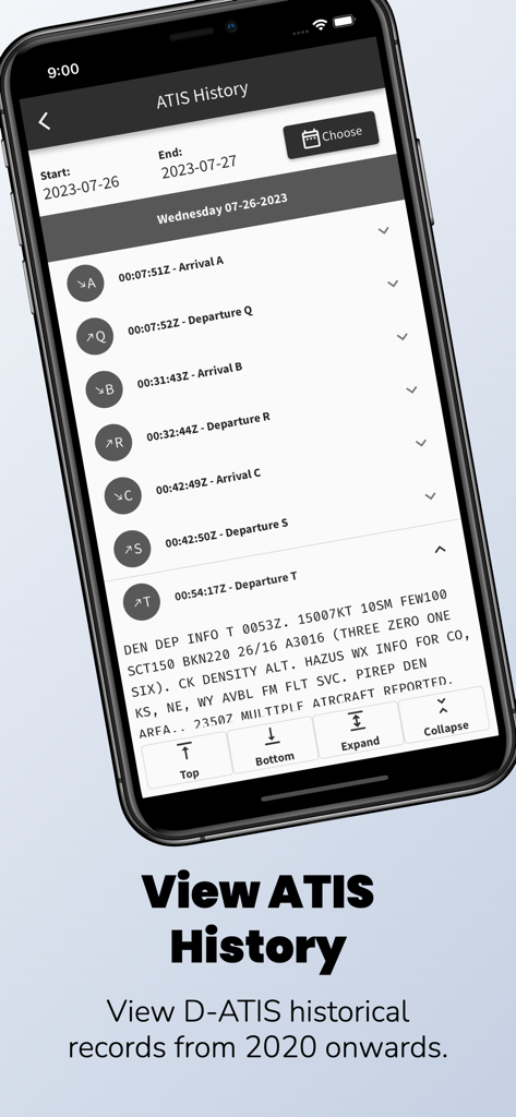
Screenshot of the ATIS App showing a list of historical airport weather and operational records with detailed departure information.
Description
Download
More Like This
Top-ranked apps in the same category

墨迹天气-MojiWeather
Beijing MojiFengyun Technology Co.,Ltd.

The Weather Channel - Radar
The Weather Channel

Windy.com
Windyty, SE

天气预报-精准15日天气预报
Chongqing Caochen Technology Co., Ltd.

My Aurora Forecast & Alerts
JRustonApps B.V.

AccuWeather: Weather Forecast
AccuWeather International, Inc.

Weather & Radar - Storm radar
WetterOnline - Meteorologische Dienstleistungen GmbH

天气通
Weibo Internet Technology (China) Co.Ltd.

The Thermometer -Digital-
Vida Apps Incorporated
This page is not an official page of the app or its developer, but an independent editorial publication created for informational and commentary purposes. Unless expressly stated otherwise, neither the app nor its developer is affiliated with, endorsed by, sponsored by, authorized by, or otherwise officially connected with MWM, Apple, Google Play, the app publisher, or the app's developer, and nothing on this page implies that the app was developed using MWM's services. Any trademarks, logos, screenshots, and other content remain the property of their respective owners.