This page is not an official page of the app or its developer, but an independent editorial publication created for informational and commentary purposes. Unless expressly stated otherwise, neither the app nor its developer is affiliated with, endorsed by, sponsored by, authorized by, or otherwise officially connected with MWM, Apple, Google Play, the app publisher, or the app's developer, and nothing on this page implies that the app was developed using MWM's services. Any trademarks, logos, screenshots, and other content remain the property of their respective owners.

CoGIS Mobile
The powerful, no-nonsense tool for surveyors and environmental specialists. View, edit, and collect field data with full offline autonomy—no cell service or monthly fees required.
Downloads
0User Rating
Total Ratings
0Publisher
Category
BusinessLocales
2Latest Version
6.18Size
69.3 MBFirst Released
Feb 2, 2017Advanced Field Mapping & Data Collection
The high-performance mobile GIS designed for professionals who need reliable data, offline maps, and zero subscription costs.
True Offline Autonomy
Work in remote 'dead zones' without internet. Download maps to your device and use GPS/GLONASS to navigate and edit data with 100% reliability.
Rich Field Data Capture
Go beyond simple points. Use predefined templates to describe objects, record tracks, and attach geo-tagged photos directly to your map features.
The following screenshots and description are sourced directly from the app's official store listing and are the property of the app developer.
App Store
Screenshots
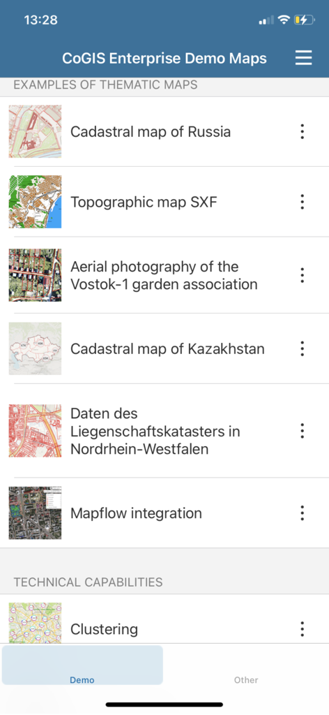
CoGIS Mobile app interface showing a list of thematic and topographic demo maps for professional GIS use
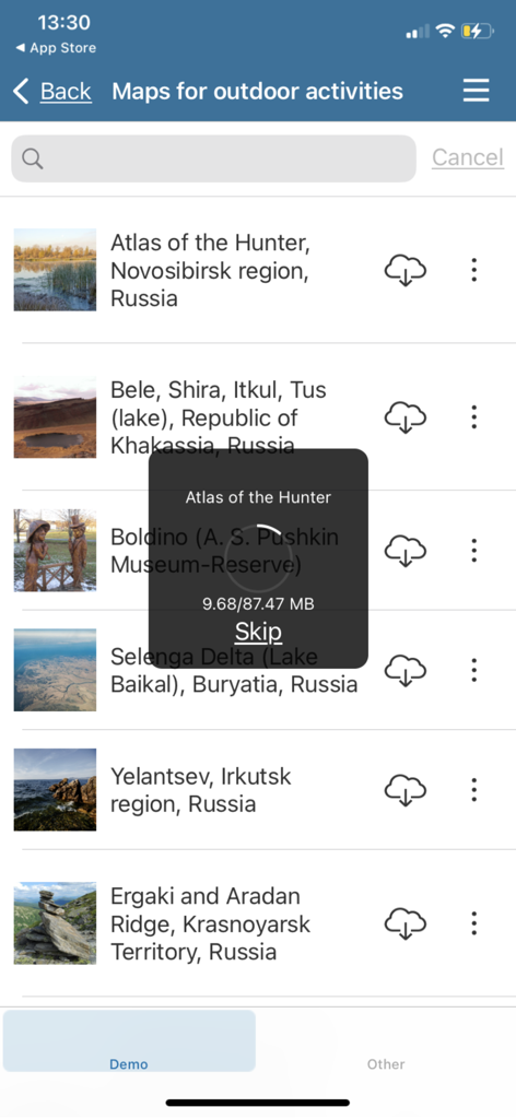
CoGIS Mobile app interface showing a menu for downloading offline maps for field work.
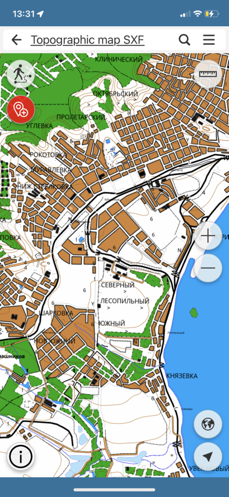
Detailed topographic map view within the CoGIS Mobile app interface
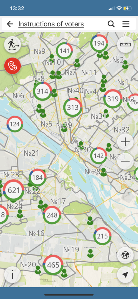
A professional GIS map interface in CoGIS Mobile showing data points and numbered regions for field data collection.
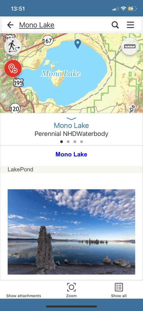
CoGIS Mobile interface showing map identification for Mono Lake with attached field photo
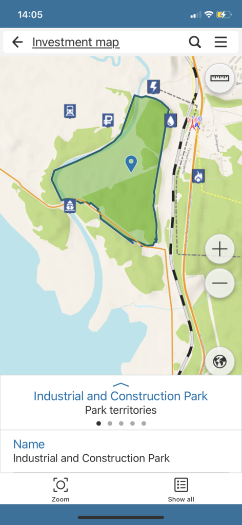
CoGIS Mobile app interface showing an investment map with a highlighted industrial and construction park polygon and various GIS data icons.
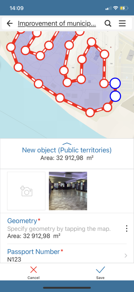
CoGIS Mobile screen showing mapping of public territories with area measurement and photo attachment.
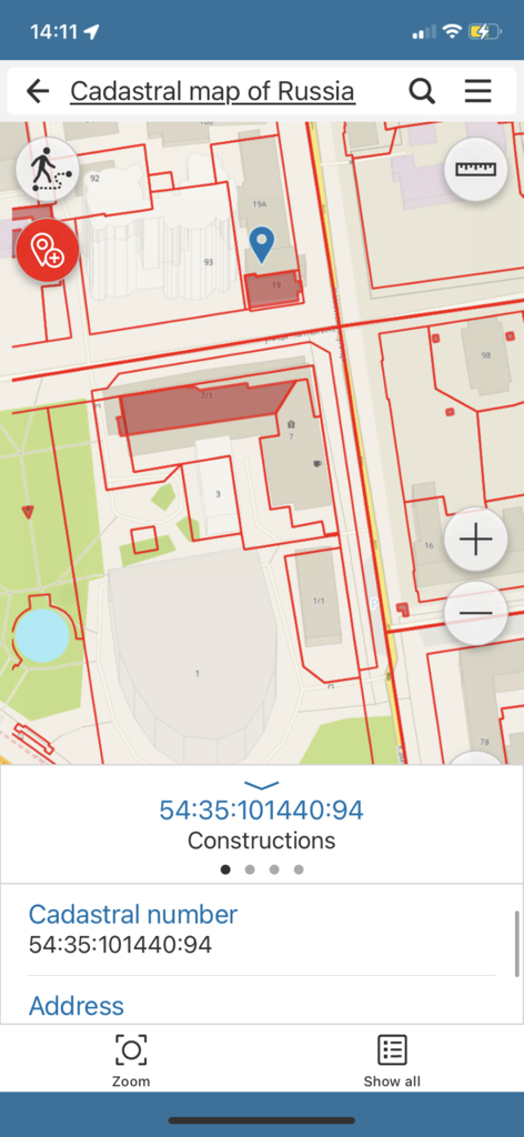
CoGIS Mobile app interface showing a cadastral map with property details
Description
Download
More Like This
Top-ranked apps in the same category

Microsoft Teams
Microsoft Corporation

WhatsApp Business
WhatsApp Inc.

BOSS直聘-招聘求职找工作神器
Beijing China Product Bo Farce Network Technology Co., Ltd.

Zoom Workplace
Zoom Communications, Inc.

Indeed Job Search
Indeed Inc.

LinkedIn: Community & Network
LinkedIn Corporation

WeCom-Work Communication&Tools
Tencent Technology (Shenzhen) Company Limited

DingDing - Redefine Work in AI
DingTalk Technology Co., Ltd.

Adobe Acrobat Reader: Sign PDF
Adobe Inc.
This page is not an official page of the app or its developer, but an independent editorial publication created for informational and commentary purposes. Unless expressly stated otherwise, neither the app nor its developer is affiliated with, endorsed by, sponsored by, authorized by, or otherwise officially connected with MWM, Apple, Google Play, the app publisher, or the app's developer, and nothing on this page implies that the app was developed using MWM's services. Any trademarks, logos, screenshots, and other content remain the property of their respective owners.