This page is not an official page of the app or its developer, but an independent editorial publication created for informational and commentary purposes. Unless expressly stated otherwise, neither the app nor its developer is affiliated with, endorsed by, sponsored by, authorized by, or otherwise officially connected with MWM, Apple, Google Play, the app publisher, or the app's developer, and nothing on this page implies that the app was developed using MWM's services. Any trademarks, logos, screenshots, and other content remain the property of their respective owners.

eVario2 - Variometer Pro
Master the thermals with 9-axis sensor precision, advanced weather emagrams, and 3D flight logging. No external hardware required—just turn on and fly.
Downloads
26K+User Rating
Total Ratings
0Publisher
Category
SportsLocales
3Latest Version
3.8Size
98.5 MBFirst Released
Feb 23, 2022Elevate Your Flight with Professional-Grade Precision
Transform your iPhone into a high-performance flight computer designed for pilots who demand real-time sensor accuracy and advanced data analysis.
Precision Instrument Cockpit
Leverage advanced 9-axis sensor technology for ultra-accurate variometer, altimeter, and ground speed data without the need for external hardware.
Smart Thermal Tracking
Master the air using real-time acoustical and visual feedback designed to help you identify, center, and exploit thermals more efficiently.
The following screenshots and description are sourced directly from the app's official store listing and are the property of the app developer.
App Store
Screenshots
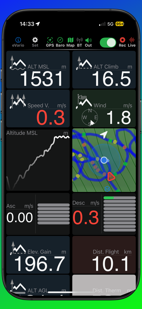
eVario2 app dashboard showing real-time flight data for paragliding including altitude speed and wind metrics
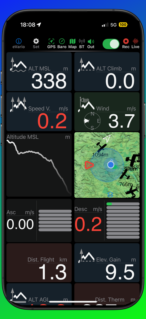
eVario2 flight cockpit dashboard showing real-time altitude, wind speed, and topographic map data
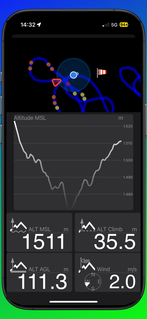
eVario2 flight cockpit showing altitude graph and real-time flight metrics
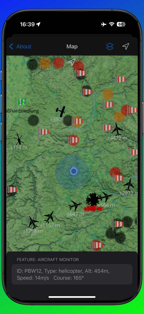
Topographic map view in eVario2 showing real-time aircraft tracking and flight data
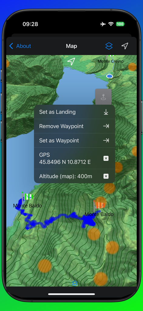
Topographic flight map with waypoint selection menu in eVario2 app
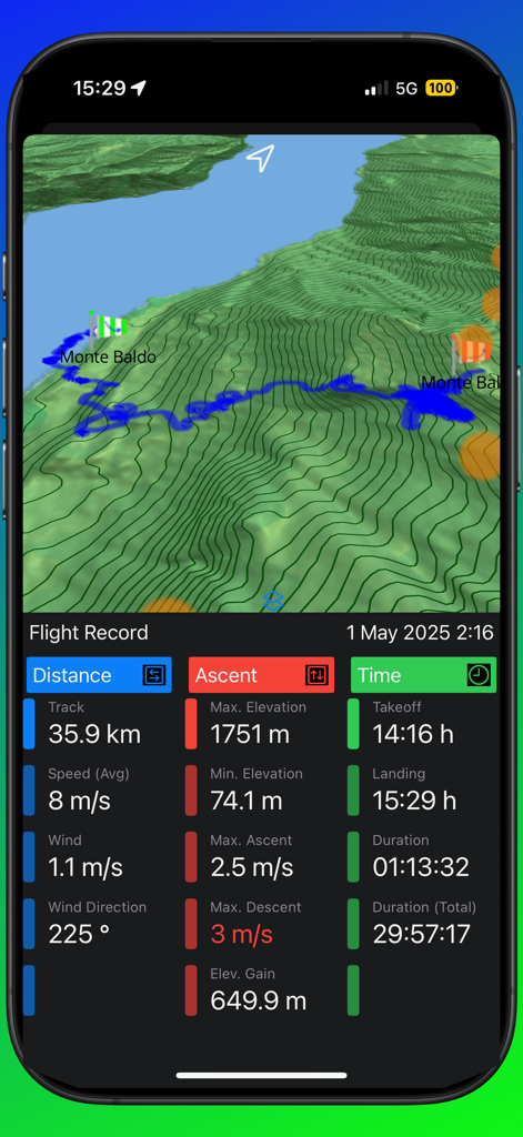
eVario2 app showing a 3D flight track on a topographic map with detailed metrics for distance speed ascent and flight duration
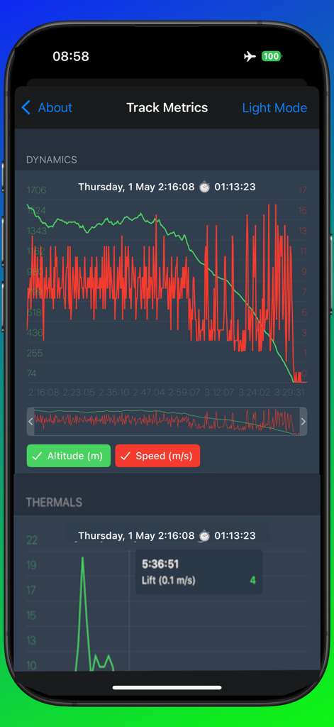
eVario2 app interface displaying detailed flight track metrics including altitude and speed dynamics graphs for aero-sports enthusiasts.
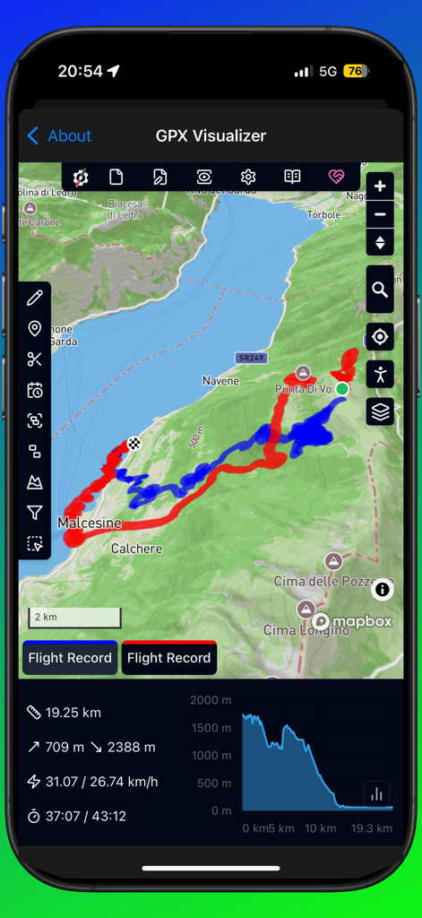
eVario2 app screenshot showing the GPX Visualizer with a paragliding flight track over a mountain map and performance statistics like speed and altitude
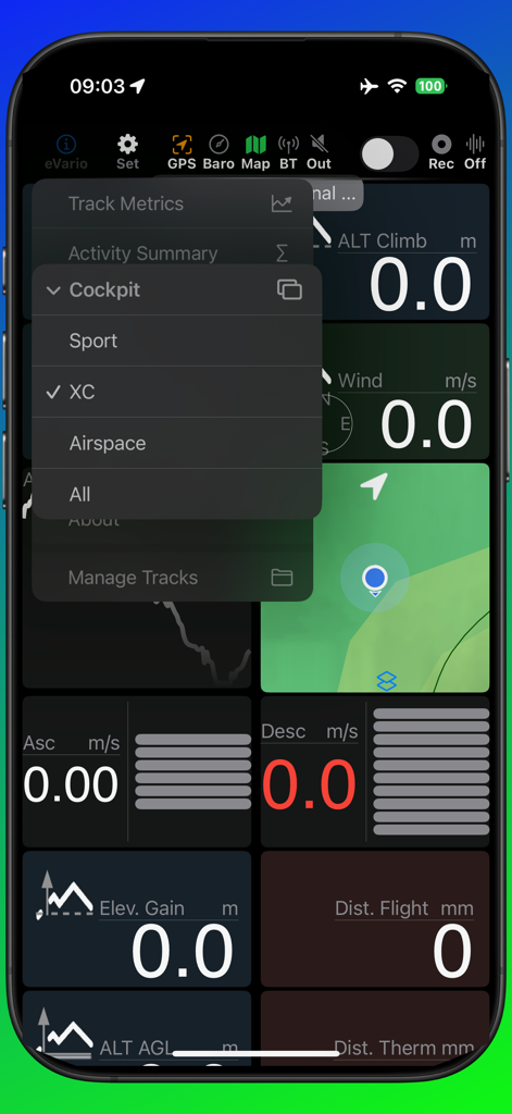
eVario2 flight instrument dashboard showing XC mode menu options.
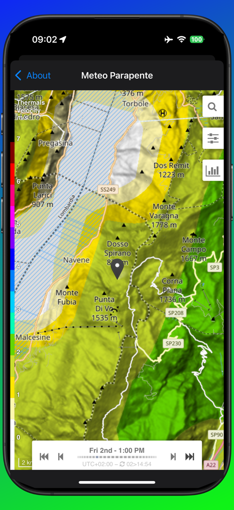
Topographic weather map showing thermal hotspots and velocity for paragliding on eVario2 app
Description
Download
More Like This
Top-ranked apps in the same category

得物 - 得到美好事物
Shanghai Dewu Information Group Co., Ltd.

懂球帝 - 足球篮球体坛数据
Hainan Football-Loving Girl Network Technology Co., Ltd.

Underdog Sports
Underdog Sports, Inc.

虎扑-评分篮球足球游戏影视
Shanghai Kuanghui Network Technology Co., LTD

ESPN: Live Sports & Scores
Disney Electronic Content, Inc.

Flashscore: Live Scores & News
Livesport s.r.o.

Polymarket
Blockratize Inc

DAZN: Stream Live Sports
DAZN Limited

DraftKings Sportsbook & Casino
DRAFTKINGS LLC.
This page is not an official page of the app or its developer, but an independent editorial publication created for informational and commentary purposes. Unless expressly stated otherwise, neither the app nor its developer is affiliated with, endorsed by, sponsored by, authorized by, or otherwise officially connected with MWM, Apple, Google Play, the app publisher, or the app's developer, and nothing on this page implies that the app was developed using MWM's services. Any trademarks, logos, screenshots, and other content remain the property of their respective owners.