This page is not an official page of the app or its developer, but an independent editorial publication created for informational and commentary purposes. Unless expressly stated otherwise, neither the app nor its developer is affiliated with, endorsed by, sponsored by, authorized by, or otherwise officially connected with MWM, Apple, Google Play, the app publisher, or the app's developer, and nothing on this page implies that the app was developed using MWM's services. Any trademarks, logos, screenshots, and other content remain the property of their respective owners.

Marine Weather-Wind Tide Wave
Take command of the water with dual GFS/ECMWF models, high-resolution thermoclines for fishing, and offline route planning designed for offshore reliability.
Downloads
4K+User Rating
Total Ratings
0Publisher
Category
WeatherLocales
8Latest Version
155.0.0Size
48.0 MBFirst Released
Oct 27, 2024Master the Elements with Pro-Grade Marine Data
Equip yourself with high-resolution forecasting, technical overlays, and professional route management tools designed for high-stakes decision-making on the water.
Precision Wind & Wave Forecasting
Visualize 3-day forecasts with 3-hour intervals using GFS and ECMWF models. Toggle between barb notation and map animations to track wind speed, true direction, and swell heights.
Thermal Maps for Fishing Success
Find the edge with color-coded lake temperature maps accurate to 1 degree. Easily identify warm thermoclines and temperature variations to pinpoint exactly where the fish are biting.
The following screenshots and description are sourced directly from the app's official store listing and are the property of the app developer.
App Store
Screenshots
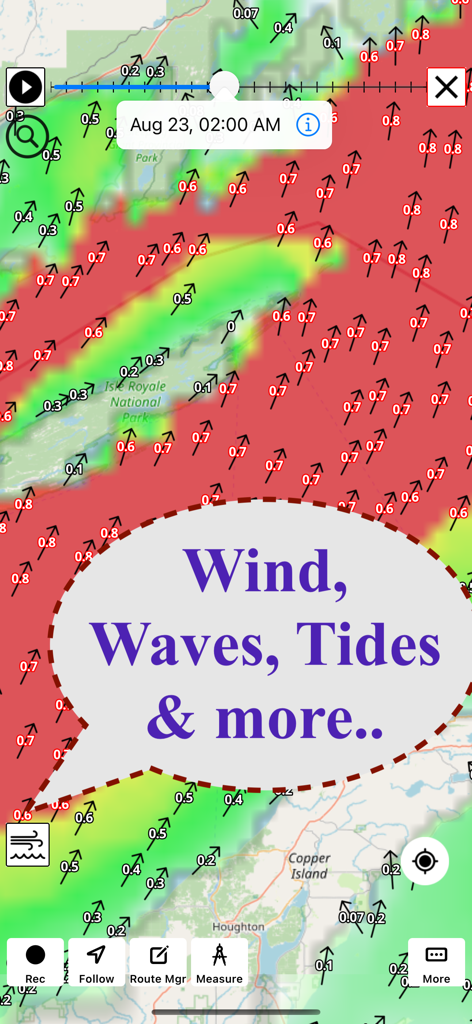
A marine weather app map displaying wind and wave forecasts with directional arrows and color coded intensity overlays
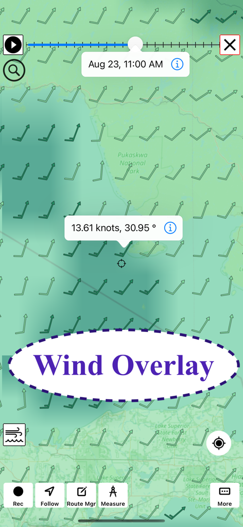
Marine weather map showing wind speed knots and direction barbs forecast
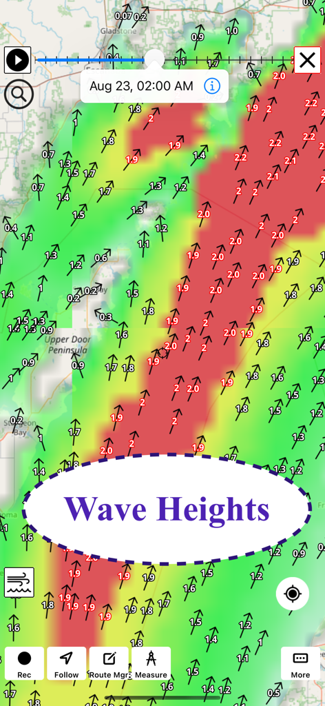
Map interface showing color coded wave height forecasts and directions
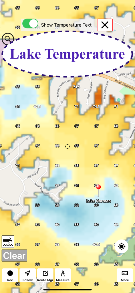
A color coded map displaying water temperatures on Lake Norman for fishing and marine activities
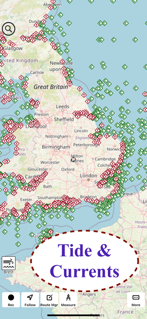
Map view of the UK displaying tide and current markers in the marine weather app
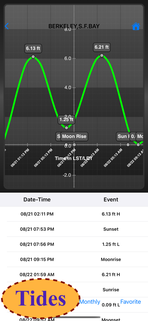
Marine weather app showing tide height chart and event schedule for Berkeley SF Bay
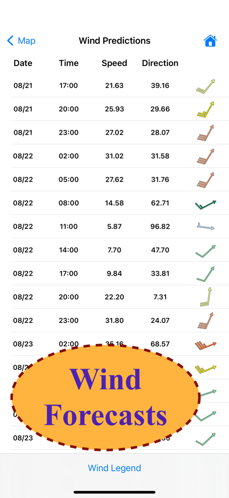
Hourly wind speed and direction predictions table
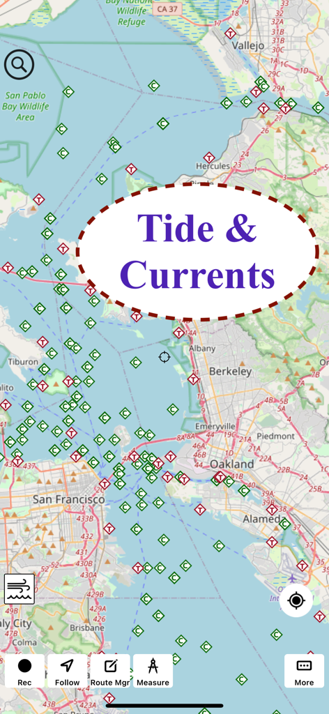
A screenshot of the Marine Weather app interface showing tide and current markers on a map of the San Francisco Bay area.
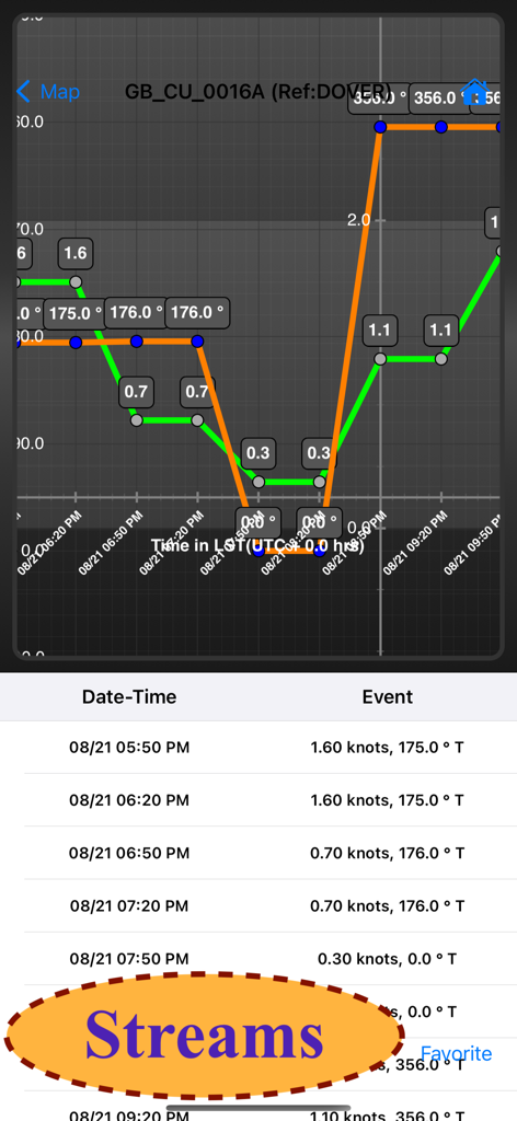
A graph and table displaying marine stream speed and direction data over time.
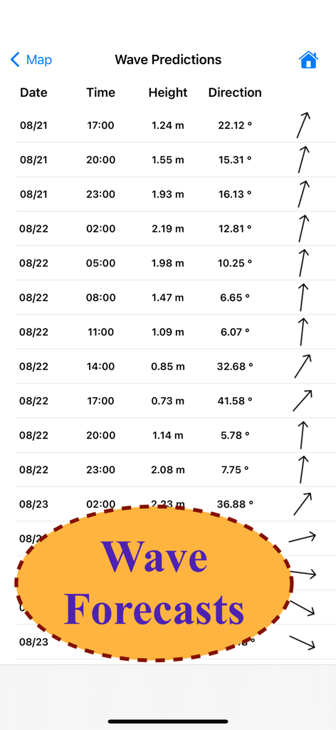
A detailed table showing wave height and direction predictions at three hour intervals in the Marine Weather app
Description
Download
More Like This
Top-ranked apps in the same category

墨迹天气-MojiWeather
Beijing MojiFengyun Technology Co.,Ltd.

The Weather Channel - Radar
The Weather Channel

Windy.com
Windyty, SE

天气预报-精准15日天气预报
Chongqing Caochen Technology Co., Ltd.

My Aurora Forecast & Alerts
JRustonApps B.V.

AccuWeather: Weather Forecast
AccuWeather International, Inc.

Weather & Radar - Storm radar
WetterOnline - Meteorologische Dienstleistungen GmbH

天气通
Weibo Internet Technology (China) Co.Ltd.

The Thermometer -Digital-
Vida Apps Incorporated
This page is not an official page of the app or its developer, but an independent editorial publication created for informational and commentary purposes. Unless expressly stated otherwise, neither the app nor its developer is affiliated with, endorsed by, sponsored by, authorized by, or otherwise officially connected with MWM, Apple, Google Play, the app publisher, or the app's developer, and nothing on this page implies that the app was developed using MWM's services. Any trademarks, logos, screenshots, and other content remain the property of their respective owners.