This page is not an official page of the app or its developer, but an independent editorial publication created for informational and commentary purposes. Unless expressly stated otherwise, neither the app nor its developer is affiliated with, endorsed by, sponsored by, authorized by, or otherwise officially connected with MWM, Apple, Google Play, the app publisher, or the app's developer, and nothing on this page implies that the app was developed using MWM's services. Any trademarks, logos, screenshots, and other content remain the property of their respective owners.

Metes and Bounds Basic
Transform legal deed descriptions into clear visual maps instantly. Whether you are a realtor closing a sale or a genealogist mapping family history, easily calculate area, perimeter, and closing errors using modern or historical measurements.
Downloads
45K+User Rating
Total Ratings
0Publisher
Category
BusinessLocales
1Latest Version
1.9.6Size
4.4 MBFirst Released
Apr 23, 2009Visualize Your Land with Precision
Transform complex legal deed descriptions into professional plat drawings instantly. Whether you're a realtor in the field or a genealogist researching family history, our tools provide the accuracy you need.
Historical Unit Support
Plot old family land maps with ease using specialized measurements like rods, chains, spans, and varas, perfect for genealogy and heritage research.
Smart Tract Auto-Closure
Eliminate the headache of incomplete deeds. Our app calculates area, perimeter, and closing errors, with the ability to auto-complete tracts automatically.
The following screenshots and description are sourced directly from the app's official store listing and are the property of the app developer.
App Store
Screenshots
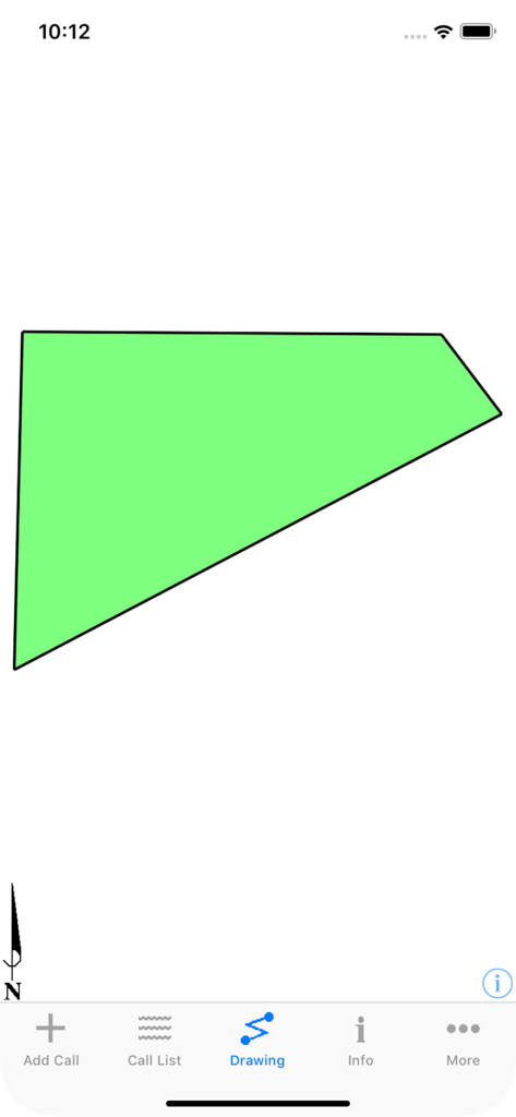
A green land tract polygon drawn in the Metes and Bounds Basic app interface.
Description
Download
More Like This
Top-ranked apps in the same category

Microsoft Teams
Microsoft Corporation

Zoom Workplace
Zoom Communications, Inc.

WhatsApp Business
WhatsApp Inc.

Indeed Job Search
Indeed Inc.

LinkedIn: Network & Job Finder
LinkedIn Corporation

Adobe Acrobat Reader: Sign PDF
Adobe Inc.

WeCom-Work Communication&Tools
Tencent Technology (Shenzhen) Company Limited

BOSS直聘-招聘求职找工作神器
Beijing China Product Bo Farce Network Technology Co., Ltd.

DingDing - Redefine Work in AI
DingTalk Technology Co., Ltd.
This page is not an official page of the app or its developer, but an independent editorial publication created for informational and commentary purposes. Unless expressly stated otherwise, neither the app nor its developer is affiliated with, endorsed by, sponsored by, authorized by, or otherwise officially connected with MWM, Apple, Google Play, the app publisher, or the app's developer, and nothing on this page implies that the app was developed using MWM's services. Any trademarks, logos, screenshots, and other content remain the property of their respective owners.