This page is not an official page of the app or its developer, but an independent editorial publication created for informational and commentary purposes. Unless expressly stated otherwise, neither the app nor its developer is affiliated with, endorsed by, sponsored by, authorized by, or otherwise officially connected with MWM, Apple, Google Play, the app publisher, or the app's developer, and nothing on this page implies that the app was developed using MWM's services. Any trademarks, logos, screenshots, and other content remain the property of their respective owners.

OldMapsOnline - History & Maps
Discover a treasure trove of 500,000+ high-resolution maps from the world's most prestigious archives. Trace your heritage, compare then-and-now landscapes, and explore centuries of geographical evolution with our interactive timeline and AR overlays.
Downloads
98K+User Rating
Total Ratings
400Publisher
Category
EducationLocales
1Latest Version
2.0Size
9.6 MBFirst Released
Jul 20, 2015Uncover the History Beneath Your Feet
OldMapsOnline brings the world's greatest archives to your fingertips, letting you explore forgotten landscapes with advanced interactive tools.
Seamless Map Overlays
Visualize change by layering high-resolution historical scans over modern-day GPS maps to see how your neighborhood or heritage site has evolved.
Archive-Quality Research
Access over 500,000 maps from institutions like the British Library and Stanford, providing verified historical context for genealogy and professional study.
The following screenshots and description are sourced directly from the app's official store listing and are the property of the app developer.
App Store
Screenshots
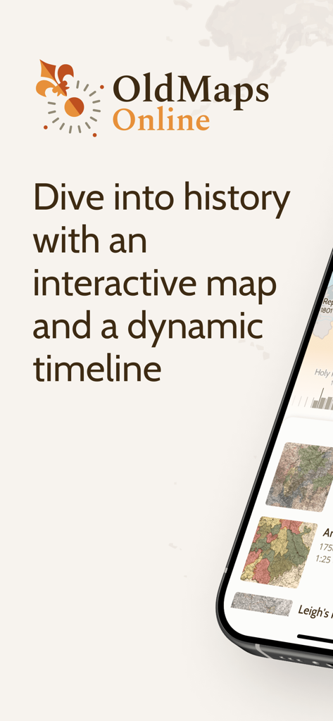
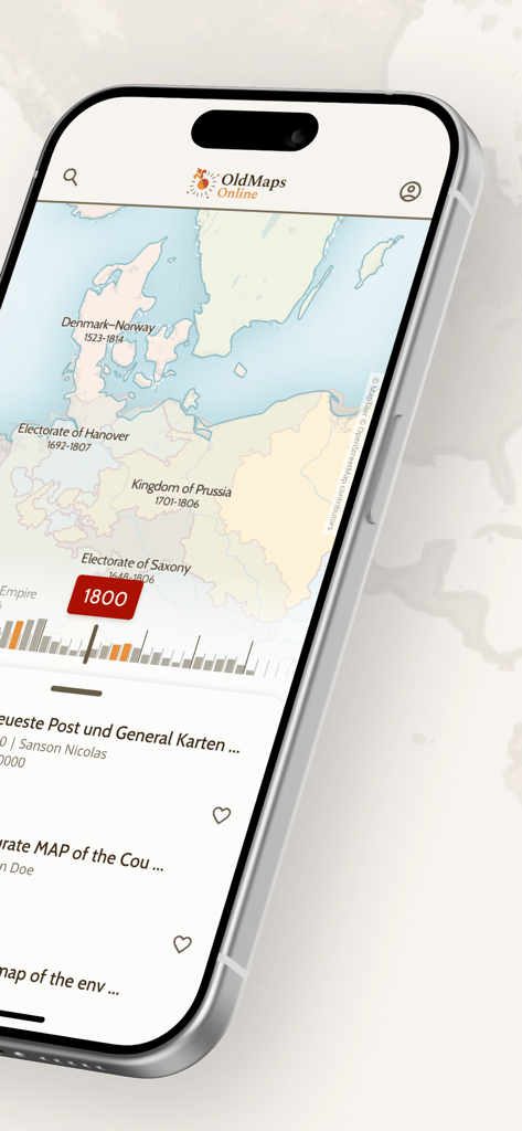
The OldMapsOnline app features an interactive map and a dynamic timeline for exploring historical records.
OldMapsOnline mobile app interface showing a historical map of Europe from the year 1800 with a timeline navigation slider
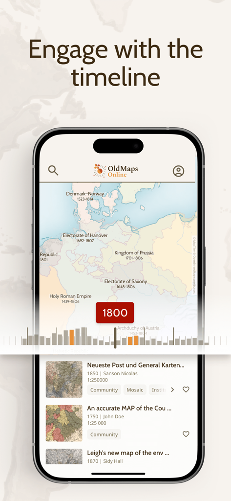
OldMapsOnline app interface showing a historical map of Europe from 1800 with an interactive timeline slider.
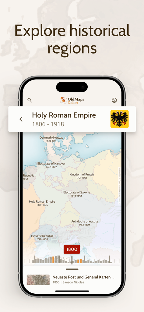
OldMapsOnline app displaying a historical map of Europe and the Holy Roman Empire in the year 1800.
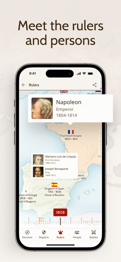
Screenshot of the OldMapsOnline app displaying a historical map of Europe in 1808 with information about Napoleon and other rulers.
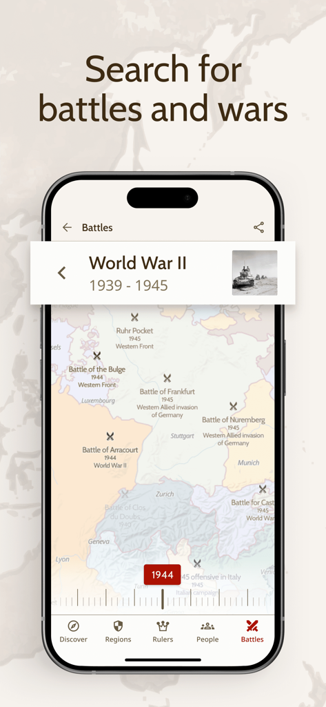
A smartphone screen showing the OldMapsOnline app interface with historical World War II battle locations marked on a 1944 map of Europe.
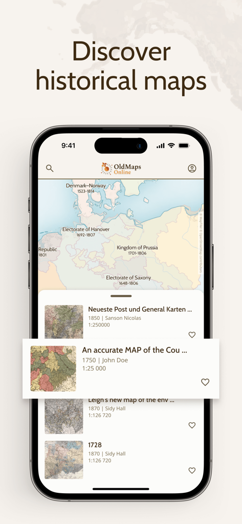
iPhone screen displaying the OldMapsOnline app interface with a historical map and archival search results
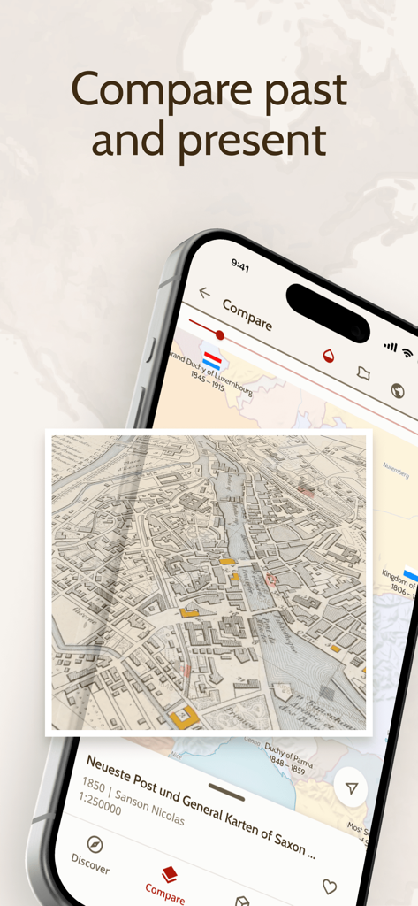
Smartphone screen displaying the OldMapsOnline app comparing historical and modern maps through an overlay feature
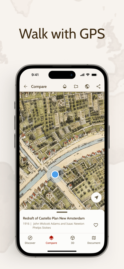
OldMapsOnline app showing a real-time GPS location marker on a historical map of New Amsterdam

A smartphone screen displaying a 3D historical map projected onto a coffee table using augmented reality.
Description
Download
More Like This
Apps with similar features and user experience

西窗烛 - 品味中国诗词之美
Beijing xichuang culture media co., Ltd.

全知识-原全历史、艺术哲学文学心理经管学习视频在线平台
Beijing Perfect Knowledge Technology Co. LTD

Teller
LHT HIGGS Producoes Audiovisuais LTDA

Google Arts & Culture
Google LLC

NYMF: Art Nude Female Beauty
Dmytro Dubnytskyi

Art History & Museums - Artify
Hasret Ozkan

History Extra: Unlock the past
Immediate Media Company Limited

LearnArt - Art app
Maria Samoshenkova

Tammo
Emanuele Valeri
This page is not an official page of the app or its developer, but an independent editorial publication created for informational and commentary purposes. Unless expressly stated otherwise, neither the app nor its developer is affiliated with, endorsed by, sponsored by, authorized by, or otherwise officially connected with MWM, Apple, Google Play, the app publisher, or the app's developer, and nothing on this page implies that the app was developed using MWM's services. Any trademarks, logos, screenshots, and other content remain the property of their respective owners.