This page is not an official page of the app or its developer, but an independent editorial publication created for informational and commentary purposes. Unless expressly stated otherwise, neither the app nor its developer is affiliated with, endorsed by, sponsored by, authorized by, or otherwise officially connected with MWM, Apple, Google Play, the app publisher, or the app's developer, and nothing on this page implies that the app was developed using MWM's services. Any trademarks, logos, screenshots, and other content remain the property of their respective owners.

Peakbagger
Sync your climbs with Peakbagger.com and ListsOfJohn.com, navigate with offline topographic maps, and track your progress through official peak lists with data-driven precision.
Downloads
400User Rating
Total Ratings
0Publisher
Category
Health & FitnessLocales
11Latest Version
1.63.2Size
140.6 MBFirst Released
Oct 17, 2015Conquer Your Lists and Master the Mountains
From real-time GPS tracking to global peak databases, access the professional-grade tools built for serious climbers and list-completers.
Integrated Peak Databases
Sync instantly with Peakbagger.com and ListsOfJohn to manage your progress on official peak lists and track every successful summit.
Reliable Off-Grid Navigation
Venture deeper with confidence using downloadable topographic maps, elevation profiles, and offline GPS tracking designed for the remote backcountry.
The following screenshots and description are sourced directly from the app's official store listing and are the property of the app developer.
App Store
Screenshots
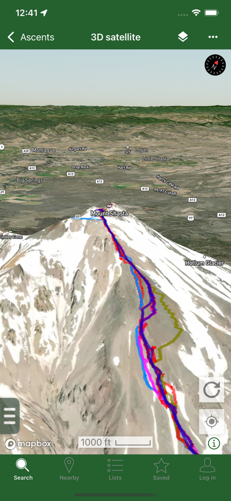
A 3D satellite map view of Mount Shasta in the Peakbagger app displaying multiple colored GPS tracks for mountain ascents.
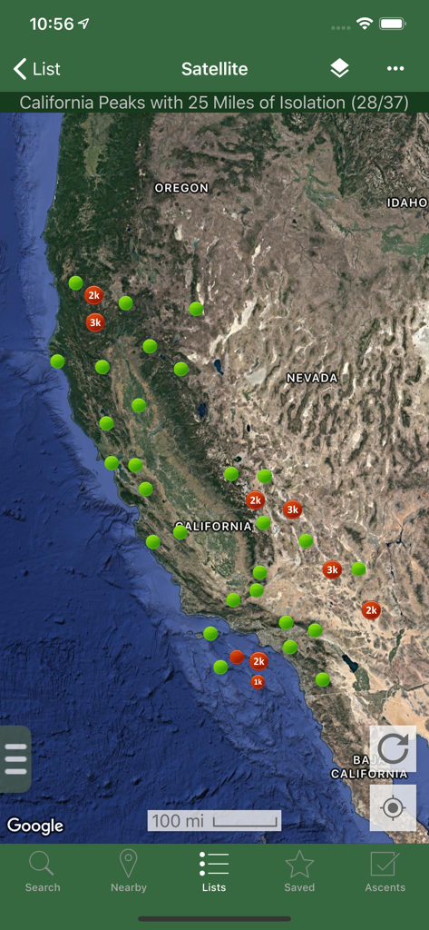
Satellite map of California peaks with isolation markers in the Peakbagger app
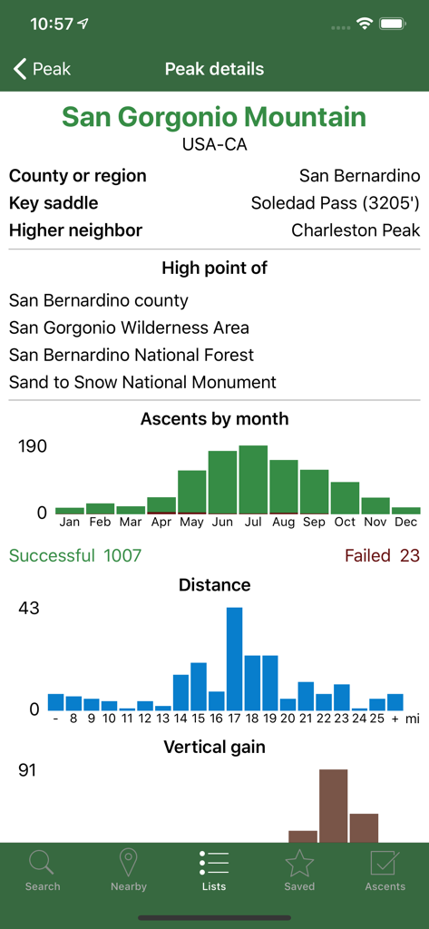
Technical data and ascent statistics for San Gorgonio Mountain on the Peakbagger app
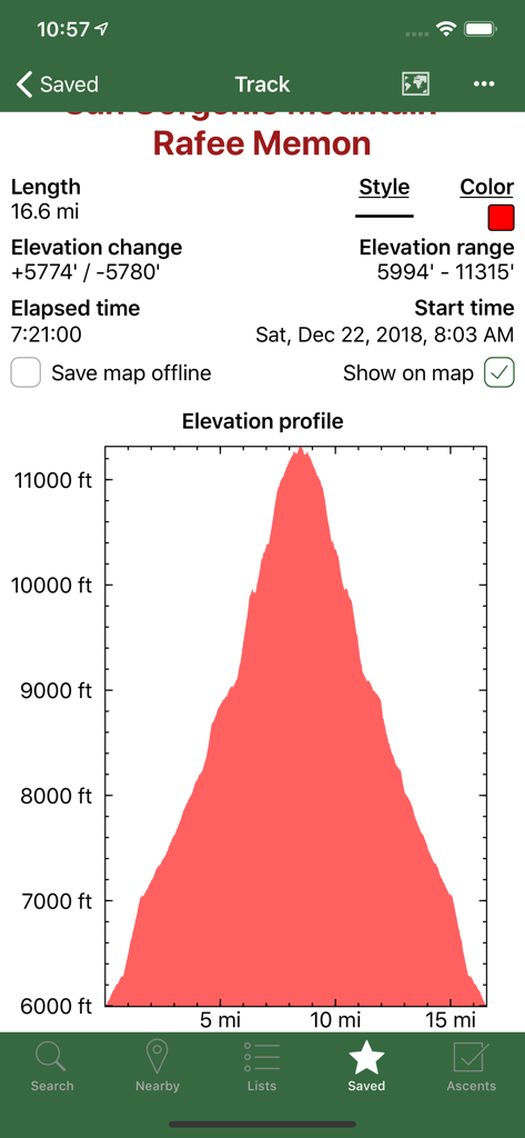
Screenshot of the Peakbagger app showing a detailed elevation profile graph and hiking statistics for a recorded mountain track
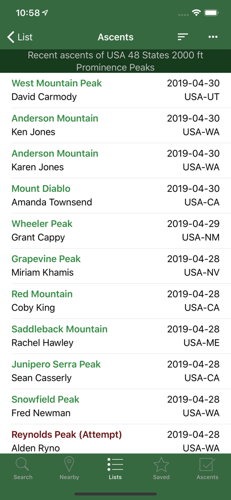
Screenshot of the Peakbagger app showing a chronological list of recent peak ascents with climber names and locations
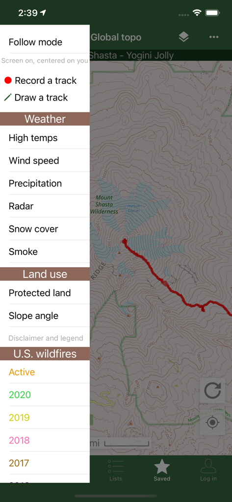
Peakbagger app interface showing a topographic map with a sidebar menu for weather and wildfire data overlays
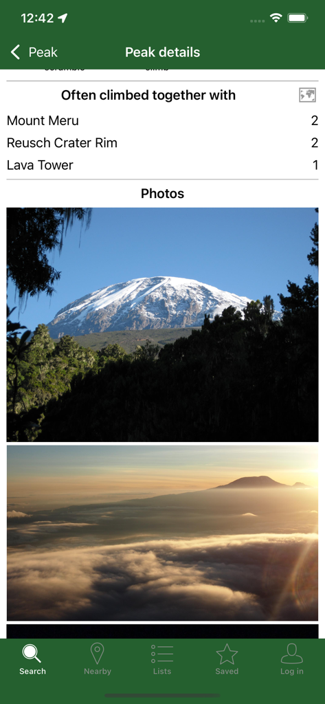
Peakbagger app displaying peak details photos and a list of summits often climbed together
Description
Download
More Like This
Top-ranked apps in the same category

Strava: Run, Bike, Walk
Strava Inc.

Flo Cycle & Period Tracker
FLO HEALTH UK LIMITED

AI Calorie Tracker by Yazio
YAZIO GmbH

Mi Fitness (Xiaomi Wear Lite)
Beijing Xiaomi Co., Ltd

MyFitnessPal: Calorie Counter
MyFitnessPal, Inc.

Cal AI - Calorie Tracker
Viral Development LLC

美柚 - 经期·备孕·怀孕·育儿&亲友版
Xiamen Meet You Co., Ltd.

Yuka - Food & Cosmetic Scanner
Yuca

Period Tracker Period Calendar
ABISHKKING LIMITED.
This page is not an official page of the app or its developer, but an independent editorial publication created for informational and commentary purposes. Unless expressly stated otherwise, neither the app nor its developer is affiliated with, endorsed by, sponsored by, authorized by, or otherwise officially connected with MWM, Apple, Google Play, the app publisher, or the app's developer, and nothing on this page implies that the app was developed using MWM's services. Any trademarks, logos, screenshots, and other content remain the property of their respective owners.