This page is not an official page of the app or its developer, but an independent editorial publication created for informational and commentary purposes. Unless expressly stated otherwise, neither the app nor its developer is affiliated with, endorsed by, sponsored by, authorized by, or otherwise officially connected with MWM, Apple, Google Play, the app publisher, or the app's developer, and nothing on this page implies that the app was developed using MWM's services. Any trademarks, logos, screenshots, and other content remain the property of their respective owners.

Public transport map Berlin
Master the U-Bahn, S-Bahn, and trams with ease. Access detailed, high-resolution maps and save your favorite routes—all available offline to keep you moving without expensive roaming fees.
Downloads
1K+User Rating
Total Ratings
0Publisher
Category
TravelLocales
1Latest Version
4.2Size
89.5 MBFirst Released
Jan 24, 2020Navigate Berlin with Total Confidence
The complete transit guide for the independent explorer. Master the U-Bahn, S-Bahn, and trams with an all-in-one map that works wherever you go.
Go Offline, Stay on Track
Avoid expensive international roaming. Access full transit maps and schedules offline so you can navigate the city without a data plan.
The Entire Network at a Glance
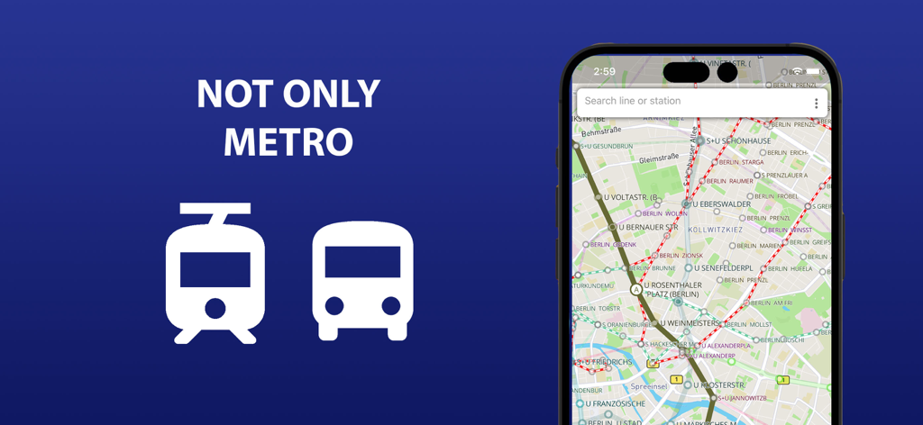
Stop switching between apps. Get a unified view of every metro, tram, and bus line with simplified transfer points for easy city-wide travel.
The following screenshots and description are sourced directly from the app's official store listing and are the property of the app developer.
App Store
Screenshots
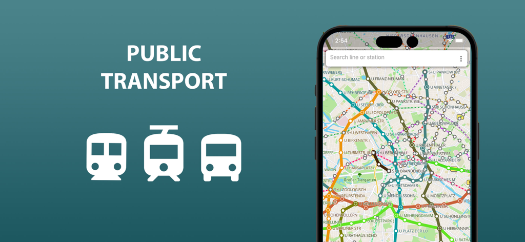
iPhone displaying a detailed public transport map of Berlin with metro tram and bus lines
Berlin public transport map showing metro tram and bus routes on a mobile device
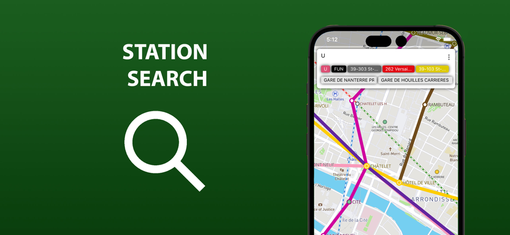
A smartphone screen displaying the station search feature and transit map interface for navigating public transportation.
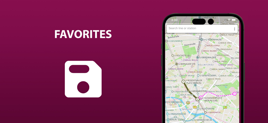
Mobile app screen for saving favorite transit routes in Berlin
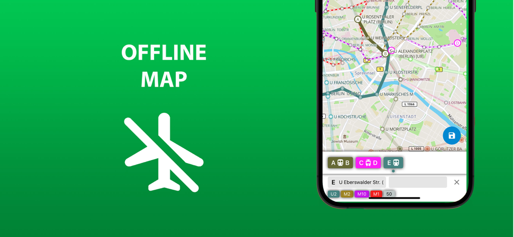
A smartphone displaying the offline map feature of the Berlin public transport app
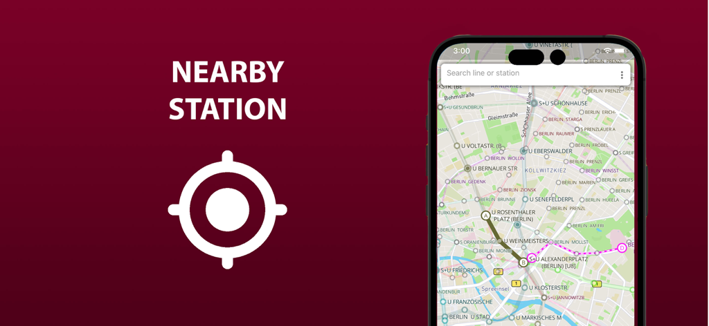
Berlin transit app showing nearby metro and train stations on a city map with a location marker.
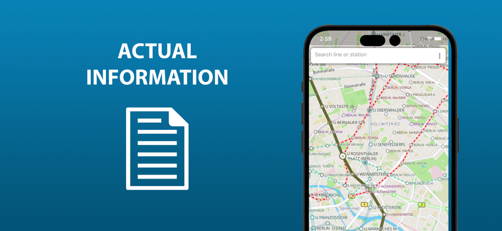
Smartphone displaying the Berlin public transport map with metro and tram lines
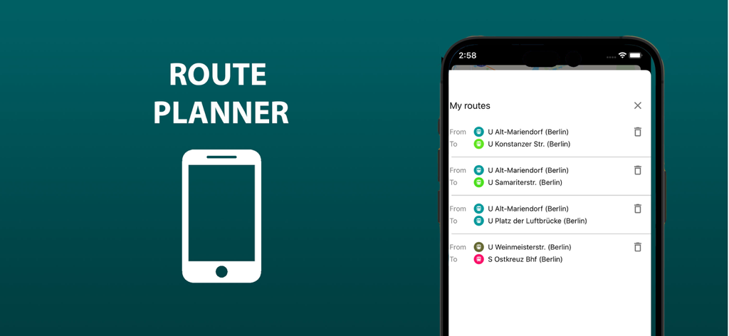
Interface of the Berlin public transport app showing a list of saved routes in the route planner
Description
Download
More Like This
Top-ranked apps in the same category

Uber - Request a ride
Uber Technologies, Inc.

Airbnb
Airbnb, Inc.

铁路12306
ACADEMY OF RAILWAY SCIENCES CO., ltd.

Booking.com: Hotels & Travel
Booking.com B.V.

Grab: Taxi Ride, Food Delivery
GRABTAXI HOLDINGS PTE. LTD.

Trip.com: Book Flights, Hotels
Trip.com Travel Singapore Pte. Ltd.

DiDi China: Ride Hailing
Didi Chuxing (Beijing) Network Platform Technology Co., Ltd

去哪儿旅行-订酒店机票火车票
Beijing Qunar Information Technology Company Limit

Bolt: Request a Ride
BOLT TECHNOLOGY OU
This page is not an official page of the app or its developer, but an independent editorial publication created for informational and commentary purposes. Unless expressly stated otherwise, neither the app nor its developer is affiliated with, endorsed by, sponsored by, authorized by, or otherwise officially connected with MWM, Apple, Google Play, the app publisher, or the app's developer, and nothing on this page implies that the app was developed using MWM's services. Any trademarks, logos, screenshots, and other content remain the property of their respective owners.