This page is not an official page of the app or its developer, but an independent editorial publication created for informational and commentary purposes. Unless expressly stated otherwise, neither the app nor its developer is affiliated with, endorsed by, sponsored by, authorized by, or otherwise officially connected with MWM, Apple, Google Play, the app publisher, or the app's developer, and nothing on this page implies that the app was developed using MWM's services. Any trademarks, logos, screenshots, and other content remain the property of their respective owners.

VizReport
Stop guessing and start diving. Get daily visibility reports, sea surface temperatures, and 3D bathymetry to find the clearest water before you ever leave the dock.
Downloads
100+User Rating
Total Ratings
0Publisher
Category
SportsLocales
1Latest Version
1.0.8Size
72.2 MBFirst Released
Mar 3, 2026Precision Tools for Every Descent
Stop guessing and start diving. VizReport leverages NASA and Copernicus satellite constellations to deliver professional-grade ocean intelligence directly to your device.
Daily Visibility Intelligence
Convert space-based data into actionable visibility estimates. View clarity contours to find the best dive sites and avoid 'blown-out' days.
Professional Ocean Layers
Monitor Sea Surface Temperature (SST), chlorophyll concentrations, and current analysis to plan for thermal comfort and optimal photography windows.
The following screenshots and description are sourced directly from the app's official store listing and are the property of the app developer.
App Store
Screenshots
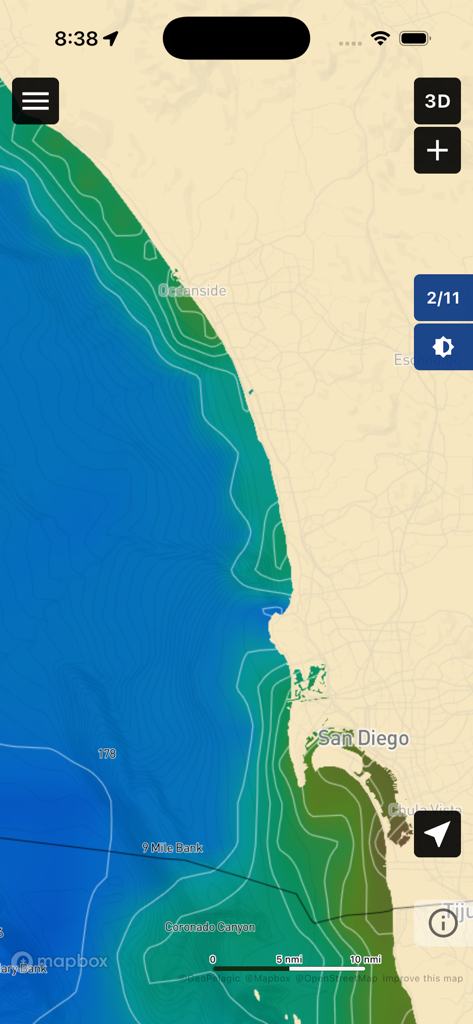
VizReport mobile app interface displaying satellite-derived water visibility and bathymetry contours along the coast of San Diego
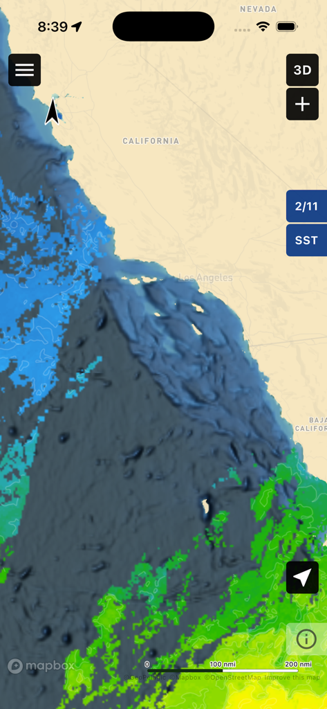
VizReport app interface showing a sea surface temperature map of the California coast
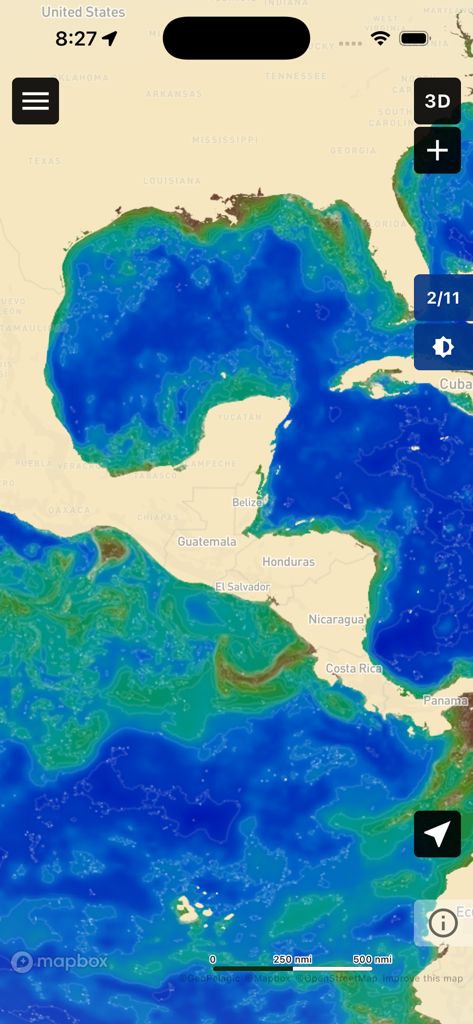
Satellite derived water visibility map of the Gulf of Mexico and Caribbean on the VizReport app
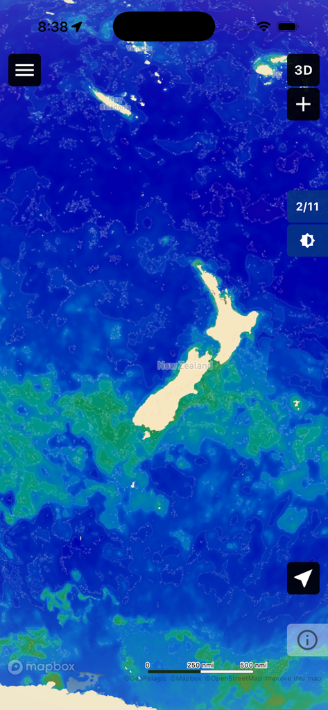
A satellite-derived water visibility map of the ocean surrounding New Zealand in the VizReport app.
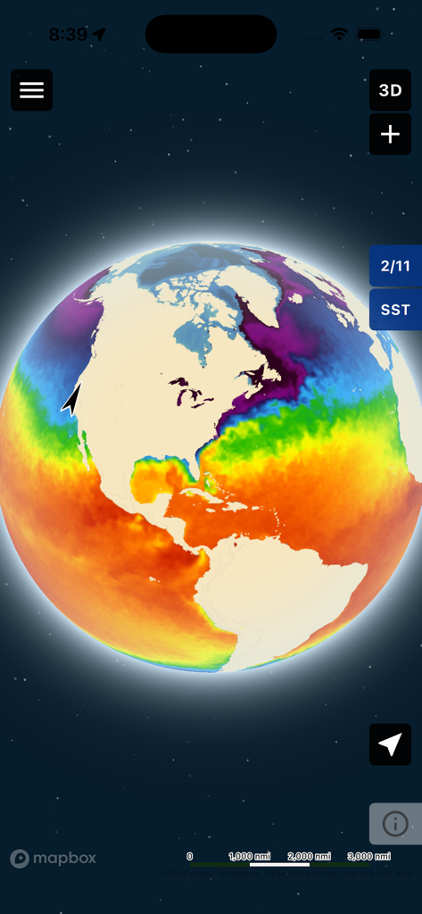
A 3D interactive globe in the VizReport app displaying color-coded sea surface temperature data across the Americas.
Description
Download
More Like This
Top-ranked apps in the same category

得物 - 得到美好事物
Shanghai Dewu Information Group Co., Ltd.

虎扑-评分篮球足球游戏影视
Shanghai Kuanghui Network Technology Co., LTD

运动世界校园版-大学生校园趣味运动
Zhejiang Wanhang Mdt InfoTech Co., Ltd.

NCAA March Madness Live
Turner Sports

CBS Sports App: Scores & News
CBS Mobile

GameChanger
GameChanger Media, Inc.

F1 TV
Formula One Digital Media Limited

Formula 1®
Formula One Digital Media Limited

ESPN: Live Sports & Scores
Disney Electronic Content, Inc.
This page is not an official page of the app or its developer, but an independent editorial publication created for informational and commentary purposes. Unless expressly stated otherwise, neither the app nor its developer is affiliated with, endorsed by, sponsored by, authorized by, or otherwise officially connected with MWM, Apple, Google Play, the app publisher, or the app's developer, and nothing on this page implies that the app was developed using MWM's services. Any trademarks, logos, screenshots, and other content remain the property of their respective owners.