This page is not an official page of the app or its developer, but an independent editorial publication created for informational and commentary purposes. Unless expressly stated otherwise, neither the app nor its developer is affiliated with, endorsed by, sponsored by, authorized by, or otherwise officially connected with MWM, Apple, Google Play, the app publisher, or the app's developer, and nothing on this page implies that the app was developed using MWM's services. Any trademarks, logos, screenshots, and other content remain the property of their respective owners.

Zoom Earth Live Weather Map
Go beyond simple forecasts with high-resolution satellite imagery. Track wildfires, monitor severe storms, and plan up to 16 days ahead with professional-grade data designed for the ultimate weather-ready lifestyle.
Downloads
5K+User Rating
Total Ratings
0Publisher
Category
WeatherLocales
18Latest Version
1.0Size
80.8 MBFirst Released
Jan 12, 2025Professional Weather Intelligence at Your Fingertips
Go beyond simple forecasts with high-definition satellite imagery and interactive maps. Designed for outdoor enthusiasts, professionals, and anyone who demands precision weather data to protect their property and plan their life.
Real-Time Satellite & Radar
Visualize the atmosphere with near real-time imagery. Track everything from storm formations and hurricane paths to wildfire smoke and air quality levels across global map layers.
Advanced 16-Day Planning
Eliminate uncertainty with long-range precipitation and temperature forecasts. Perfect for managing construction sites, planning outdoor events, or scheduling weekend adventures with confidence.
The following screenshots and description are sourced directly from the app's official store listing and are the property of the app developer.
App Store
Screenshots
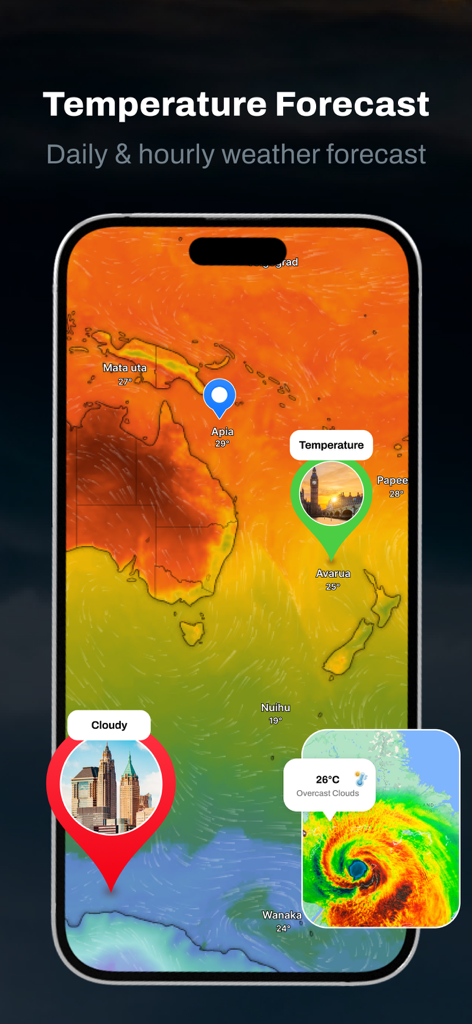
Global temperature forecast heat map and storm radar interface on a smartphone
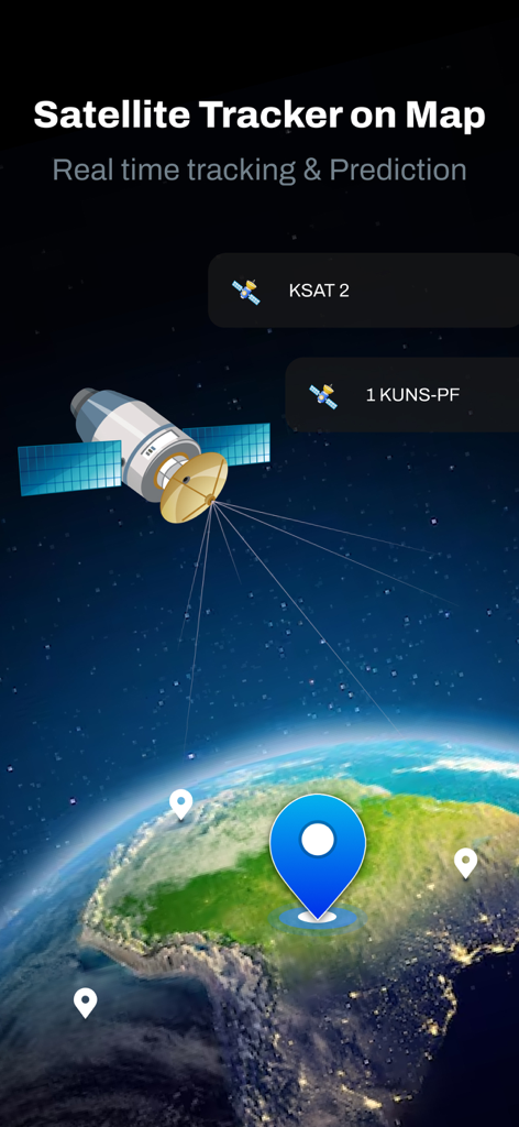
Real time satellite tracking and prediction on a global map.
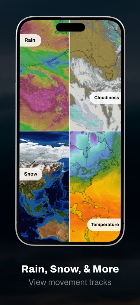
Four weather map visualizations for rain snow cloudiness and temperature on a smartphone screen
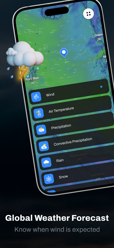
Global weather forecast map showing wind layers and precipitation options in the Zoom Earth app
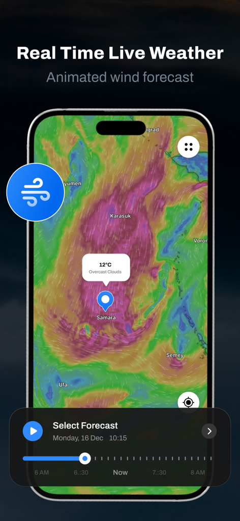
A mobile interface displaying an animated wind forecast map with a temperature overlay and local weather conditions for Samara
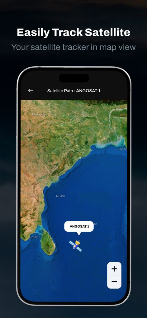
Interface of the Zoom Earth app showing a satellite tracker with the path of ANGOSAT 1 over a sea map
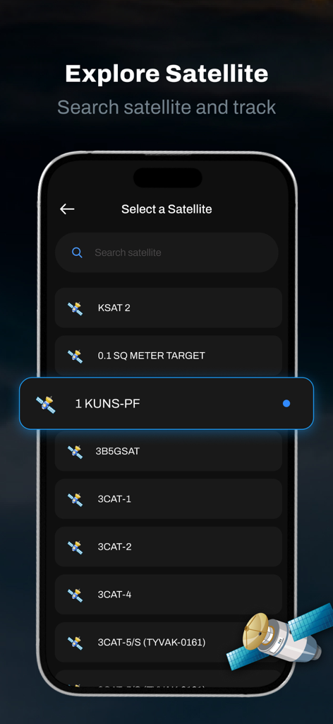
Smartphone screen showing a list of satellites to select and track within the Zoom Earth Live Weather Map app
Description
Download
More Like This
Top-ranked apps in the same category

墨迹天气-MojiWeather
Beijing MojiFengyun Technology Co.,Ltd.

The Weather Channel - Radar
The Weather Channel

Windy.com
Windyty, SE

天气预报-精准15日天气预报
Chongqing Caochen Technology Co., Ltd.

My Aurora Forecast & Alerts
JRustonApps B.V.

AccuWeather: Weather Forecast
AccuWeather International, Inc.

Weather & Radar - Storm radar
WetterOnline - Meteorologische Dienstleistungen GmbH

天气通
Weibo Internet Technology (China) Co.Ltd.

The Thermometer -Digital-
Vida Apps Incorporated
This page is not an official page of the app or its developer, but an independent editorial publication created for informational and commentary purposes. Unless expressly stated otherwise, neither the app nor its developer is affiliated with, endorsed by, sponsored by, authorized by, or otherwise officially connected with MWM, Apple, Google Play, the app publisher, or the app's developer, and nothing on this page implies that the app was developed using MWM's services. Any trademarks, logos, screenshots, and other content remain the property of their respective owners.