このページはアプリまたはその開発者の公式ページではなく、情報提供および論評を目的として作成された独立した編集出版物です。明示的に別段の記載がない限り、アプリおよびその開発者は、MWM、Apple、Google Play、アプリのパブリッシャー、またはアプリの開発者と提携、承認、後援、認可、またはその他の公式的な関係はなく、このページのいかなる内容も、アプリがMWMのサービスを使用して開発されたことを意味するものではありません。すべての商標、ロゴ、スクリーンショット、その他のコンテンツはそれぞれの所有者の財産です。

GPS海拔高度-海拔高度表,元地球海拔-户外打卡-海拔测量仪
高度、酸素レベル、気圧の精密追跡で、すべてのピークを制覇しましょう。ハイカーやオーバーランダーのために設計されており、セルの電波がなくてもどこでも機能します。
ダウンロード
1M+ユーザー評価
評価数
63K+開発元
カテゴリ
Travel対応言語
1最新バージョン
1.2.7サイズ
46.7 MBリリース日
2020年10月13日あらゆる標高をマスターする
プロフェッショナルグレードの高度追跡、安全アラート、環境データで、最も野心的なオフグリッドアドベンチャーをサポートします。
精密オフライン高度計
携帯サービスの圏外であっても、正確な標高、座標、気圧データを提供します。
リアルタイム安全指標
酸素レベルと大気圧を監視し、西部の急峻な山々への登頂中の高山病のリスクを回避します。
以下のスクリーンショットと説明は、アプリの公式ストアリスティングから直接取得されたものであり、アプリ開発者の所有物です。
アプリストア
スクリーンショット
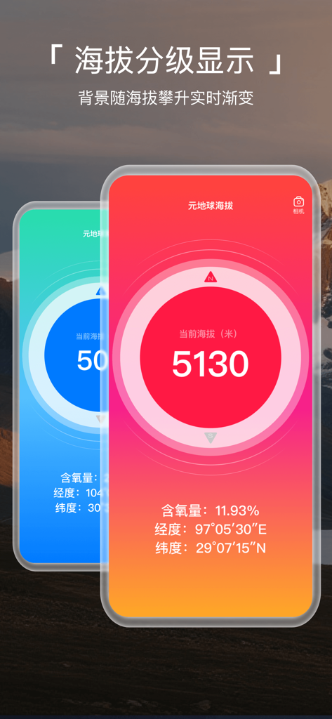
Meta Earth Altimeterアプリが、酸素レベルとGPS座標とともに高高度測定値を示しています
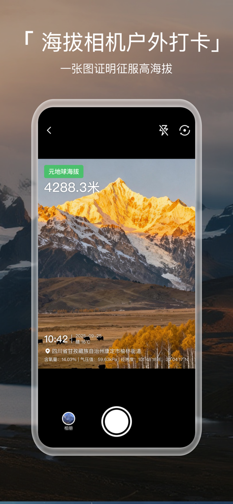
Meta Earth Altimeterアプリのウォーターマークカメラが、高度と座標のオーバーレイとともに山の頂上を表示しています
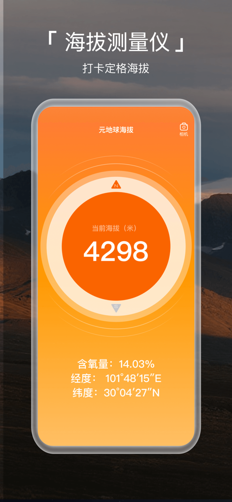
モバイルアプリのインターフェースが、リアルタイムの高度、酸素レベル、地理座標を表示しています
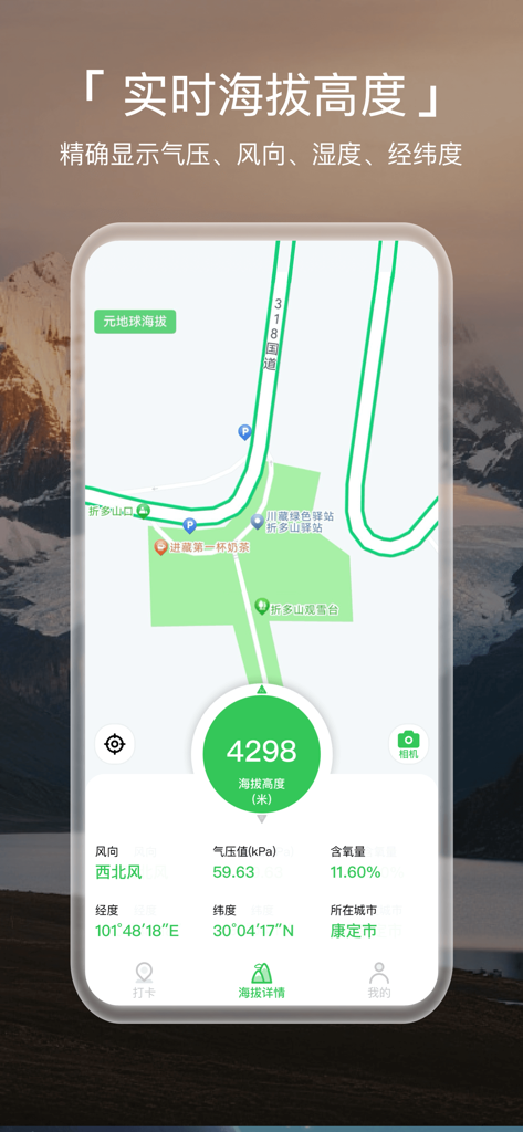
モバイルアプリのインターフェースが、山の背景に対して、高度4298メートル、酸素レベル、GPS座標を表示しています
説明
Download

このページはアプリまたはその開発者の公式ページではなく、情報提供および論評を目的として作成された独立した編集出版物です。明示的に別段の記載がない限り、アプリおよびその開発者は、MWM、Apple、Google Play、アプリのパブリッシャー、またはアプリの開発者と提携、承認、後援、認可、またはその他の公式的な関係はなく、このページのいかなる内容も、アプリがMWMのサービスを使用して開発されたことを意味するものではありません。すべての商標、ロゴ、スクリーンショット、その他のコンテンツはそれぞれの所有者の財産です。