このページはアプリまたはその開発者の公式ページではなく、情報提供および論評を目的として作成された独立した編集出版物です。明示的に別段の記載がない限り、アプリおよびその開発者は、MWM、Apple、Google Play、アプリのパブリッシャー、またはアプリの開発者と提携、承認、後援、認可、またはその他の公式的な関係はなく、このページのいかなる内容も、アプリがMWMのサービスを使用して開発されたことを意味するものではありません。すべての商標、ロゴ、スクリーンショット、その他のコンテンツはそれぞれの所有者の財産です。

Mergin Maps: QGIS in pocket
モバイルデバイスをプロフェッショナルな測量ツールに変えましょう。正確なGPSデータとインテリジェントなフォームをオフラインでキャプチャし、数秒でQGISデスクトップに直接同期します。
ダウンロード
13K+ユーザー評価
評価数
0開発元
カテゴリ
Utilities対応言語
22最新バージョン
2025.8.0サイズ
130.0 MBリリース日
2019年11月16日フィールドワークフローを効率化
モバイルデバイスから直接、プロフェッショナルグレードのGISデータを簡単にキャプチャ、同期、管理し、QGIS環境と完全に統合します。
シームレスなQGIS統合
モバイルマップレイヤーは、デスクトップQGISプロジェクトと全く同じように表示され、動作します。ケーブルや複雑な変換は不要—直接、手間のかからない同期だけです。
信頼性の高いオフラインデータキャプチャ
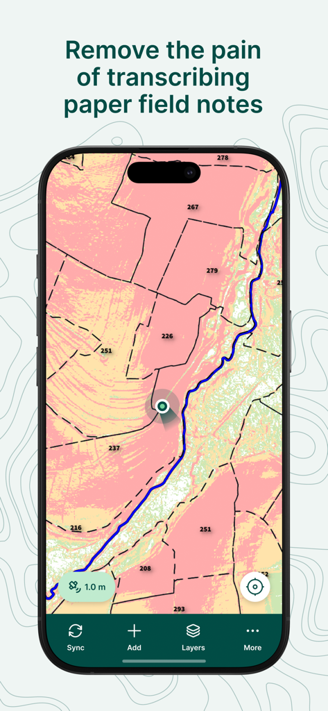
セルサービスのない遠隔地でも作業できます。GPSデータ、写真、メモをオフラインでキャプチャし、数秒でオフィスに同期します。
以下のスクリーンショットと説明は、アプリの公式ストアリスティングから直接取得されたものであり、アプリ開発者の所有物です。
アプリストア
スクリーンショット
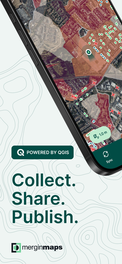
Mergin Mapsアプリ画面、地形マッピングとフィールドデータ収集を表示
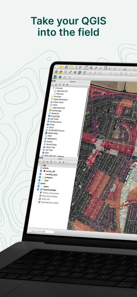
QGISデスクトップソフトウェアインターフェースを表示するラップトップ、詳細な衛星マップと地理レイヤー、「Take your QGIS into the field」という見出しの下に表示
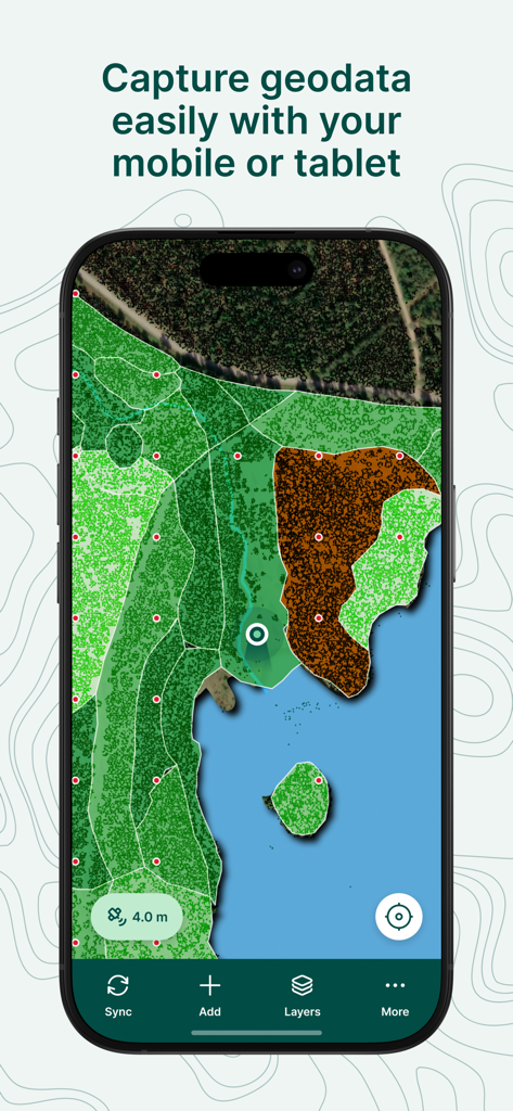
Mergin Mapsモバイルアプリ、土地被覆レイヤーとデータキャプチャインターフェースを備えた詳細なGISマップを表示
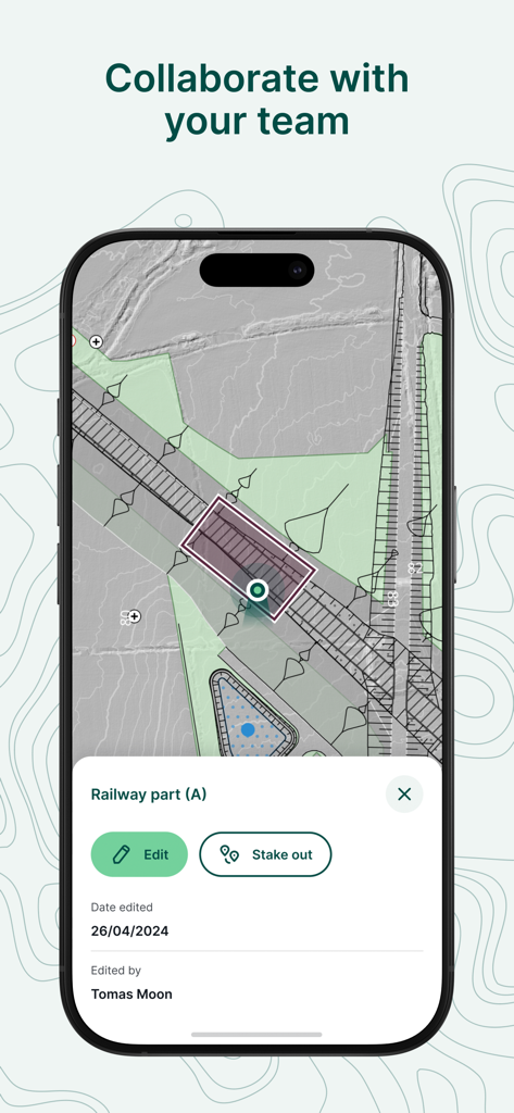
Mergin Mapsモバイルアプリインターフェース、鉄道プロジェクトのための共同フィールドデータ収集と編集を表示
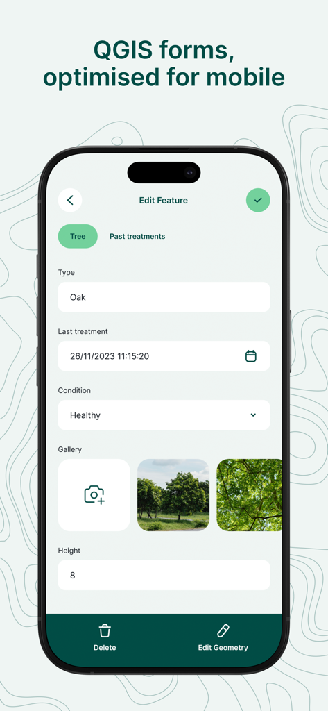
Mergin Mapsのモバイルインターフェース、樹種や状態のデータ入力フィールドを備えたプロフェッショナルフィールド調査フォームを表示
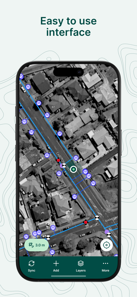
Mergin Mapsモバイルアプリのスクリーンショット、プロフェッショナルGIS調査マーカーとデータラインを備えた使いやすい衛星マップインターフェースを表示
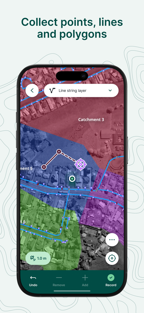
モバイルアプリ画面、プロフェッショナルフィールド測量とデータ収集のための幾何学的オーバーレイを備えた衛星マップを表示
Mergin Mapsアプリ、スマートフォン画面に区画データを持つプロフェッショナルGISマップを表示
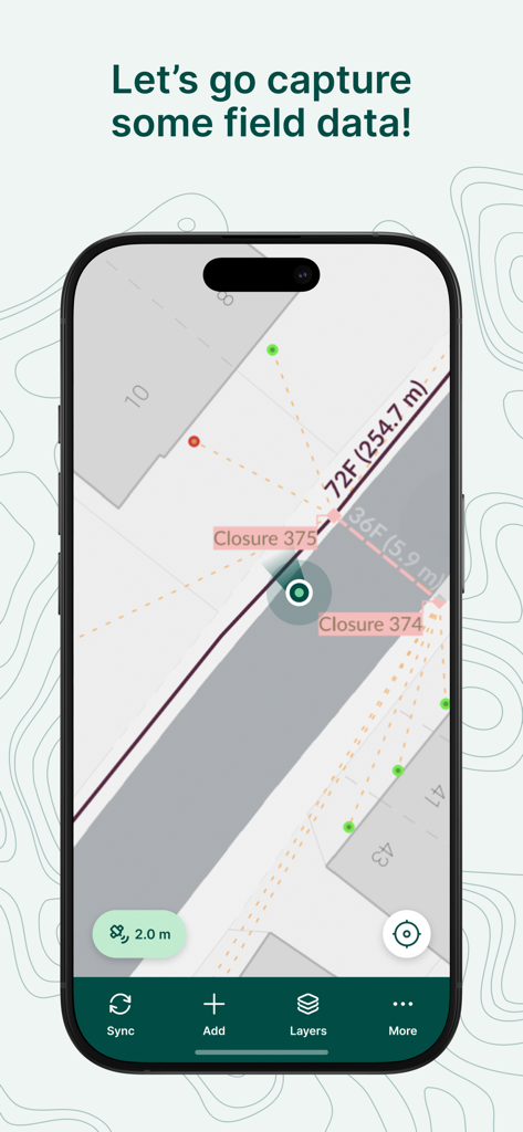
Mergin Mapsアプリインターフェース、マップ上にフィールドデータキャプチャと測量測定を表示
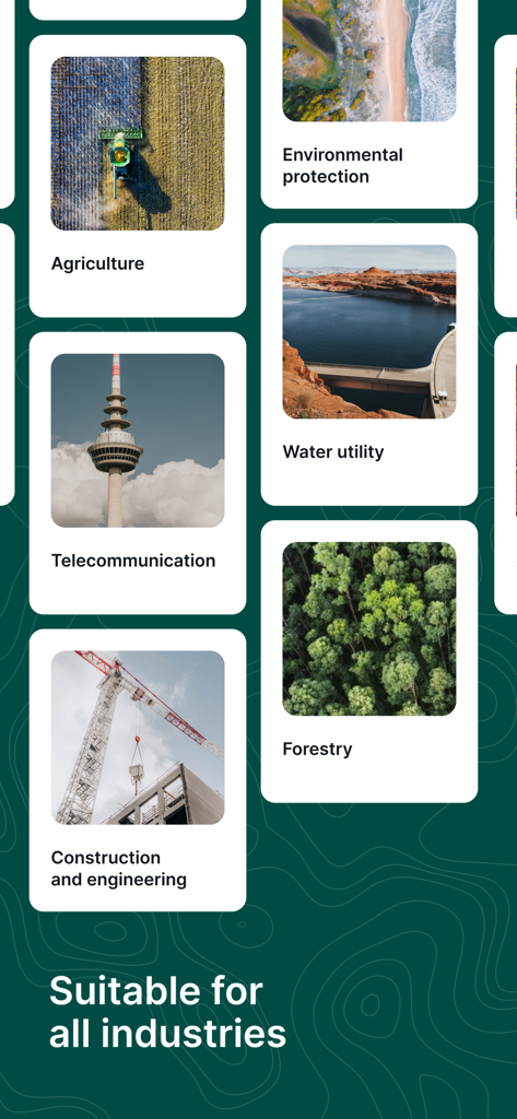
Mergin Mapsインターフェース、農業、林業、建設業を含む様々な産業での適合性を示す
説明
Download
類似アプリ
同じカテゴリのトップランクアプリ

Google LLC

Google Chrome
Google LLC

中国移动(手机营业厅)
China Mobile Online Services Co., Ltd.

Google Authenticator
Google LLC

CNH do Brasil
Servicos e Informacoes do Brasil

Cleanup: Phone Storage Cleaner
DEEP FLOW SOFTWARE SERVICES - FZCO

gov.br
Servicos e Informacoes do Brasil

中国电信-全国统一官方服务平台
CHINA TELECOM Corporation Ltd.

Microsoft Edge: AI Browser
Microsoft Corporation
このページはアプリまたはその開発者の公式ページではなく、情報提供および論評を目的として作成された独立した編集出版物です。明示的に別段の記載がない限り、アプリおよびその開発者は、MWM、Apple、Google Play、アプリのパブリッシャー、またはアプリの開発者と提携、承認、後援、認可、またはその他の公式的な関係はなく、このページのいかなる内容も、アプリがMWMのサービスを使用して開発されたことを意味するものではありません。すべての商標、ロゴ、スクリーンショット、その他のコンテンツはそれぞれの所有者の財産です。