このページはアプリまたはその開発者の公式ページではなく、情報提供および論評を目的として作成された独立した編集出版物です。明示的に別段の記載がない限り、アプリおよびその開発者は、MWM、Apple、Google Play、アプリのパブリッシャー、またはアプリの開発者と提携、承認、後援、認可、またはその他の公式的な関係はなく、このページのいかなる内容も、アプリがMWMのサービスを使用して開発されたことを意味するものではありません。すべての商標、ロゴ、スクリーンショット、その他のコンテンツはそれぞれの所有者の財産です。

PredictWind Offshore Weather
衛星通信に最適化された高解像度ウェザールーティングとGRIBダウンロードで、気象要素をマスターしましょう。ECMWFやUKMOなどの世界をリードするモデルにアクセスし、外洋での安全とパフォーマンスを確保します。
ダウンロード
477K+ユーザー評価
評価数
100開発元
カテゴリ
Weather対応言語
1最新バージョン
7.5.1サイズ
157.9 MBリリース日
2016年1月7日本格的な船乗りのための精密気象ツール
高解像度予報、ウェザールーティング、安全性のための究極のオフショアツールキット。衛星通信やモバイルデータ通信を介して、地球上のどこでも動作するように設計されています。
衛星通信に最適化された効率
低帯域幅の接続用に設計された超圧縮ファイルを使用して、Iridium GO!、Globalstar、またはStarlink経由で重要なGRIBファイルとウェザールートをダウンロードします。
比類のないモデル精度
ECMWF、SPIRE、UKMOなどの世界トップクラスのモデルに加え、超局地的な精度のための独自の1km解像度PWGおよびPWE予報を信頼してください。
以下のスクリーンショットと説明は、アプリの公式ストアリスティングから直接取得されたものであり、アプリ開発者の所有物です。
アプリストア
スクリーンショット
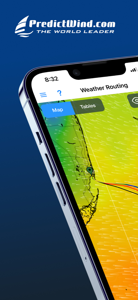
マイアミ近郊の風データを含む海上ウェザールーティングマップを表示するPredictWind Offshoreアプリのインターフェース
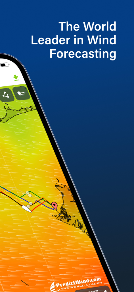
PredictWindのオフショア風予報とウェザールーティングを表示するモバイル画面
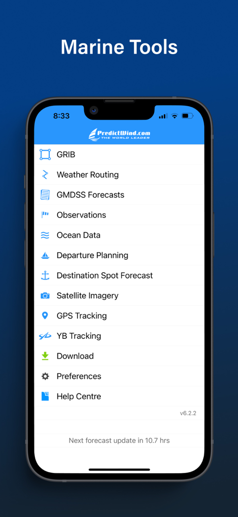
ウェザールーティングやGRIBファイルなどの機能を備えた「マリンツール」メニューを表示するPredictWind Offshore Weatherアプリのインターフェース
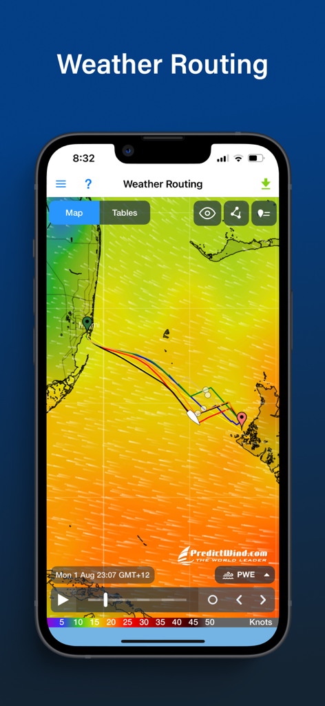
海上航行用のウェザールーティングと風予報マップを表示するPredictWind Offshoreアプリのインターフェース
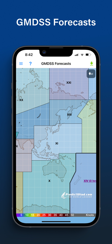
マップ上にGMDSS海上予報ゾーンを表示するPredictWind Offshore Weatherアプリ
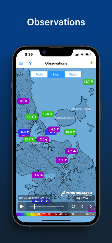
沿岸マップ上にライブの海上風観測データを表示するPredictWindアプリの画面
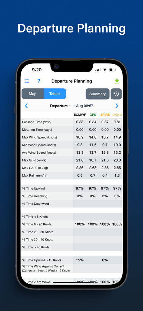
海上の航海のために異なる気象モデルを比較するPredictWind Offshoreアプリの出発計画テーブル
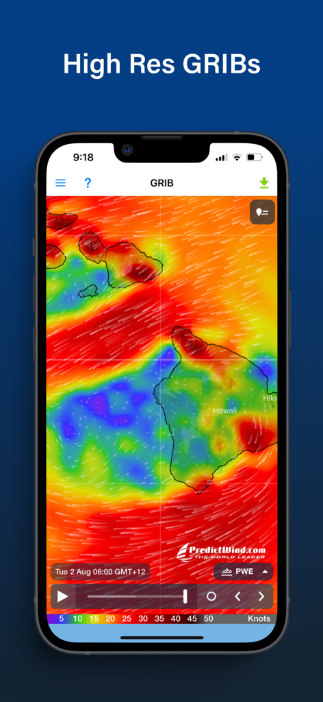
ハワイ諸島周辺の風のパターンを示す高解像度GRIB気象マップを表示するPredictWind Offshoreアプリ。
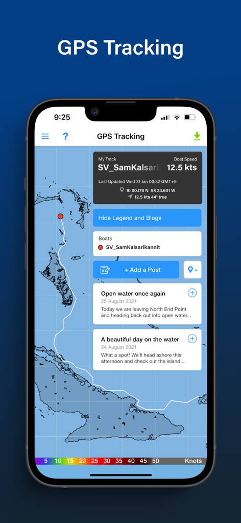
速度やブログの更新とともに、マップ上に船舶の経路を表示するPredictWind OffshoreアプリのGPSトラッキング画面
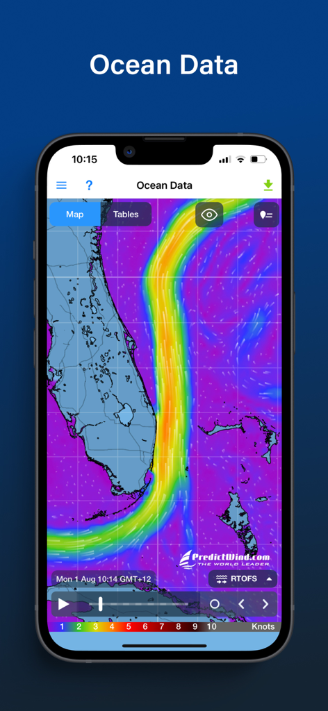
フロリダ沿岸の海流データとマップを表示するPredictWind Offshoreアプリ
説明
Download
類似アプリ
似た機能とユーザー体験を持つアプリ


このページはアプリまたはその開発者の公式ページではなく、情報提供および論評を目的として作成された独立した編集出版物です。明示的に別段の記載がない限り、アプリおよびその開発者は、MWM、Apple、Google Play、アプリのパブリッシャー、またはアプリの開発者と提携、承認、後援、認可、またはその他の公式的な関係はなく、このページのいかなる内容も、アプリがMWMのサービスを使用して開発されたことを意味するものではありません。すべての商標、ロゴ、スクリーンショット、その他のコンテンツはそれぞれの所有者の財産です。