이 페이지는 앱이나 개발자의 공식 페이지가 아니며, 정보 제공 및 논평을 목적으로 작성된 독립 편집 간행물입니다. 명시적으로 달리 언급되지 않는 한, 해당 앱이나 개발자는 MWM, Apple, Google Play, 앱 퍼블리셔 또는 앱 개발자와 제휴, 보증, 후원, 승인 또는 공식적으로 연결되어 있지 않으며, 이 페이지의 어떤 내용도 해당 앱이 MWM의 서비스를 사용하여 개발되었음을 의미하지 않습니다. 모든 상표, 로고, 스크린샷 및 기타 콘텐츠는 해당 소유자의 자산입니다.

Field Area Measure - Land GPS
기기를 전문가 수준의 측량 도구로 전환하세요. GPS 정확도로 토지 면적, 둘레 및 거리를 즉시 계산하세요. 농부, 계약자 및 부동산 전문가를 위해 설계되었습니다.
다운로드
26K+사용자 평점
총 평가 수
600개발사
카테고리
Navigation지원 언어
10최신 버전
1.0.26크기
40.8 MB출시일
2025년 2월 2일전문 토지 관리를 위한 정밀 도구
농부, 계약자 및 부동산 소유자를 위해 설계된 강력한 GPS 도구로 값비싼 측량 하드웨어를 교체하세요. iPhone 또는 iPad에서 직접 정확한 핀포인트로 모든 면적이나 거리를 측정하세요.
농업 효율성 극대화
에이커 또는 헥타르 단위로 농경지 크기와 목초지 둘레를 계산하세요. 각 필지에 필요한 비료, 씨앗 또는 울타리의 양을 정확히 알아서 시간과 비용을 절약하세요.
즉각적인 전문 견적
조경, 포장 또는 울타리 공사에 대해 현장에서 정확한 견적을 제공하세요. 모든 둘레를 걸으면서 즉시 표면적 계산을 생성하고 프로젝트 입찰을 간소화하세요.
다음 스크린샷과 설명은 앱의 공식 스토어 목록에서 직접 가져온 것이며 앱 개발자의 자산입니다.
앱 스토어
스크린샷
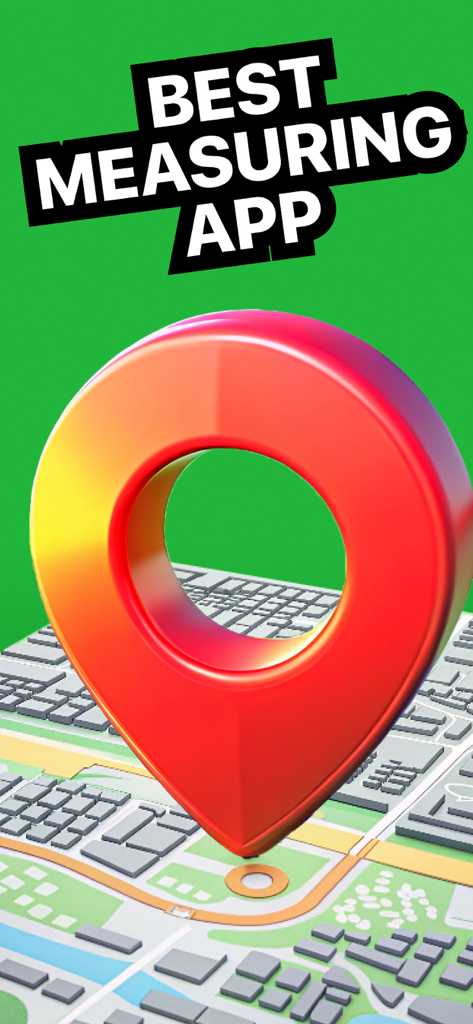
3D 도시 지도 위에서 텍스트가 Best Measuring App이라고 표시된 큰 빨간색 지도 핀
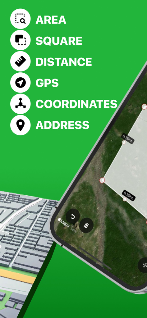
위성 지도에서 면적 거리 및 GPS 좌표 측정을 위한 토지 측정 도구를 보여주는 인터페이스
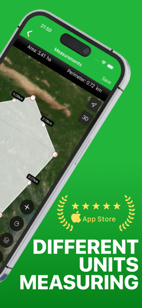
다양한 단위가 있는 위성 지도에서 필지 면적 및 둘레 측정을 보여주는 모바일 앱 인터페이스
설명
Download
비슷한 앱
같은 카테고리의 상위 앱

Google Maps
Google LLC

Waze Navigation & Live Traffic
waze

AMap Global
AutoNavi Information Technology Co. Ltd.

百度地图-路线规划,出行必备
Beijing Baidu Netcom Science & Technology Co.,Ltd

Moovit: Bus & Transit Tracker
Moovit App Global LTD

Transit • Subway & Bus Times
9280-0366 Quebec inc.

ParkMobile: Park. Pay. Go.
Parkmobile USA, Inc

腾讯地图-路线规划,导航地铁打车出行
Shenzhen Tencent Computer Systems Company Limited

Île-de-France Mobilités
Ile de France Mobilites
이 페이지는 앱이나 개발자의 공식 페이지가 아니며, 정보 제공 및 논평을 목적으로 작성된 독립 편집 간행물입니다. 명시적으로 달리 언급되지 않는 한, 해당 앱이나 개발자는 MWM, Apple, Google Play, 앱 퍼블리셔 또는 앱 개발자와 제휴, 보증, 후원, 승인 또는 공식적으로 연결되어 있지 않으며, 이 페이지의 어떤 내용도 해당 앱이 MWM의 서비스를 사용하여 개발되었음을 의미하지 않습니다. 모든 상표, 로고, 스크린샷 및 기타 콘텐츠는 해당 소유자의 자산입니다.