이 페이지는 앱이나 개발자의 공식 페이지가 아니며, 정보 제공 및 논평을 목적으로 작성된 독립 편집 간행물입니다. 명시적으로 달리 언급되지 않는 한, 해당 앱이나 개발자는 MWM, Apple, Google Play, 앱 퍼블리셔 또는 앱 개발자와 제휴, 보증, 후원, 승인 또는 공식적으로 연결되어 있지 않으며, 이 페이지의 어떤 내용도 해당 앱이 MWM의 서비스를 사용하여 개발되었음을 의미하지 않습니다. 모든 상표, 로고, 스크린샷 및 기타 콘텐츠는 해당 소유자의 자산입니다.

Geo Elevation: Path Analyzer
대화형 고도 프로필과 전문적인 데이터로 지형을 마스터하세요. iPhone, Mac 및 Vision Pro 전반에 걸쳐 정밀하게 다음 하이킹, 라이딩 또는 모험을 계획하세요.
다운로드
51K+사용자 평점
총 평가 수
100개발사
카테고리
Navigation지원 언어
-최신 버전
1.6크기
4.3 MB출시일
2012년 3월 24일출발 전 모든 경사면을 마스터하세요
지도 데이터를 실행 가능한 통찰력으로 전환하세요. 도전적인 정상 등반이나 경치 좋은 자전거 타기를 계획하든 Geo Elevation은 자신감을 가지고 탐색하는 데 필요한 고화질 지형 프로필을 제공합니다.
시각적 경로 분석
혼란스러운 등고선은 잊으세요. 경로를 그리고 여정의 모든 봉우리와 계곡을 강조하는 실시간 고도 차트를 확인하세요.
원활한 Apple 통합
귀하의 라이프스타일에 맞춰 디자인되었습니다. Mac에서 계획하고, Vision Pro에서 공간 3D로 시각화하고, iPhone에서 고도 데이터를 주머니에 담아 다니세요.
다음 스크린샷과 설명은 앱의 공식 스토어 목록에서 직접 가져온 것이며 앱 개발자의 자산입니다.
앱 스토어
스크린샷
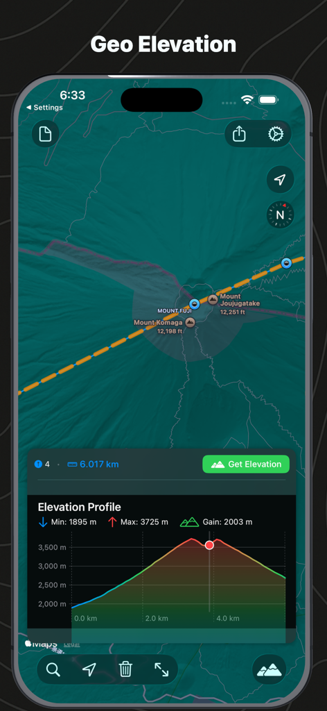
후지산 지도와 해당 고도 프로필 차트를 보여주는 인터페이스
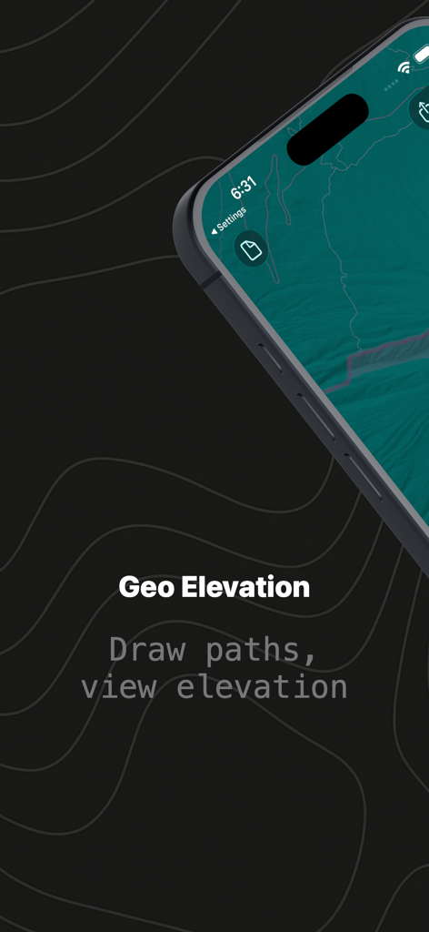
지형 배경에 그려진 경로를 보여주는 Geo Elevation 앱 스플래시 화면
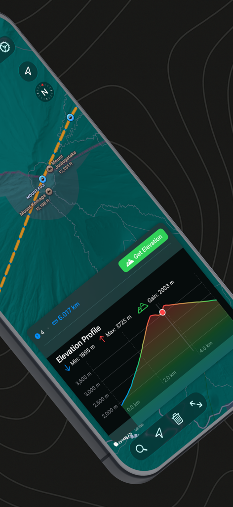
Geo Elevation 앱에서 후지산의 고도 프로필 및 지도 보기
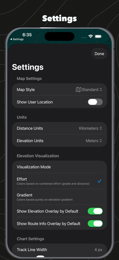
지도 스타일 단위 설정 및 고도 시각화 옵션을 보여주는 Geo Elevation 앱 설정 메뉴
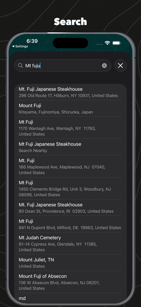
후지산 결과를 보여주는 Geo Elevation Path Analyzer의 위치 검색 인터페이스
설명
Download
비슷한 앱
같은 카테고리의 상위 앱

Google Maps
Google LLC

Waze Navigation & Live Traffic
waze

AMap Global
AutoNavi Information Technology Co. Ltd.

百度地图-路线规划,出行必备
Beijing Baidu Netcom Science & Technology Co.,Ltd

Moovit: Bus & Transit Tracker
Moovit App Global LTD

Transit • Subway & Bus Times
9280-0366 Quebec inc.

ParkMobile: Park. Pay. Go.
Parkmobile USA, Inc

腾讯地图-路线规划,导航地铁打车出行
Shenzhen Tencent Computer Systems Company Limited

Île-de-France Mobilités
Ile de France Mobilites
이 페이지는 앱이나 개발자의 공식 페이지가 아니며, 정보 제공 및 논평을 목적으로 작성된 독립 편집 간행물입니다. 명시적으로 달리 언급되지 않는 한, 해당 앱이나 개발자는 MWM, Apple, Google Play, 앱 퍼블리셔 또는 앱 개발자와 제휴, 보증, 후원, 승인 또는 공식적으로 연결되어 있지 않으며, 이 페이지의 어떤 내용도 해당 앱이 MWM의 서비스를 사용하여 개발되었음을 의미하지 않습니다. 모든 상표, 로고, 스크린샷 및 기타 콘텐츠는 해당 소유자의 자산입니다.