이 페이지는 앱이나 개발자의 공식 페이지가 아니며, 정보 제공 및 논평을 목적으로 작성된 독립 편집 간행물입니다. 명시적으로 달리 언급되지 않는 한, 해당 앱이나 개발자는 MWM, Apple, Google Play, 앱 퍼블리셔 또는 앱 개발자와 제휴, 보증, 후원, 승인 또는 공식적으로 연결되어 있지 않으며, 이 페이지의 어떤 내용도 해당 앱이 MWM의 서비스를 사용하여 개발되었음을 의미하지 않습니다. 모든 상표, 로고, 스크린샷 및 기타 콘텐츠는 해당 소유자의 자산입니다.

Travel Altimeter & Elevation
1백만 명 이상의 모험가 및 여행자와 함께하세요. 정확한 GPS 정확도를 얻고, 기압을 모니터링하고, 멋진 사용자 지정 배경으로 고지대 순간을 공유하세요.
다운로드
1M+사용자 평점
총 평가 수
166K+개발사
카테고리
Navigation지원 언어
33최신 버전
6.14크기
97.5 MB출시일
2011년 12월 14일모든 산 정복하기
정밀한 데이터와 멋진 시각 효과를 결합한 고지대 모험 및 건강 의식적인 여행을 위한 최고의 동반자.
전문가 수준의 고도 데이터
최고 수준의 GPS 고도 및 지형 지도 값을 사용하여 봉우리와 트레일을 절대적인 자신감으로 탐색하세요.
고도 건강 안전
실시간 기압 변화를 모니터링하여 고도 민감성을 관리하고 상승 중 증상보다 앞서나가세요.
다음 스크린샷과 설명은 앱의 공식 스토어 목록에서 직접 가져온 것이며 앱 개발자의 자산입니다.
앱 스토어
스크린샷
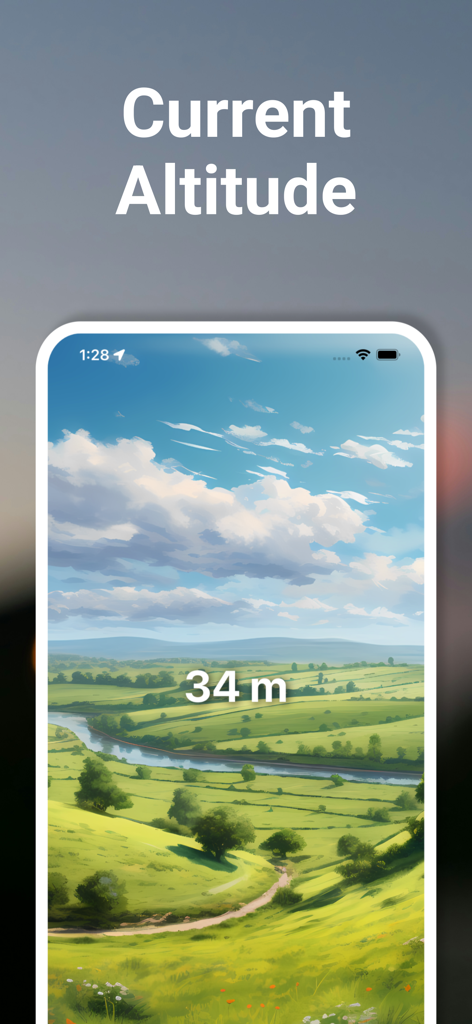
여행 고도계 앱이 그려진 녹색 계곡 풍경 위에 현재 고도 34미터를 표시하고 있습니다.
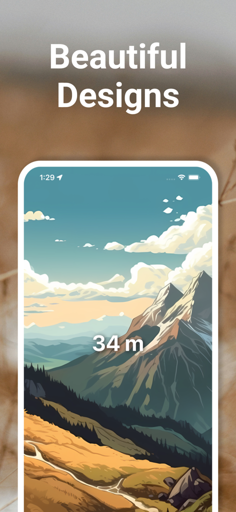
여행 고도계 앱 스크린샷이 그려진 산 풍경 배경에 34미터를 표시하고 있습니다.
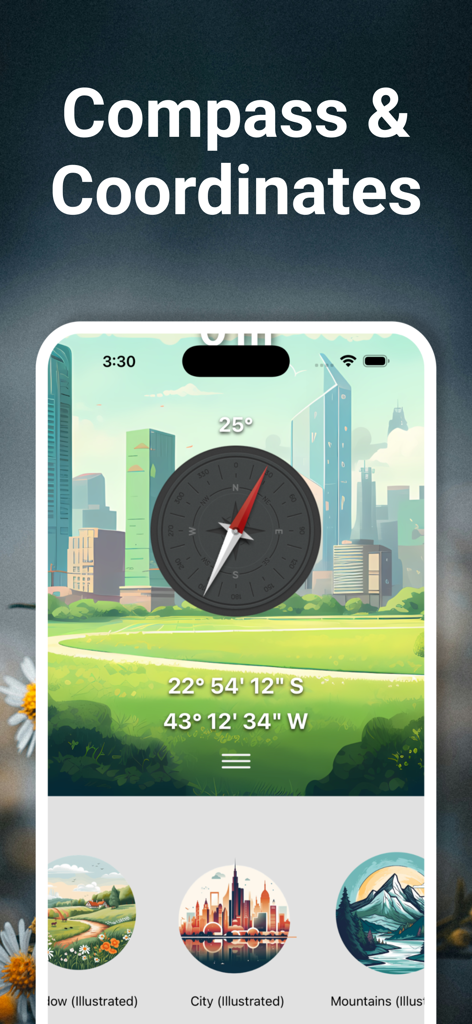
여행 고도계 앱 인터페이스가 그려진 도시 배경 위에 디지털 나침반과 GPS 좌표를 보여줍니다.
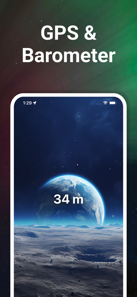
여행 고도계 앱 인터페이스가 우주 테마 배경에 GPS 및 기압계 기능을 갖춘 34미터 고도를 보여줍니다.
설명
Download
비슷한 앱
유사한 기능과 사용자 경험을 가진 앱

Realtime Altimeter
Zhenlai Xia

Travel Camera & Compass
Ha Nguyen

compass-latitude and longitude
美霞 熊

Compass ×
DOUBLE U s.r.o.

GPS Altitude-海拔表
祥琦 孔

Compass: GPS & Altimeter
Shanghai BRC Internet Technology Co., Ltd.

Compass - GPS positioning
嘉 罗

Compass360X-GPS Speedometer
卫豪 吴

指南针-GPS经纬度海拔定位
Chongqing Xinzhi Space Technology Co., Ltd.
이 페이지는 앱이나 개발자의 공식 페이지가 아니며, 정보 제공 및 논평을 목적으로 작성된 독립 편집 간행물입니다. 명시적으로 달리 언급되지 않는 한, 해당 앱이나 개발자는 MWM, Apple, Google Play, 앱 퍼블리셔 또는 앱 개발자와 제휴, 보증, 후원, 승인 또는 공식적으로 연결되어 있지 않으며, 이 페이지의 어떤 내용도 해당 앱이 MWM의 서비스를 사용하여 개발되었음을 의미하지 않습니다. 모든 상표, 로고, 스크린샷 및 기타 콘텐츠는 해당 소유자의 자산입니다.