This page is not an official page of the app or its developer, but an independent editorial publication created for informational and commentary purposes. Unless expressly stated otherwise, neither the app nor its developer is affiliated with, endorsed by, sponsored by, authorized by, or otherwise officially connected with MWM, Apple, Google Play, the app publisher, or the app's developer, and nothing on this page implies that the app was developed using MWM's services. Any trademarks, logos, screenshots, and other content remain the property of their respective owners.

3D Map New Zealand
Plan your ultimate adventure with official LINZ data. Download high-resolution maps for offline use, visualize terrain in 3D, and track your journey on iPhone, iPad, and Apple Watch.
Downloads
3K+User Rating
Total Ratings
0Publisher
Category
NavigationLocales
1Latest Version
2.8Size
386.6 MBFirst Released
Apr 14, 2023Navigate New Zealand’s Rugged Terrain with Precision
Professional-grade 3D topographic maps designed for serious explorers, backpackers, and landscape photographers visiting Aotearoa.
Offline 1:50k Topo Detail
Download high-resolution official LINZ maps to your device. Navigate with total confidence deep in the backcountry, completely independent of cellular networks.
3D Fly-Along Visualization
Experience your route before you set foot on the trail. Use immersive 3D terrain views to scout elevation changes and identify mountain peaks in real-time.
The following screenshots and description are sourced directly from the app's official store listing and are the property of the app developer.
App Store
Screenshots
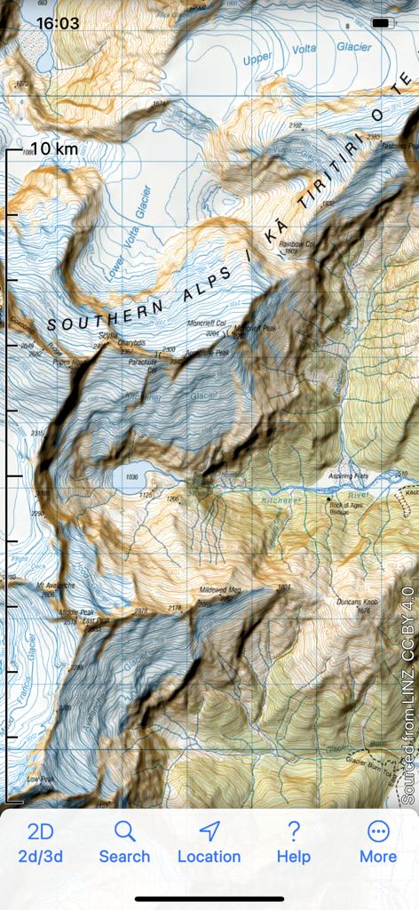
Detailed topographic map of the Southern Alps in New Zealand showing glaciers and terrain contours.
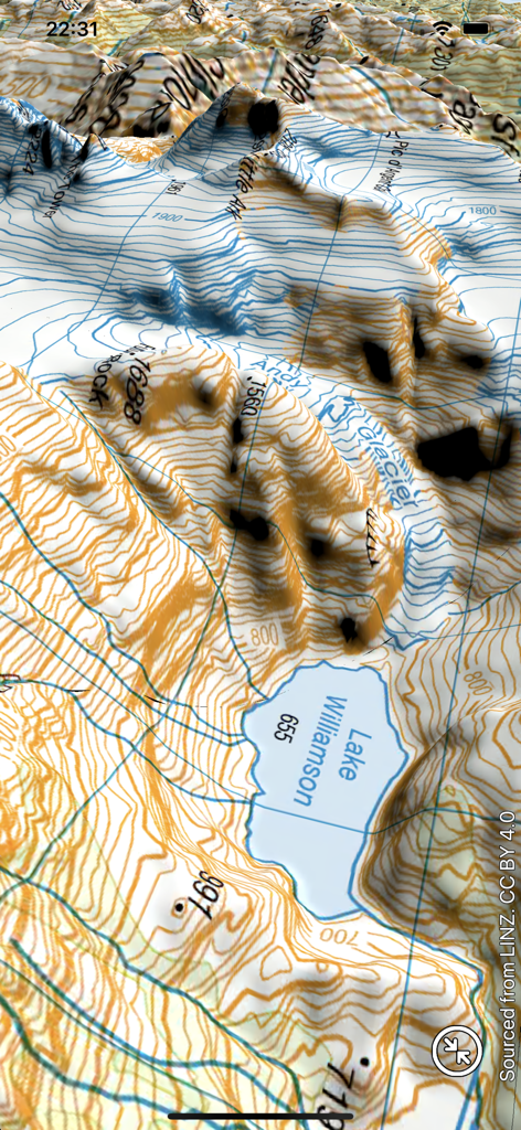
3D topographic map of Lake Williamson and surrounding mountains in New Zealand
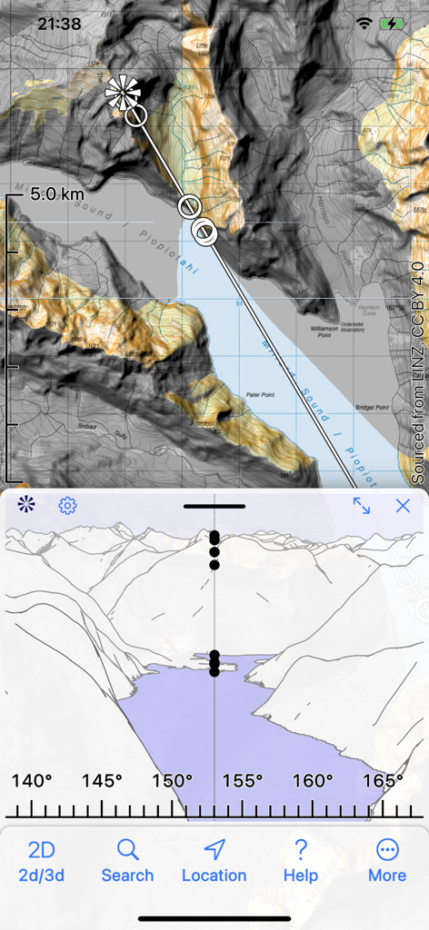
Topographical map and mountain panorama silhouette view of Milford Sound in the 3D Map New Zealand app
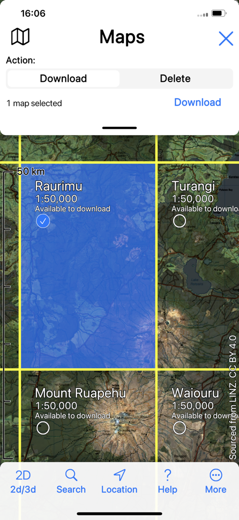
Offline topographic map download interface for New Zealand hiking locations
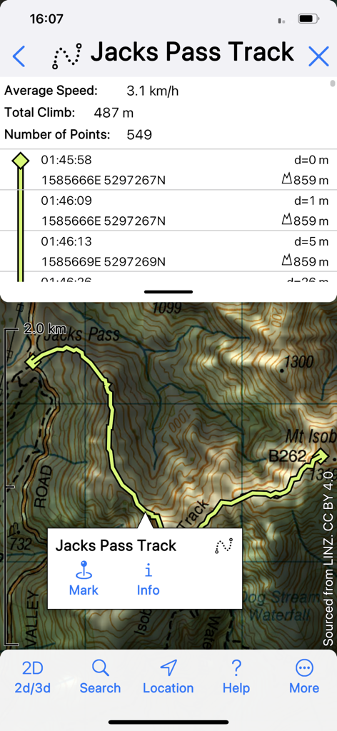
3D Map New Zealand app interface displaying GPS tracking data and topographic route for Jacks Pass Track.
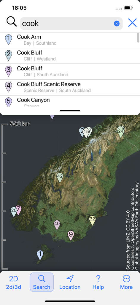
A search interface within the 3D Map New Zealand app showing geographic results for Cook and map markers on satellite imagery
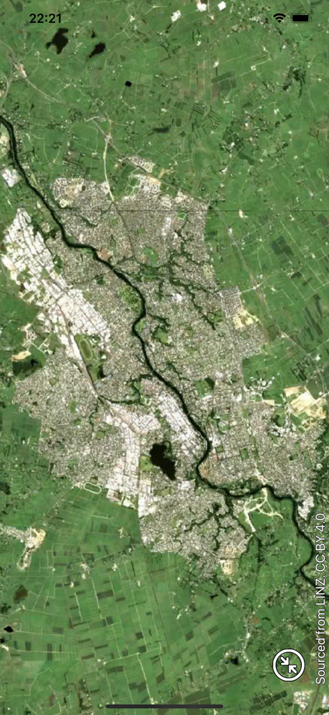
High resolution satellite imagery of a New Zealand city and river shown in the 3D Map NZ app
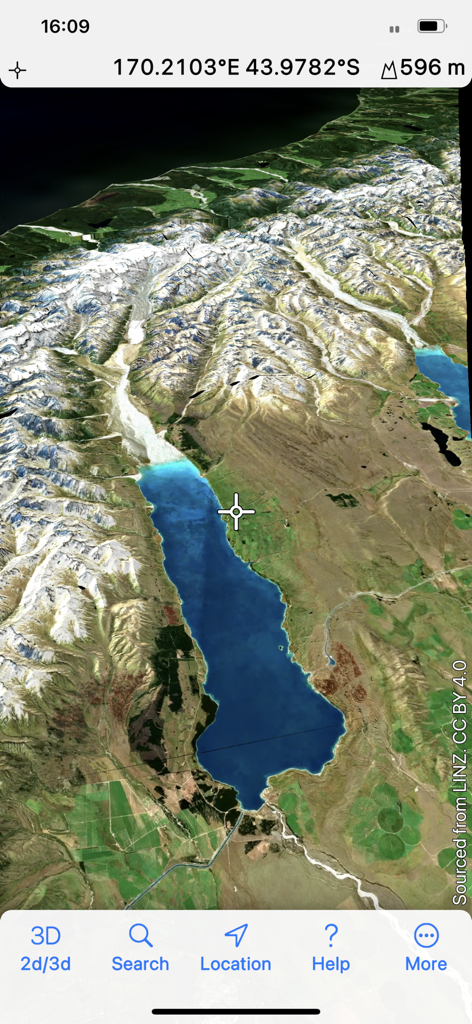
A 3D satellite map view of New Zealand mountains and a blue lake with geographical coordinates
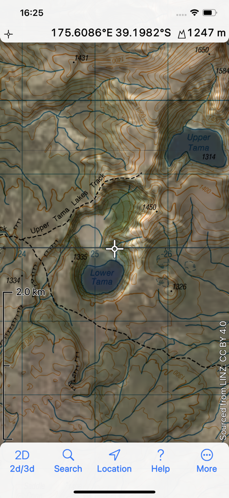
A topographic map showing the Tama Lakes track in New Zealand with elevation and coordinates.
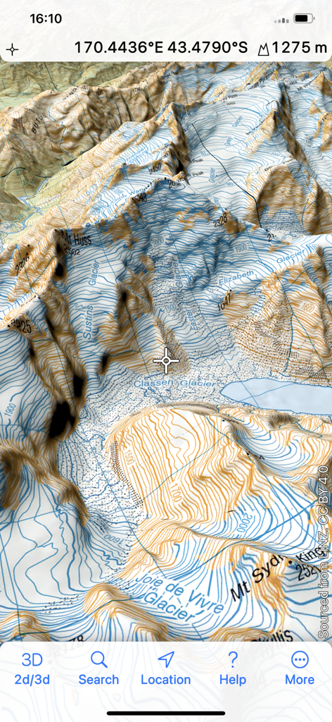
A 3D topographic map showing mountain peaks and glaciers in New Zealand
Description
Download
More Like This
Top-ranked apps in the same category

Google Maps
Google LLC

Waze Navigation & Live Traffic
waze

AMap Global
AutoNavi Information Technology Co. Ltd.

百度地图-路线规划,出行必备
Beijing Baidu Netcom Science & Technology Co.,Ltd

Moovit: Bus & Transit Tracker
Moovit App Global LTD

Transit • Subway & Bus Times
9280-0366 Quebec inc.

ParkMobile: Park. Pay. Go.
Parkmobile USA, Inc

腾讯地图-路线规划,导航地铁打车出行
Shenzhen Tencent Computer Systems Company Limited

Île-de-France Mobilités
Ile de France Mobilites
This page is not an official page of the app or its developer, but an independent editorial publication created for informational and commentary purposes. Unless expressly stated otherwise, neither the app nor its developer is affiliated with, endorsed by, sponsored by, authorized by, or otherwise officially connected with MWM, Apple, Google Play, the app publisher, or the app's developer, and nothing on this page implies that the app was developed using MWM's services. Any trademarks, logos, screenshots, and other content remain the property of their respective owners.