This page is not an official page of the app or its developer, but an independent editorial publication created for informational and commentary purposes. Unless expressly stated otherwise, neither the app nor its developer is affiliated with, endorsed by, sponsored by, authorized by, or otherwise officially connected with MWM, Apple, Google Play, the app publisher, or the app's developer, and nothing on this page implies that the app was developed using MWM's services. Any trademarks, logos, screenshots, and other content remain the property of their respective owners.

AeroVision7
Master every flight and recovery with professional-grade mapping, Apple Watch hands-free tracking, and offline satellite maps designed for the serious falconer and outdoorsman.
Downloads
50K+User Rating
Total Ratings
100Publisher
Category
NavigationLocales
8Latest Version
7.0.10Size
480.9 MBFirst Released
Apr 28, 2018Professional Field Telemetry Tools
AeroVision7 provides the precision and reliability required by serious falconers and outdoorsmen to track, recover, and analyze their animals with confidence.
Real-Time Precision Tracking
Monitor multiple tags simultaneously with live updates, ensuring you never lose sight of your bird or hound during a high-stakes hunt.
Hands-Free Field Awareness
Stay focused on your bird with Apple Watch and CarPlay integrations, allowing you to check distance and heading without dropping your gear.
The following screenshots and description are sourced directly from the app's official store listing and are the property of the app developer.
App Store
Screenshots
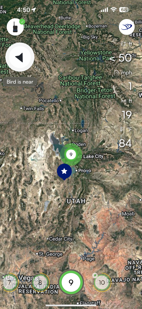
Satellite map interface of the AeroVision7 app showing live bird tracking and telemetry data in Utah.
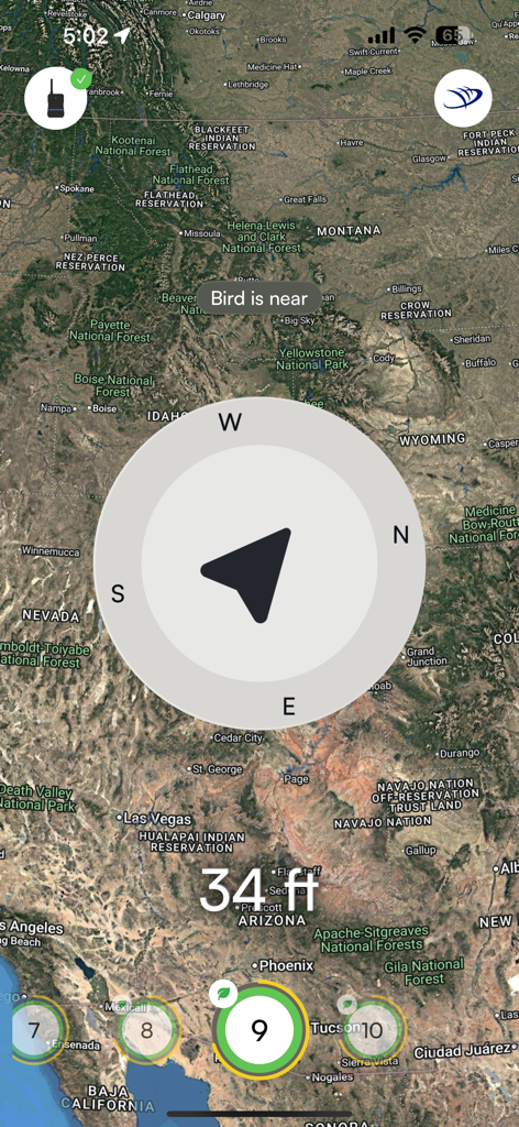
AeroVision7 app screenshot showing a satellite map of the Western USA with a large compass overlay and text indicating a bird is 34 feet away.
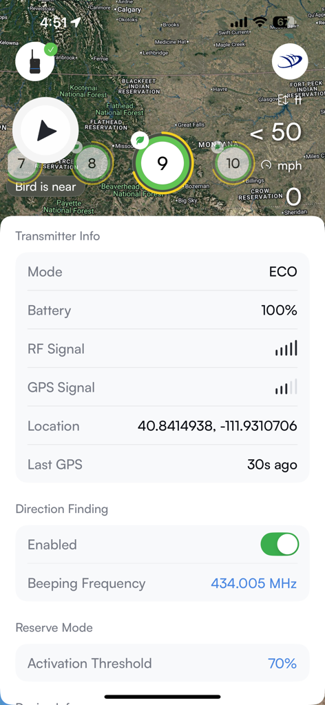
AeroVision7 app interface displaying GPS transmitter status and bird tracking location on a satellite map.
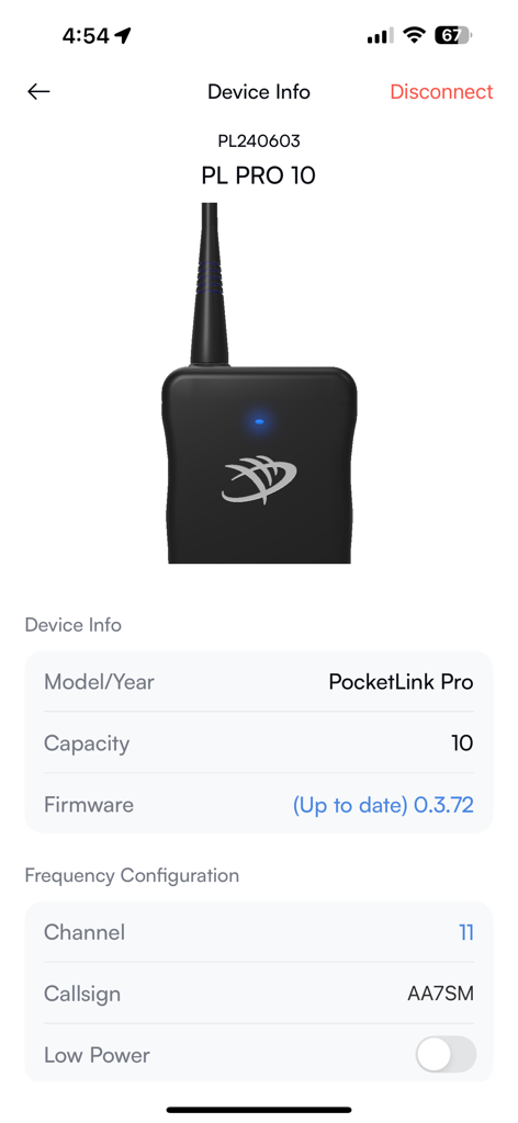
AeroVision7 app screenshot showing the Device Info page for a Marshall Radio PocketLink Pro GPS tracking system
Description
Download
More Like This
Apps with similar features and user experience

Garmin Messenger™
Garmin International

Tractive GPS for Dogs and Cats
tractive GmbH

Fi - GPS Dog Tracker
Barking Labs Corp.

aprs.fi
GainIO Oy

SafeAnchor.Net
Barkin Takmaz

Anchor Alarm / Watch
w&h GmbH

FollowMee GPS Location Tracker
FollowMee LLC

Halo Collar
Protect Animals With Satellites, LLC

Tracker - for dogs and outdoor
Natlink Oy
This page is not an official page of the app or its developer, but an independent editorial publication created for informational and commentary purposes. Unless expressly stated otherwise, neither the app nor its developer is affiliated with, endorsed by, sponsored by, authorized by, or otherwise officially connected with MWM, Apple, Google Play, the app publisher, or the app's developer, and nothing on this page implies that the app was developed using MWM's services. Any trademarks, logos, screenshots, and other content remain the property of their respective owners.