This page is not an official page of the app or its developer, but an independent editorial publication created for informational and commentary purposes. Unless expressly stated otherwise, neither the app nor its developer is affiliated with, endorsed by, sponsored by, authorized by, or otherwise officially connected with MWM, Apple, Google Play, the app publisher, or the app's developer, and nothing on this page implies that the app was developed using MWM's services. Any trademarks, logos, screenshots, and other content remain the property of their respective owners.

奥维地图
Turn your device into a high-precision toolkit for land measurement, route tracing, and spatial data management. Built for professionals and outdoor enthusiasts who demand accuracy.
Downloads
1M+User Rating
Total Ratings
400Publisher
Category
NavigationLocales
2Latest Version
1.5.2Size
64.7 MBFirst Released
Oct 29, 2020Precision Tools for Professional Exploration
Turn your smartphone into a high-precision surveying instrument with HD satellite positioning, area measurement, and advanced route tracking.
Professional Area Mapping
Calculate land coverage instantly on HD satellite maps and export spatial data via KML/KMZ for professional GIS reporting.
Advanced Route Tracing
Record off-grid trails with precise altitude data and location-tagged photography, perfect for overlanding and site scouting.
The following screenshots and description are sourced directly from the app's official store listing and are the property of the app developer.
App Store
Screenshots
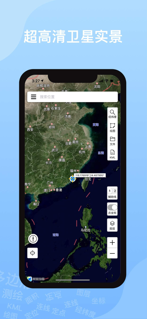
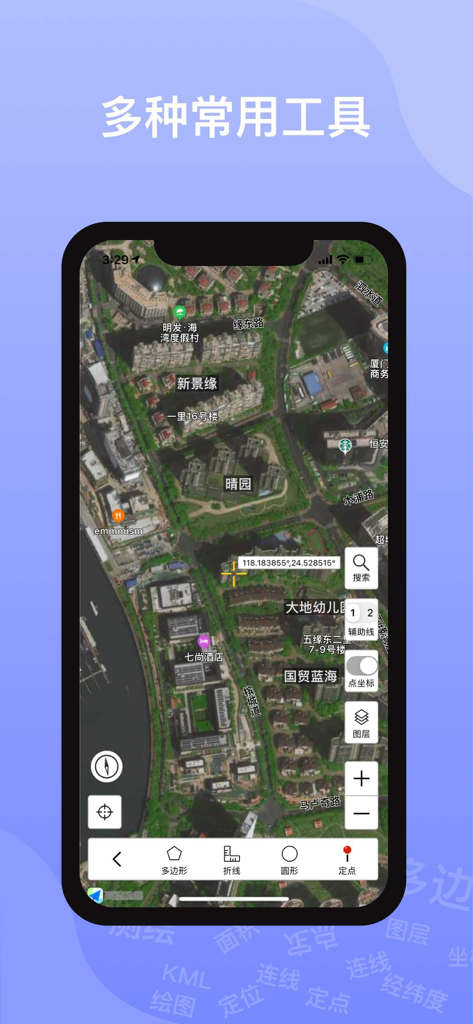
Ovital Map mobile app displaying high-definition satellite imagery and professional navigation tools
Ovital Map satellite view interface displaying geographic coordinates and measurement tools
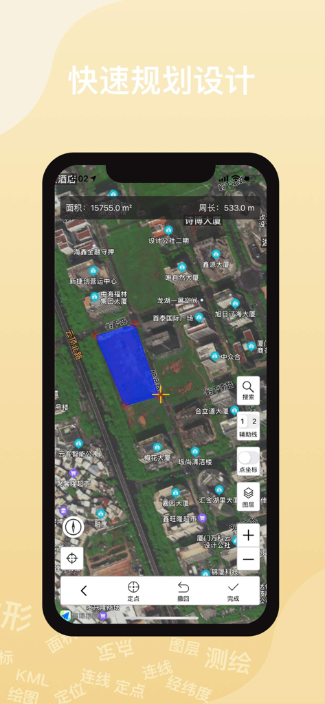
Ovital Map app interface measuring land area on a satellite map
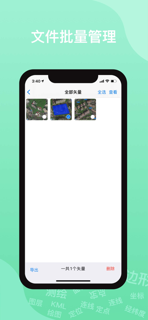
Batch file management interface in Ovital Map for exporting vector map data
Description
Download
More Like This
Top-ranked apps in the same category

Google Maps
Google LLC

Waze Navigation & Live Traffic
waze

AMap Global
AutoNavi Information Technology Co. Ltd.

百度地图-路线规划,出行必备
Beijing Baidu Netcom Science & Technology Co.,Ltd

Moovit: Bus & Transit Tracker
Moovit App Global LTD

Transit • Subway & Bus Times
9280-0366 Quebec inc.

ParkMobile: Park. Pay. Go.
Parkmobile USA, Inc

腾讯地图-路线规划,导航地铁打车出行
Shenzhen Tencent Computer Systems Company Limited

Île-de-France Mobilités
Ile de France Mobilites
This page is not an official page of the app or its developer, but an independent editorial publication created for informational and commentary purposes. Unless expressly stated otherwise, neither the app nor its developer is affiliated with, endorsed by, sponsored by, authorized by, or otherwise officially connected with MWM, Apple, Google Play, the app publisher, or the app's developer, and nothing on this page implies that the app was developed using MWM's services. Any trademarks, logos, screenshots, and other content remain the property of their respective owners.