This page is not an official page of the app or its developer, but an independent editorial publication created for informational and commentary purposes. Unless expressly stated otherwise, neither the app nor its developer is affiliated with, endorsed by, sponsored by, authorized by, or otherwise officially connected with MWM, Apple, Google Play, the app publisher, or the app's developer, and nothing on this page implies that the app was developed using MWM's services. Any trademarks, logos, screenshots, and other content remain the property of their respective owners.

เช็คน้ำ
Stay ahead of rising waters with precision geoinformatics and satellite-based monitoring. Track flood-prone areas in real time to safeguard your property and community.
Downloads
23K+User Rating
Total Ratings
0Publisher
Category
WeatherLocales
1Latest Version
1.2.6Size
50.6 MBFirst Released
Oct 19, 2022Precision Flood Monitoring from Space
Stay ahead of rising waters with real-time satellite data and predictive geoinformatics designed to protect your home, land, and assets.
Real-Time Satellite Tracking
Access live ground truth data. See exactly where standing water is moving in your area with high-resolution imagery updated around the clock.
Predictive Risk Assessment
Don't just react—anticipate. Our advanced geoinformatics forecast potential flood zones, giving you the critical time needed to secure your property.
The following screenshots and description are sourced directly from the app's official store listing and are the property of the app developer.
App Store
Screenshots
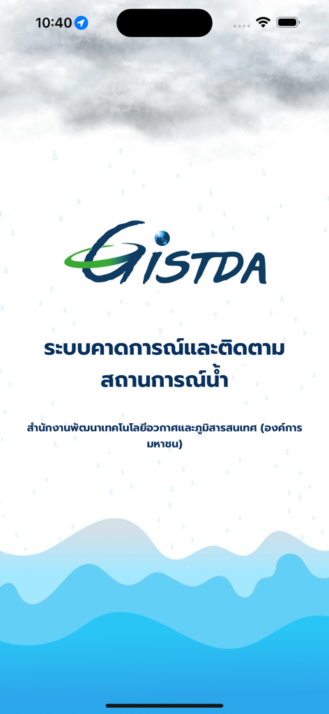
Splash screen of the GISTDA Check Nam app showing the agency logo and Thai text for water monitoring system over a rainy and wavy background
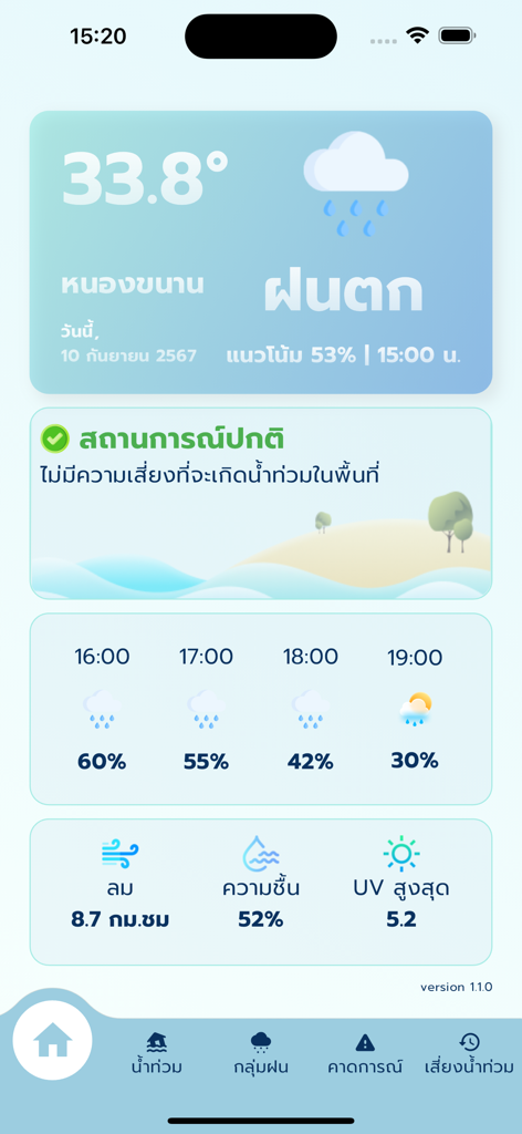
Mobile app interface showing current temperature hourly rain forecast and flood risk status
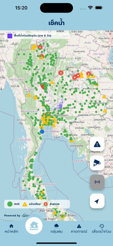
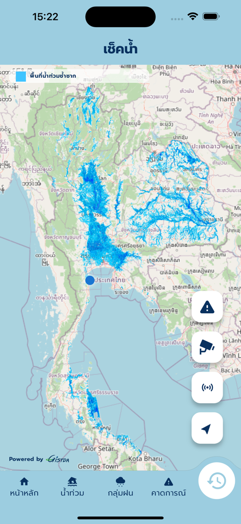
Check Nam app interface showing a real-time satellite flood monitoring map with status markers across Thailand
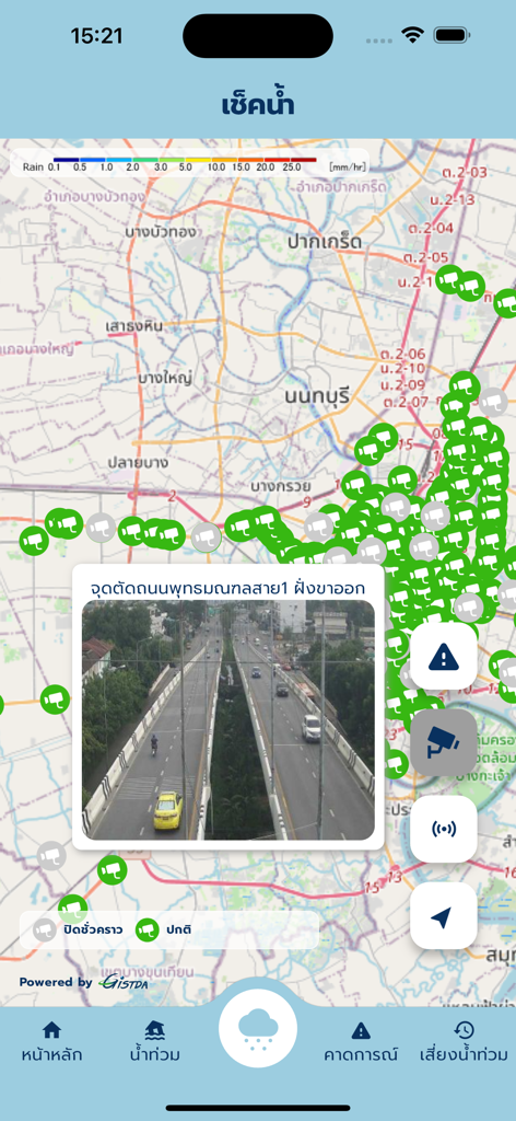
Real-time map with traffic camera feed and flood monitoring data in the Check Nam app.
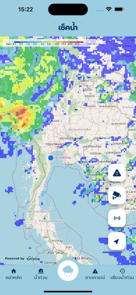
Real time rain radar and satellite flood monitoring map for Thailand
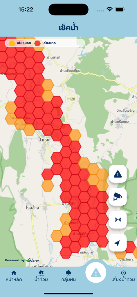
Satellite-based flood risk map with hexagonal heatmap showing high risk areas in red
A mobile app interface showing a real-time satellite map of flood risk areas in Thailand.
Description
Download
More Like This
Apps with similar features and user experience

Watch Duty: Wildfire Maps
Sherwood Forestry Service, Inc.

My Hurricane Tracker & Alerts
JRustonApps B.V.

Air Quality & Pollen - AirCare
AirCare Data, Inc.

My Hurricane Tracker Pro
JRustonApps B.V.

SharkSmart
NSW Trade & Investment, Regional Infrastructure & Services

Dorsal Shark Reports
Bluebottle Digital Pty. Ltd.

global storms
Kelly Technology Inc.

My AQI Air Quality & Pollution
Jean Baptiste Stevenard

Solar Alert: Protect your Life
Genial LLC
This page is not an official page of the app or its developer, but an independent editorial publication created for informational and commentary purposes. Unless expressly stated otherwise, neither the app nor its developer is affiliated with, endorsed by, sponsored by, authorized by, or otherwise officially connected with MWM, Apple, Google Play, the app publisher, or the app's developer, and nothing on this page implies that the app was developed using MWM's services. Any trademarks, logos, screenshots, and other content remain the property of their respective owners.