This page is not an official page of the app or its developer, but an independent editorial publication created for informational and commentary purposes. Unless expressly stated otherwise, neither the app nor its developer is affiliated with, endorsed by, sponsored by, authorized by, or otherwise officially connected with MWM, Apple, Google Play, the app publisher, or the app's developer, and nothing on this page implies that the app was developed using MWM's services. Any trademarks, logos, screenshots, and other content remain the property of their respective owners.

Atlantic Hurricane Tracker
Harness real-time data from the NHC, NOAA, and NWS. Protect your assets with interactive mapping, live wave height data, and precise wind patterns designed for homeowners and mariners.
Downloads
147K+User Rating
Total Ratings
0Publisher
Category
WeatherLocales
1Latest Version
6.3Size
6.6 MBFirst Released
Oct 10, 2015Stay Ahead of the Storm with Professional-Grade Tracking
Protect your property and family using real-time data from the NHC and NOAA. From hurricane tracks to surface wind patterns, get the analytical tools you need to make informed safety decisions.
Interactive Precision Mapping
Track hurricanes and tropical depressions on a detailed interactive map. Compare your GPS location to the 'Cone of Uncertainty' to visualize potential impacts on your home or business.
Official NOAA & NHC Data
Skip the sensationalism of news reports. Access raw, high-authority data feeds directly from the National Hurricane Center and NWS for the most reliable forecasts available.
The following screenshots and description are sourced directly from the app's official store listing and are the property of the app developer.
App Store
Screenshots
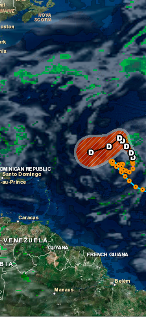
Interactive map of the Atlantic Ocean showing a hurricane path and cloud cover data
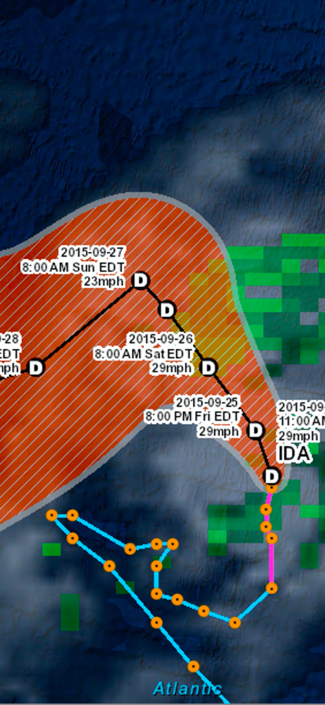
Interactive map showing the projected path and wind speed of Tropical Depression Ida
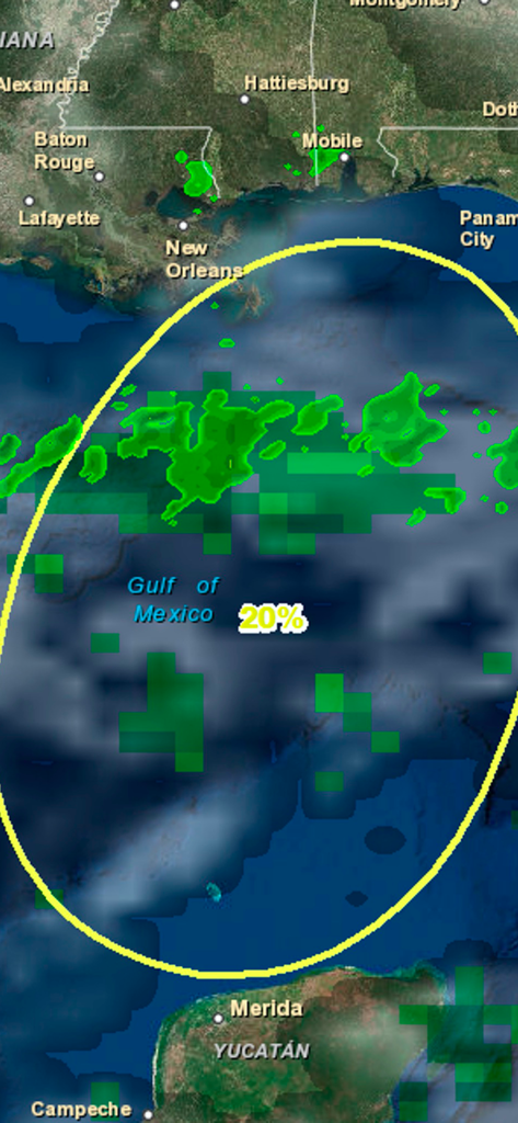
Atlantic Hurricane Tracker app showing a 20 percent chance of tropical development in the Gulf of Mexico with satellite imagery and cloud cover.
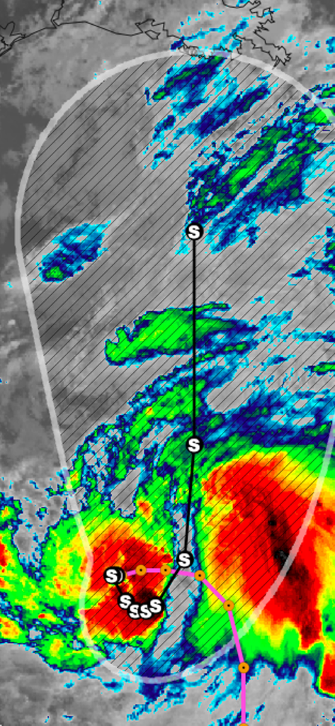
Interactive weather map showing a hurricane path with radar intensity and a cone of uncertainty
Description
Download
More Like This
Top-ranked apps in the same category

墨迹天气-MojiWeather
Beijing MojiFengyun Technology Co.,Ltd.

The Weather Channel - Radar
The Weather Channel

Windy.com
Windyty, SE

天气预报-精准15日天气预报
Chongqing Caochen Technology Co., Ltd.

My Aurora Forecast & Alerts
JRustonApps B.V.

AccuWeather: Weather Forecast
AccuWeather International, Inc.

Weather & Radar - Storm radar
WetterOnline - Meteorologische Dienstleistungen GmbH

天气通
Weibo Internet Technology (China) Co.Ltd.

The Thermometer -Digital-
Vida Apps Incorporated
This page is not an official page of the app or its developer, but an independent editorial publication created for informational and commentary purposes. Unless expressly stated otherwise, neither the app nor its developer is affiliated with, endorsed by, sponsored by, authorized by, or otherwise officially connected with MWM, Apple, Google Play, the app publisher, or the app's developer, and nothing on this page implies that the app was developed using MWM's services. Any trademarks, logos, screenshots, and other content remain the property of their respective owners.