This page is not an official page of the app or its developer, but an independent editorial publication created for informational and commentary purposes. Unless expressly stated otherwise, neither the app nor its developer is affiliated with, endorsed by, sponsored by, authorized by, or otherwise officially connected with MWM, Apple, Google Play, the app publisher, or the app's developer, and nothing on this page implies that the app was developed using MWM's services. Any trademarks, logos, screenshots, and other content remain the property of their respective owners.

Auravant Fields
Empower your farming operation with HD satellite monitoring, advanced prescription mapping, and data-driven insights to optimize every acre and reduce input costs—all in one offline-ready platform.
Downloads
100+User Rating
Total Ratings
0Publisher
Category
NavigationLocales
1Latest Version
3.21.35Size
37.2 MBFirst Released
Jan 10, 2026Maximize Every Acre with Precision Ag
Empower your farming operation with high-resolution satellite data, cost tracking, and smart prescription maps designed for the modern producer.
HD Satellite Insights
Monitor crop health with indices 10x sharper than standard imagery, updated every 48 hours for real-time scouting.
Precision Prescription Maps
Automatically generate variable-rate application maps to optimize fertilizer and seed placement for maximum ROI.
The following screenshots and description are sourced directly from the app's official store listing and are the property of the app developer.
App Store
Screenshots
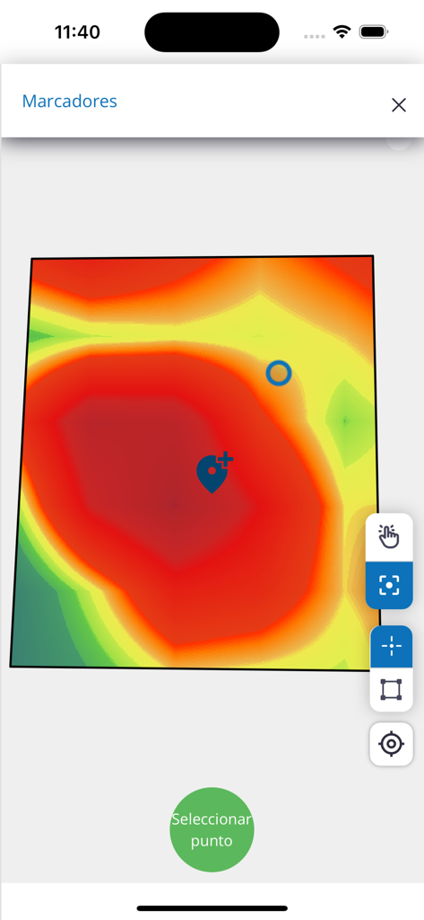
Heatmap of an agricultural field with a scouting marker in the Auravant Fields app.
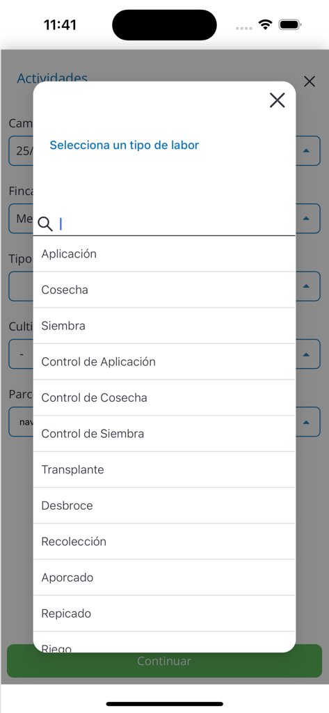
Selection menu for agricultural tasks like harvest and sowing in the Auravant Fields app
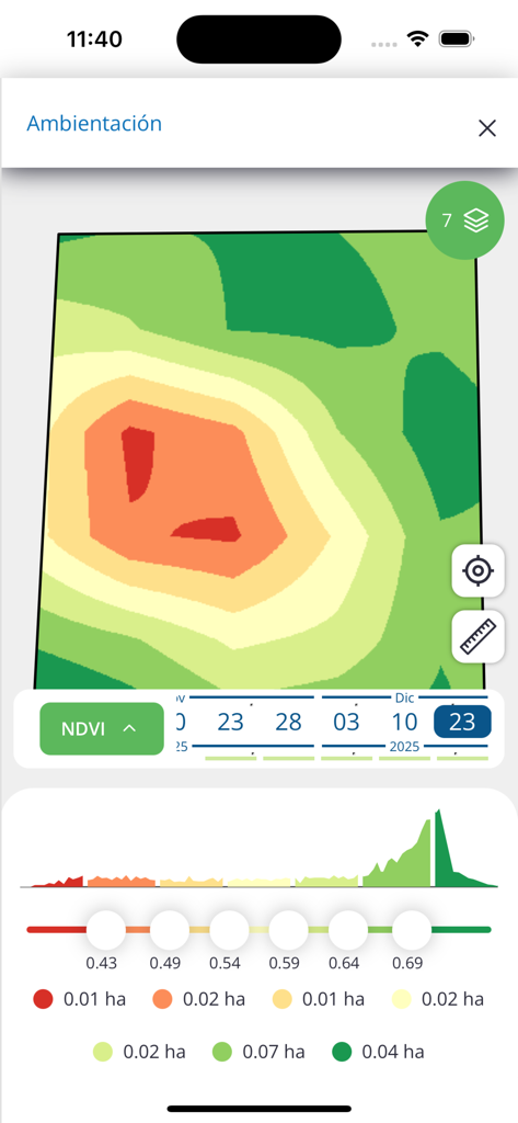
Auravant Fields mobile app displaying a vegetation index map for precision farm management
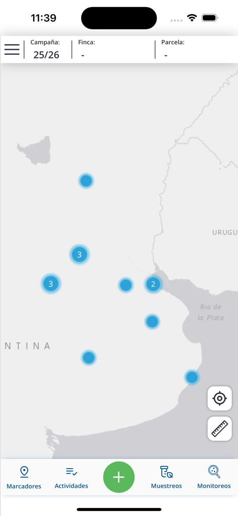
Map interface of the Auravant Fields app displaying field locations and monitoring tools
Description
Download
More Like This
Top-ranked apps in the same category

Google Maps
Google LLC

AMap Global
AutoNavi Information Technology Co. Ltd.

Waze Navigation & Live Traffic
waze

百度地图-路线规划,出行必备
Beijing Baidu Netcom Science & Technology Co.,Ltd

Moovit: Bus & Transit Tracker
Moovit App Global LTD

腾讯地图-路线规划,导航地铁打车出行
Shenzhen Tencent Computer Systems Company Limited

Transit • Subway & Bus Times
9280-0366 Quebec inc.

ParkMobile: Park. Pay. Go.
Parkmobile USA, Inc

NAVER Maps, Navigation
NAVER Corp.
This page is not an official page of the app or its developer, but an independent editorial publication created for informational and commentary purposes. Unless expressly stated otherwise, neither the app nor its developer is affiliated with, endorsed by, sponsored by, authorized by, or otherwise officially connected with MWM, Apple, Google Play, the app publisher, or the app's developer, and nothing on this page implies that the app was developed using MWM's services. Any trademarks, logos, screenshots, and other content remain the property of their respective owners.