This page is not an official page of the app or its developer, but an independent editorial publication created for informational and commentary purposes. Unless expressly stated otherwise, neither the app nor its developer is affiliated with, endorsed by, sponsored by, authorized by, or otherwise officially connected with MWM, Apple, Google Play, the app publisher, or the app's developer, and nothing on this page implies that the app was developed using MWM's services. Any trademarks, logos, screenshots, and other content remain the property of their respective owners.

Geo Elevation: Path Analyzer
Master the terrain with interactive elevation profiles and professional-grade data. Plan your next hike, ride, or adventure with precision across iPhone, Mac, and Vision Pro.
Downloads
51K+User Rating
Total Ratings
100Publisher
Category
NavigationLocales
-Latest Version
1.6Size
4.3 MBFirst Released
Mar 24, 2012Master Every Incline Before You Go
Turn map data into actionable insights. Whether you are planning a challenging summit or a scenic bike ride, Geo Elevation provides the high-fidelity terrain profiles you need to explore with confidence.
Visual Path Analysis
Say goodbye to confusing contour lines. Draw your route and see a real-time elevation chart that highlights every peak and valley along your journey.
Seamless Apple Integration
Designed for your lifestyle. Plan on your Mac, visualize in spatial 3D on Vision Pro, and carry your elevation data in your pocket on iPhone.
The following screenshots and description are sourced directly from the app's official store listing and are the property of the app developer.
App Store
Screenshots
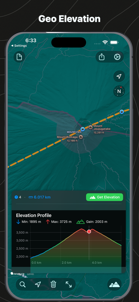
Interface showing a map of Mount Fuji and a corresponding elevation profile chart
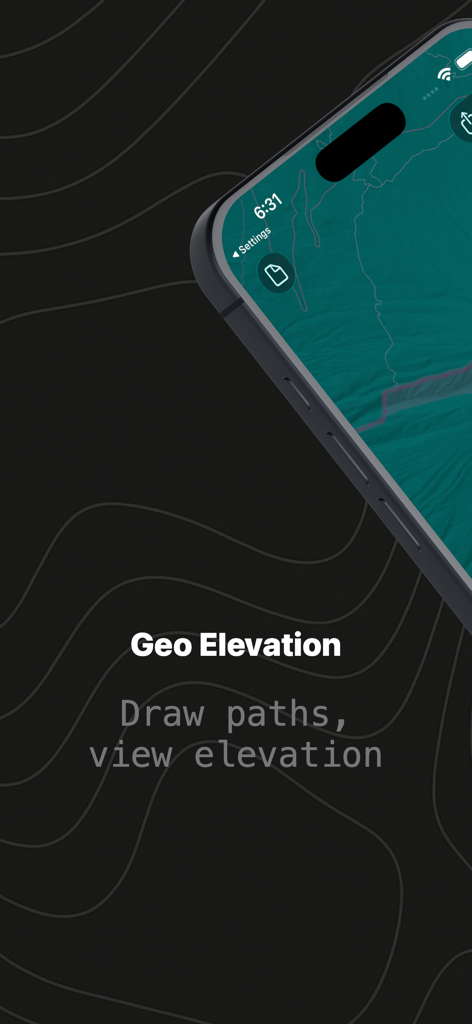
Geo Elevation app splash screen showing a path drawn on a map with topographical background
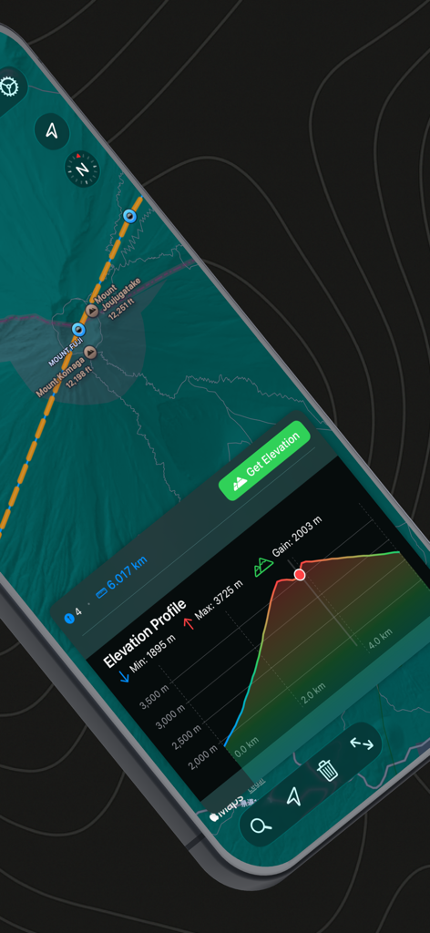
Elevation profile and map view of Mount Fuji in the Geo Elevation app
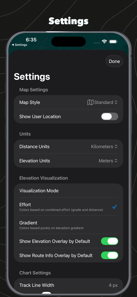
Settings menu of the Geo Elevation app showing map style unit preferences and elevation visualization options.
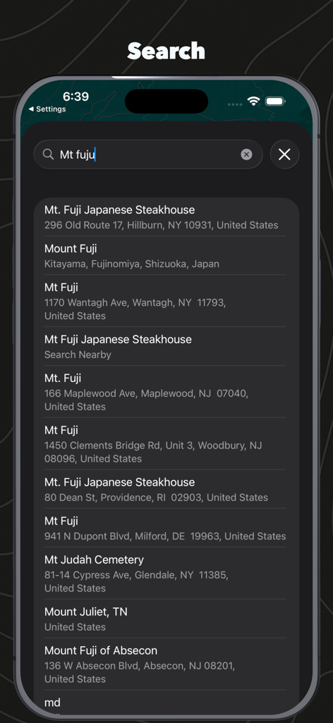
Location search interface in Geo Elevation Path Analyzer showing results for Mt Fuji
Description
Download
More Like This
Top-ranked apps in the same category

Google Maps
Google LLC

Waze Navigation & Live Traffic
waze

AMap Global
AutoNavi Information Technology Co. Ltd.

百度地图-路线规划,出行必备
Beijing Baidu Netcom Science & Technology Co.,Ltd

Moovit: Bus & Transit Tracker
Moovit App Global LTD

Transit • Subway & Bus Times
9280-0366 Quebec inc.

ParkMobile: Park. Pay. Go.
Parkmobile USA, Inc

腾讯地图-路线规划,导航地铁打车出行
Shenzhen Tencent Computer Systems Company Limited

Île-de-France Mobilités
Ile de France Mobilites
This page is not an official page of the app or its developer, but an independent editorial publication created for informational and commentary purposes. Unless expressly stated otherwise, neither the app nor its developer is affiliated with, endorsed by, sponsored by, authorized by, or otherwise officially connected with MWM, Apple, Google Play, the app publisher, or the app's developer, and nothing on this page implies that the app was developed using MWM's services. Any trademarks, logos, screenshots, and other content remain the property of their respective owners.