This page is not an official page of the app or its developer, but an independent editorial publication created for informational and commentary purposes. Unless expressly stated otherwise, neither the app nor its developer is affiliated with, endorsed by, sponsored by, authorized by, or otherwise officially connected with MWM, Apple, Google Play, the app publisher, or the app's developer, and nothing on this page implies that the app was developed using MWM's services. Any trademarks, logos, screenshots, and other content remain the property of their respective owners.

GPS Map Coordinates Locations
Calculate land area, find exact latitude and longitude, and navigate with terrain-ready precision. The ultimate all-in-one utility for real estate, surveying, and high-stakes outdoor navigation.
Downloads
9K+User Rating
Total Ratings
100Publisher
Category
NavigationLocales
18Latest Version
1.0Size
98.1 MBFirst Released
Feb 9, 2025Professional-Grade Mapping Tools
Empower your field work and outdoor adventures with high-precision GPS data, advanced land measurement tools, and immersive 360° imagery.
Pinpoint Precision Coordinates
Instantly retrieve exact latitude and longitude for any location, perfect for remote scouting where street addresses don't exist.
Instant Land Area Calculator
Measure acreage and lot boundaries on the fly with professional-grade accuracy using manual or point-of-interest methods.
The following screenshots and description are sourced directly from the app's official store listing and are the property of the app developer.
App Store
Screenshots
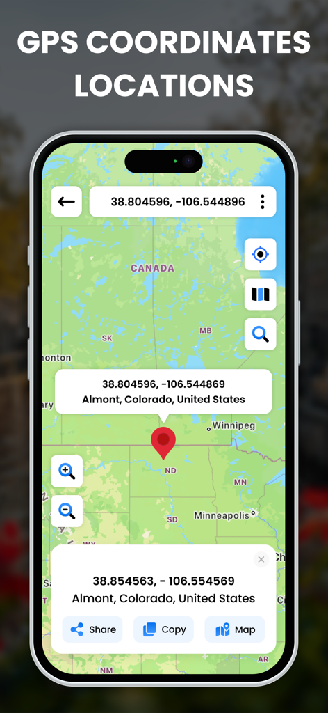
Interface of GPS Map Coordinates Locations app showing a pinned location with latitude and longitude data on a map.
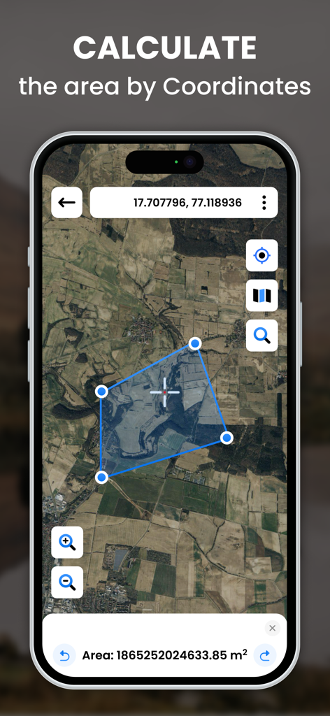
A smartphone showing the land area calculation tool in the GPS Map Coordinates app with a satellite view of rural land.

Smartphone screen showing the split screen interface with a street map and a 360 degree street view imagery
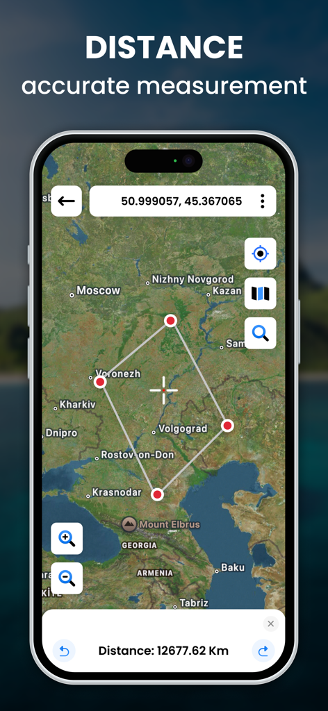
GPS app interface displaying distance measurement on a satellite map with coordinates
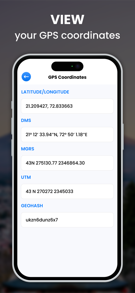
A mobile app screen displaying GPS coordinates in Latitude Longitude DMS UTM and Geohash formats.
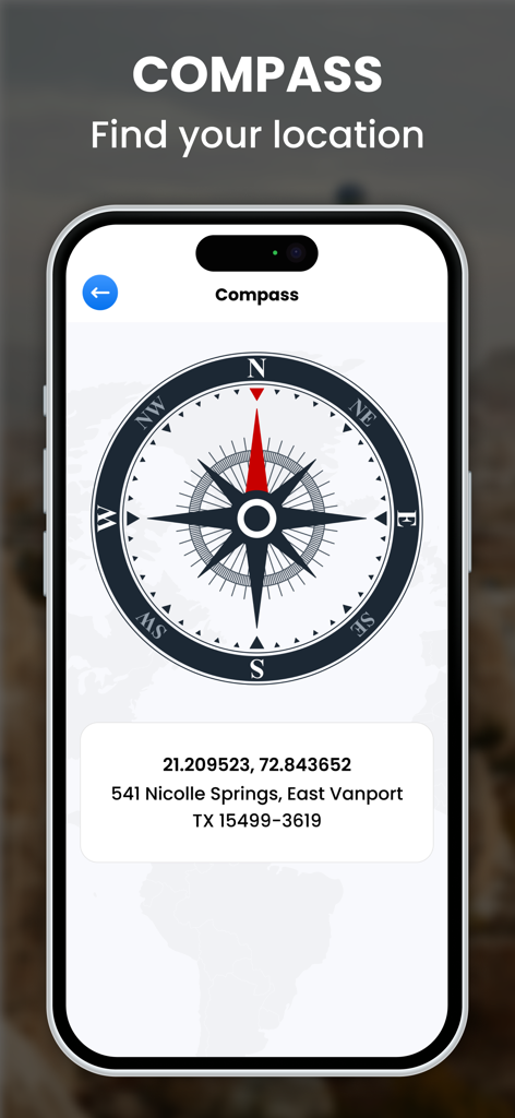
iPhone screen displaying a digital compass tool with precise latitude and longitude coordinates and a physical address in Texas.
Description
Download
More Like This
Top-ranked apps in the same category

Google Maps
Google LLC

Waze Navigation & Live Traffic
waze

AMap Global
AutoNavi Information Technology Co. Ltd.

百度地图-路线规划,出行必备
Beijing Baidu Netcom Science & Technology Co.,Ltd

Moovit: Bus & Transit Tracker
Moovit App Global LTD

Transit • Subway & Bus Times
9280-0366 Quebec inc.

ParkMobile: Park. Pay. Go.
Parkmobile USA, Inc

腾讯地图-路线规划,导航地铁打车出行
Shenzhen Tencent Computer Systems Company Limited

Île-de-France Mobilités
Ile de France Mobilites
This page is not an official page of the app or its developer, but an independent editorial publication created for informational and commentary purposes. Unless expressly stated otherwise, neither the app nor its developer is affiliated with, endorsed by, sponsored by, authorized by, or otherwise officially connected with MWM, Apple, Google Play, the app publisher, or the app's developer, and nothing on this page implies that the app was developed using MWM's services. Any trademarks, logos, screenshots, and other content remain the property of their respective owners.