This page is not an official page of the app or its developer, but an independent editorial publication created for informational and commentary purposes. Unless expressly stated otherwise, neither the app nor its developer is affiliated with, endorsed by, sponsored by, authorized by, or otherwise officially connected with MWM, Apple, Google Play, the app publisher, or the app's developer, and nothing on this page implies that the app was developed using MWM's services. Any trademarks, logos, screenshots, and other content remain the property of their respective owners.

Hurricane Track+ Storm Tracker
Master the storm with professional-grade GOES-19 tracking, 3D Earth visualizations, and real-time hazard alerts—completely ad-free for uninterrupted safety.
Downloads
164K+User Rating
Total Ratings
0Publisher
Category
WeatherLocales
1Latest Version
3.5.0Size
22.2 MBFirst Released
Aug 7, 2012Professional-Grade Hurricane Intelligence
Equip yourself with the same tools used by meteorologists. Get real-time satellite data, predictive modeling, and zero-distraction alerts to protect your family and property during storm season.
Hyper-Local NEXRAD Radar
Access high-resolution 'next-generation radar' and GOES-19 satellite imagery for professional-grade accuracy in your specific location.
5-Day Predictive Pathing
Stay ahead of the surge with projected storm paths and hourly hazard warnings for tornadoes, floods, and high tides.
The following screenshots and description are sourced directly from the app's official store listing and are the property of the app developer.
App Store
Screenshots
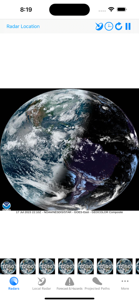
Hurricane Track plus app interface showing a 3D Earth globe with real time GOES satellite cloud imagery
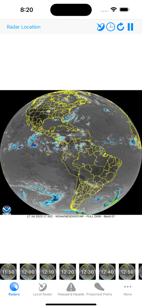
Hurricane Track plus app displaying a full disk satellite radar view of North and South America.
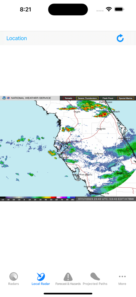
A local radar map of Florida showing storm intensity and NEXRAD weather data in the Hurricane Track plus app.
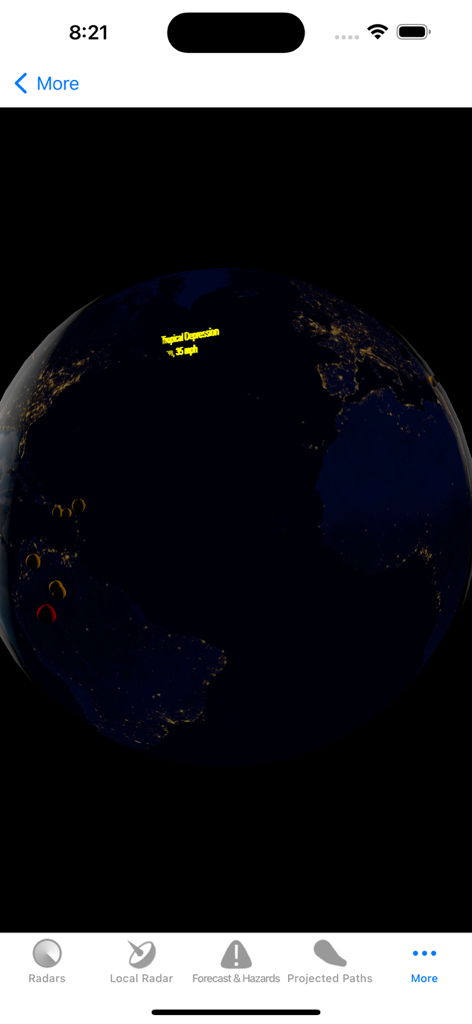
3D Earth globe displaying a tropical depression and storm tracking data
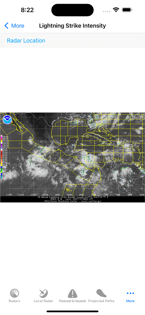
Satellite map interface showing real-time lightning strike intensity in the Caribbean and Gulf of Mexico.
Description
Download
More Like This
Top-ranked apps in the same category

墨迹天气-MojiWeather
Beijing MojiFengyun Technology Co.,Ltd.

The Weather Channel - Radar
The Weather Channel

Windy.com
Windyty, SE

天气预报-精准15日天气预报
Chongqing Caochen Technology Co., Ltd.

My Aurora Forecast & Alerts
JRustonApps B.V.

AccuWeather: Weather Forecast
AccuWeather International, Inc.

Weather & Radar - Storm radar
WetterOnline - Meteorologische Dienstleistungen GmbH

天气通
Weibo Internet Technology (China) Co.Ltd.

The Thermometer -Digital-
Vida Apps Incorporated
This page is not an official page of the app or its developer, but an independent editorial publication created for informational and commentary purposes. Unless expressly stated otherwise, neither the app nor its developer is affiliated with, endorsed by, sponsored by, authorized by, or otherwise officially connected with MWM, Apple, Google Play, the app publisher, or the app's developer, and nothing on this page implies that the app was developed using MWM's services. Any trademarks, logos, screenshots, and other content remain the property of their respective owners.