This page is not an official page of the app or its developer, but an independent editorial publication created for informational and commentary purposes. Unless expressly stated otherwise, neither the app nor its developer is affiliated with, endorsed by, sponsored by, authorized by, or otherwise officially connected with MWM, Apple, Google Play, the app publisher, or the app's developer, and nothing on this page implies that the app was developed using MWM's services. Any trademarks, logos, screenshots, and other content remain the property of their respective owners.

Live Earth App
Unify IoT, traffic, and security feeds into one intuitive touchscreen interface. Make faster, data-driven decisions with synchronized live streams and instant geospatial replay.
Downloads
1K+User Rating
Total Ratings
0Publisher
Category
BusinessLocales
1Latest Version
1.6Size
9.9 MBFirst Released
May 10, 2018Complete Operational Visibility
Transform fragmented data into a single pane of glass. Live Earth synchronizes real-time feeds with an intuitive interface for faster, data-driven decision-making.
Unified Data Synchronization
Eliminate data silos by merging weather, traffic, IoT sensors, and live video into one cohesive, real-time geospatial map.
Instant Replay & Reconstruction
Rewind geospatial data using an interactive timeline to analyze past incidents and perform rapid forensic audits of critical events.
The following screenshots and description are sourced directly from the app's official store listing and are the property of the app developer.
App Store
Screenshots
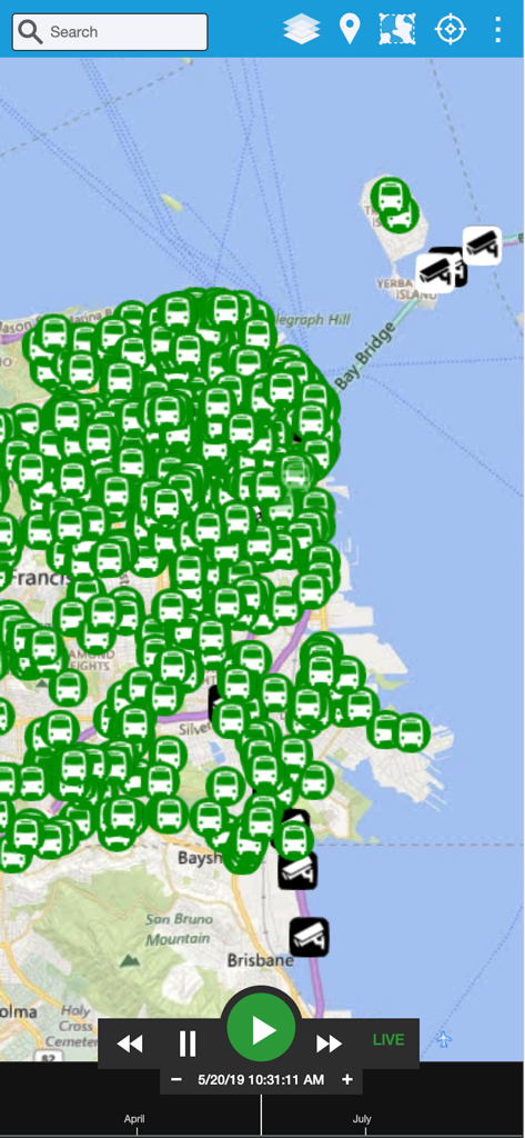
Real time data visualization map showing vehicle tracking and security camera locations in San Francisco with playback controls
Description
Download
More Like This
Top-ranked apps in the same category

Microsoft Teams
Microsoft Corporation

Zoom Workplace
Zoom Communications, Inc.

WhatsApp Business
WhatsApp Inc.

Indeed Job Search
Indeed Inc.

LinkedIn: Network & Job Finder
LinkedIn Corporation

Adobe Acrobat Reader: Sign PDF
Adobe Inc.

WeCom-Work Communication&Tools
Tencent Technology (Shenzhen) Company Limited

BOSS直聘-招聘求职找工作神器
Beijing China Product Bo Farce Network Technology Co., Ltd.

DingDing - Redefine Work in AI
DingTalk Technology Co., Ltd.
This page is not an official page of the app or its developer, but an independent editorial publication created for informational and commentary purposes. Unless expressly stated otherwise, neither the app nor its developer is affiliated with, endorsed by, sponsored by, authorized by, or otherwise officially connected with MWM, Apple, Google Play, the app publisher, or the app's developer, and nothing on this page implies that the app was developed using MWM's services. Any trademarks, logos, screenshots, and other content remain the property of their respective owners.