This page is not an official page of the app or its developer, but an independent editorial publication created for informational and commentary purposes. Unless expressly stated otherwise, neither the app nor its developer is affiliated with, endorsed by, sponsored by, authorized by, or otherwise officially connected with MWM, Apple, Google Play, the app publisher, or the app's developer, and nothing on this page implies that the app was developed using MWM's services. Any trademarks, logos, screenshots, and other content remain the property of their respective owners.

Map Elevation and Altitude Tool for Height Measure
Instantly find your height above sea level anywhere on Earth. A minimalist, lightweight tool for hikers, drone pilots, and outdoor enthusiasts who need quick elevation data without the bloat.
Downloads
95K+User Rating
Total Ratings
0Publisher
Category
NavigationLocales
7Latest Version
1.0.3Size
4.9 MBFirst Released
Mar 5, 2015Precision Altitude for Every Peak
Get accurate elevation data instantly. No accounts, no clutter—just the essential tools for hikers, drone pilots, and outdoor professionals.
Instant Pin-Drop Elevation
Tap any location on the map to see the exact height above sea level in seconds. No complex menus, just immediate data.
Customizable Units
Switch effortlessly between feet and meters to suit your professional needs, FAA drone regulations, or international travel.
The following screenshots and description are sourced directly from the app's official store listing and are the property of the app developer.
App Store
Screenshots
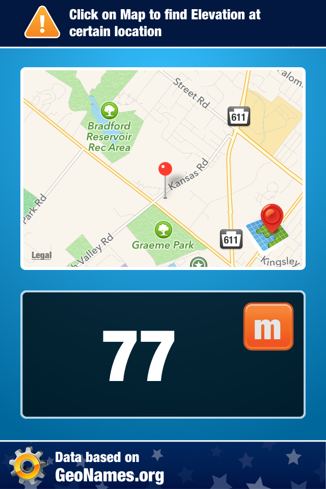
App interface showing a map pin drop and an elevation measurement of 77 meters.
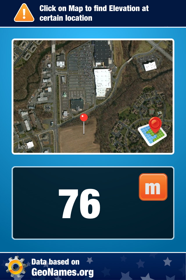
Satellite map view showing a pin drop with an elevation reading of 76 meters
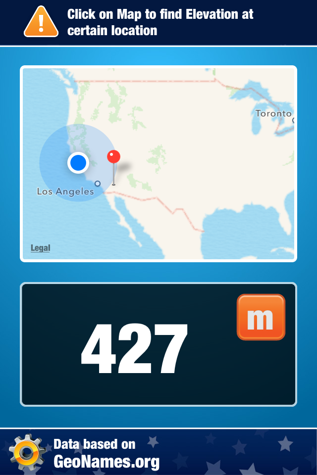
Interface showing map elevation of 427 meters at a pinned location
Description
Download
More Like This
Top-ranked apps in the same category

Google Maps
Google LLC

Waze Navigation & Live Traffic
waze

AMap Global
AutoNavi Information Technology Co. Ltd.

百度地图-路线规划,出行必备
Beijing Baidu Netcom Science & Technology Co.,Ltd

Moovit: Bus & Transit Tracker
Moovit App Global LTD

Transit • Subway & Bus Times
9280-0366 Quebec inc.

ParkMobile: Park. Pay. Go.
Parkmobile USA, Inc

腾讯地图-路线规划,导航地铁打车出行
Shenzhen Tencent Computer Systems Company Limited

Île-de-France Mobilités
Ile de France Mobilites
This page is not an official page of the app or its developer, but an independent editorial publication created for informational and commentary purposes. Unless expressly stated otherwise, neither the app nor its developer is affiliated with, endorsed by, sponsored by, authorized by, or otherwise officially connected with MWM, Apple, Google Play, the app publisher, or the app's developer, and nothing on this page implies that the app was developed using MWM's services. Any trademarks, logos, screenshots, and other content remain the property of their respective owners.