This page is not an official page of the app or its developer, but an independent editorial publication created for informational and commentary purposes. Unless expressly stated otherwise, neither the app nor its developer is affiliated with, endorsed by, sponsored by, authorized by, or otherwise officially connected with MWM, Apple, Google Play, the app publisher, or the app's developer, and nothing on this page implies that the app was developed using MWM's services. Any trademarks, logos, screenshots, and other content remain the property of their respective owners.

Mapas de Cantabria
Navigate beyond the tourist paths with official government data. Experience the Picos de Europa and the Green Coast with high-precision 3D views, GPX hiking tracks, and 100% offline reliability.
Downloads
0User Rating
Total Ratings
0Publisher
Category
TravelLocales
1Latest Version
4.0.4Size
101.1 MBFirst Released
May 31, 2016Explore Cantabria Like a Local Expert
The official government-grade tool for hikers, researchers, and adventure seekers—designed to guide you through Northern Spain's most hidden corners with or without a data connection.
Professional Trail Navigation
Import and export GPX files for your treks through the Picos de Europa, featuring real-time GPS tracking and immersive 3D terrain views.
100% Offline Capability
Download high-resolution base maps before you go. Navigate remote mountain passes and rural villages without worrying about roaming charges or lost signals.
The following screenshots and description are sourced directly from the app's official store listing and are the property of the app developer.
App Store
Screenshots
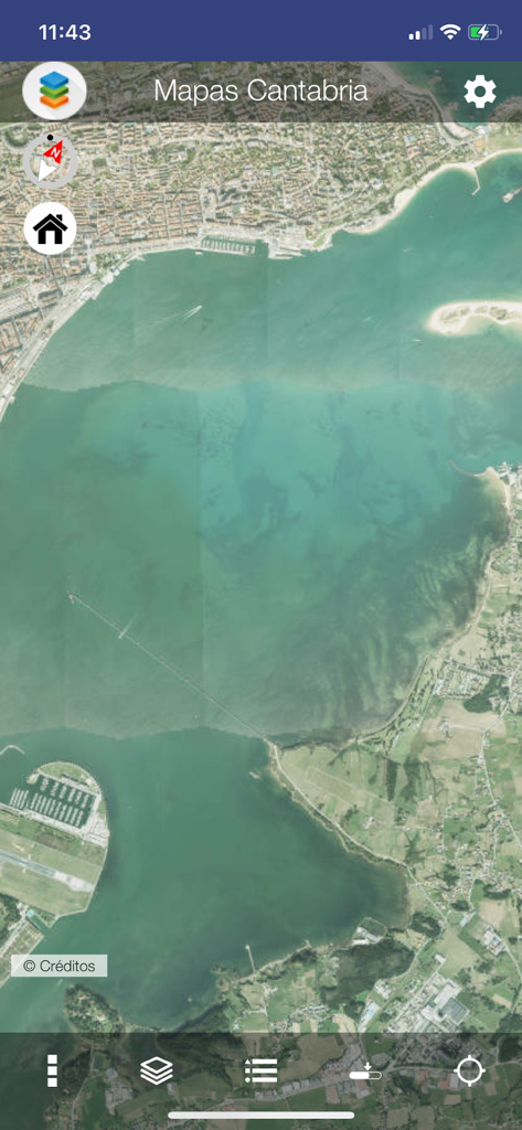
Satellite imagery of the Cantabrian coastline in the Mapas de Cantabria mobile app interface.
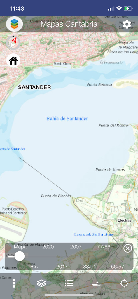
Screenshot of the Mapas de Cantabria app showing a detailed topographic map of the Bay of Santander and its surrounding coastline.
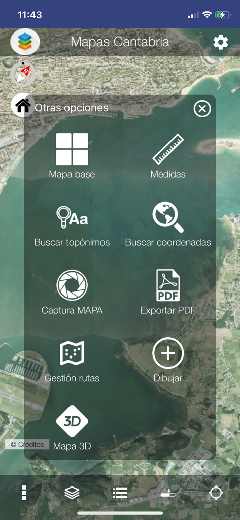
Main menu screen of Mapas de Cantabria app featuring options for 3D maps route management and coordinate searching
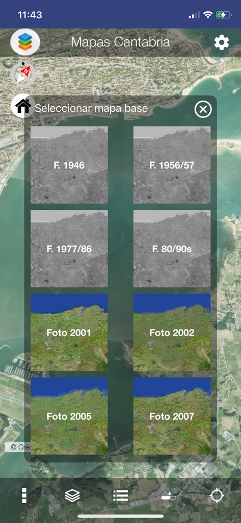
Selection menu for historical and modern aerial basemaps in the Mapas de Cantabria app
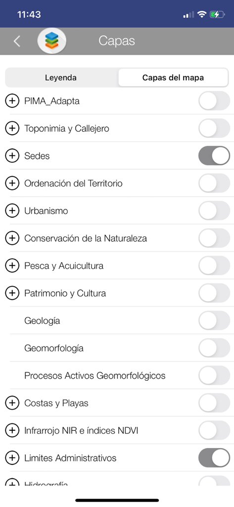
A mobile interface showing a list of selectable thematic map layers including geology urban planning and administrative boundaries in the Mapas de Cantabria app
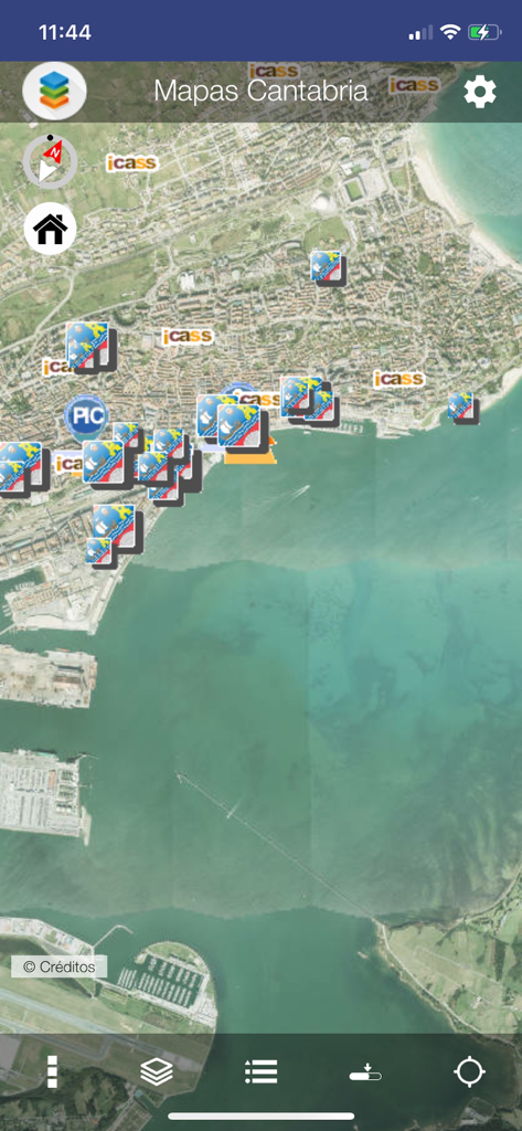
Satellite view of the Cantabria coast with thematic markers in the Mapas de Cantabria app
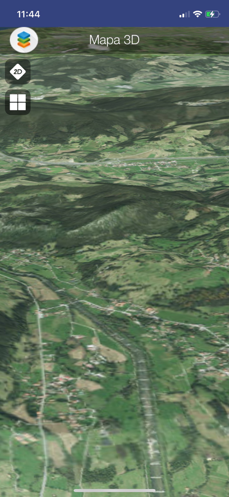
3D satellite map view showing the mountainous terrain in the Mapas de Cantabria app
Description
Download
More Like This
Top-ranked apps in the same category

Uber - Request a ride
Uber Technologies, Inc.

铁路12306
ACADEMY OF RAILWAY SCIENCES CO., ltd.

Airbnb
Airbnb, Inc.

Booking.com: Hotels & Travel
Booking.com B.V.

Grab: Taxi Ride, Food Delivery
GRABTAXI HOLDINGS PTE. LTD.

DiDi China: Ride Hailing
Didi Chuxing (Beijing) Network Platform Technology Co., Ltd

Bolt: Request a Ride
BOLT TECHNOLOGY OU

Trip.com: Book Flights, Hotels
Trip.com Travel Singapore Pte. Ltd.

携程旅行-订酒店机票火车票
Shanghai Ctrip Commerce Co.,Ltd
This page is not an official page of the app or its developer, but an independent editorial publication created for informational and commentary purposes. Unless expressly stated otherwise, neither the app nor its developer is affiliated with, endorsed by, sponsored by, authorized by, or otherwise officially connected with MWM, Apple, Google Play, the app publisher, or the app's developer, and nothing on this page implies that the app was developed using MWM's services. Any trademarks, logos, screenshots, and other content remain the property of their respective owners.