This page is not an official page of the app or its developer, but an independent editorial publication created for informational and commentary purposes. Unless expressly stated otherwise, neither the app nor its developer is affiliated with, endorsed by, sponsored by, authorized by, or otherwise officially connected with MWM, Apple, Google Play, the app publisher, or the app's developer, and nothing on this page implies that the app was developed using MWM's services. Any trademarks, logos, screenshots, and other content remain the property of their respective owners.

Metes and Bounds Pro
Empowering realtors, surveyors, and researchers to transform complex deed data into accurate visual plots. Calculate area, perimeter, and closing errors in the field using modern and historical units.
Downloads
12K+User Rating
Total Ratings
0Publisher
Category
BusinessLocales
1Latest Version
1.6.5Size
5.2 MBFirst Released
Oct 27, 2010Precision Mapping Tools for Property Professionals
Transform complex legal deed descriptions into clear, accurate visual plat drawings with professional-grade calculations.
Instant Plat Visualization
Turn text-based 'calls' into professional maps instantly, helping you visualize property boundaries while in the field.
Advanced Precision Analytics
Automatically calculate area, perimeter, and closing errors to verify the mathematical integrity of any legal description.
The following screenshots and description are sourced directly from the app's official store listing and are the property of the app developer.
App Store
Screenshots
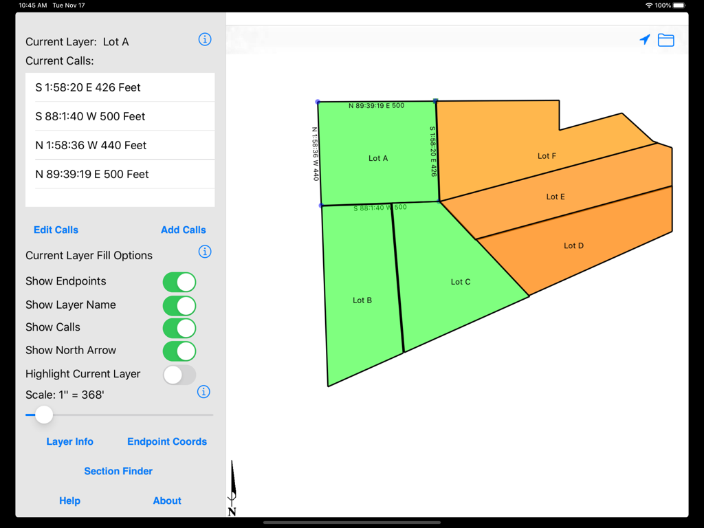
Metes and Bounds Pro app on iPad displaying multiple land lot drawings and survey calls
Description
Download
More Like This
Top-ranked apps in the same category

Microsoft Teams
Microsoft Corporation

Zoom Workplace
Zoom Communications, Inc.

WhatsApp Business
WhatsApp Inc.

Indeed Job Search
Indeed Inc.

LinkedIn: Network & Job Finder
LinkedIn Corporation

Adobe Acrobat Reader: Sign PDF
Adobe Inc.

WeCom-Work Communication&Tools
Tencent Technology (Shenzhen) Company Limited

BOSS直聘-招聘求职找工作神器
Beijing China Product Bo Farce Network Technology Co., Ltd.

DingDing - Redefine Work in AI
DingTalk Technology Co., Ltd.
This page is not an official page of the app or its developer, but an independent editorial publication created for informational and commentary purposes. Unless expressly stated otherwise, neither the app nor its developer is affiliated with, endorsed by, sponsored by, authorized by, or otherwise officially connected with MWM, Apple, Google Play, the app publisher, or the app's developer, and nothing on this page implies that the app was developed using MWM's services. Any trademarks, logos, screenshots, and other content remain the property of their respective owners.