This page is not an official page of the app or its developer, but an independent editorial publication created for informational and commentary purposes. Unless expressly stated otherwise, neither the app nor its developer is affiliated with, endorsed by, sponsored by, authorized by, or otherwise officially connected with MWM, Apple, Google Play, the app publisher, or the app's developer, and nothing on this page implies that the app was developed using MWM's services. Any trademarks, logos, screenshots, and other content remain the property of their respective owners.

Monolit2Go
Ditch the tourist traps and explore like a local. Access over 2,600 verified hiking and cycling routes with detailed topographic maps and full offline navigation—from the Julian Alps to the Adriatic coast.
Downloads
0User Rating
Total Ratings
0Publisher
Category
Health & FitnessLocales
1Latest Version
1.7.4Size
241.4 MBFirst Released
Jan 5, 2022Explore Slovenia with Local Confidence
From the Julian Alps to the Adriatic coast, access the most comprehensive outdoor guide designed for hikers, cyclists, and explorers seeking authentic adventures.
Authentic Topographic Maps
Navigate with precision using locally-produced maps detailing trail surfaces and elevation profiles for 2,600+ verified routes.
No Roaming? No Problem.
Download trails to your device and explore remote Alpine paths without worrying about data costs or cellular dead zones.
The following screenshots and description are sourced directly from the app's official store listing and are the property of the app developer.
App Store
Screenshots
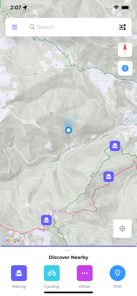
Monolit2Go mobile app showing a detailed topographic map with hiking and cycling trails and points of interest
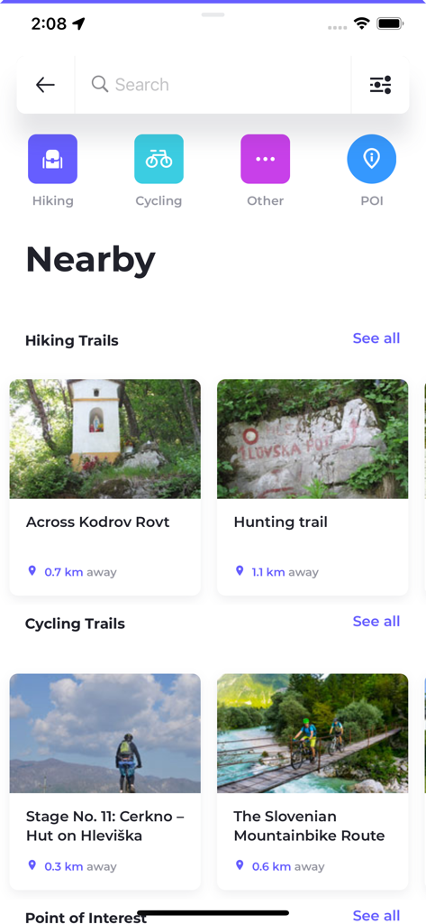
Monolit2Go app interface showing nearby hiking and cycling trails in Slovenia with distance indicators and activity categories
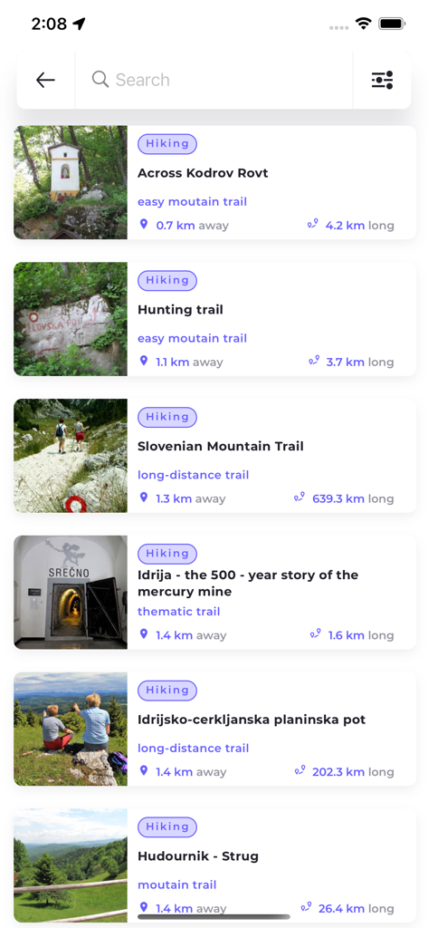
A list of various hiking trails in Slovenia featured on the Monolit2Go mobile application.
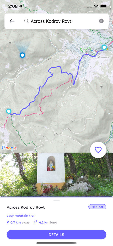
Monolit2Go app interface showing a topographic hiking trail map and route details for Kodrov Rovt in Slovenia.
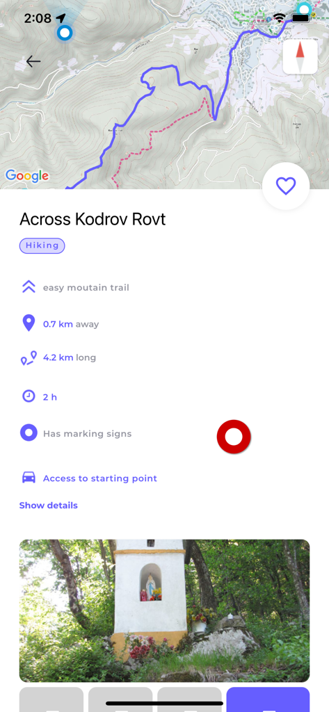
Monolit2Go app screen showing hiking trail details with a topographic map and route information for Across Kodrov Rovt
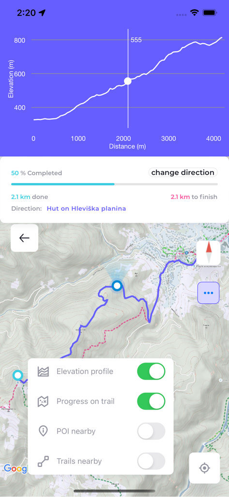
Monolit2Go app displaying elevation profile and topographic map for hiking in Slovenia
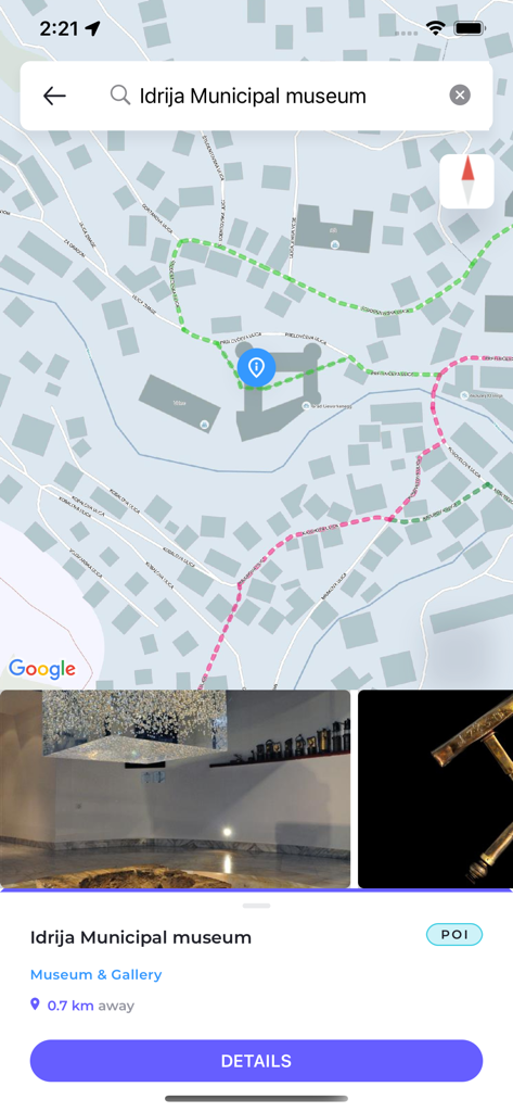
Monolit2Go app displaying the Idrija Municipal museum as a point of interest on a map with trail details.
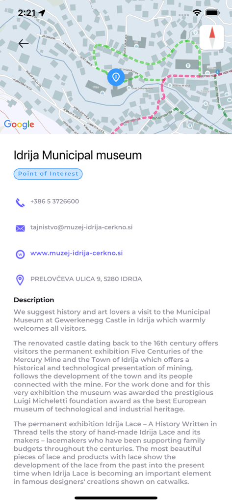
Screenshot of Monolit2Go app showing the Idrija Municipal Museum point of interest with map and description
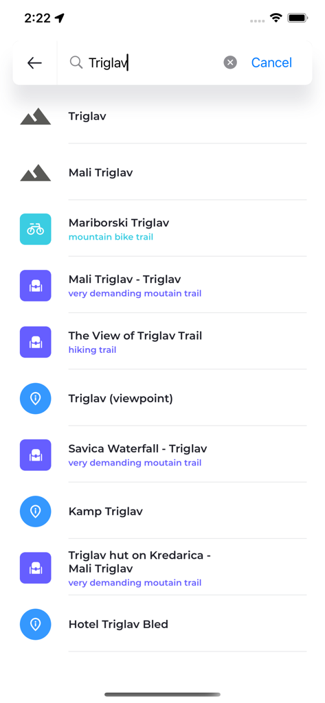
Search results in the Monolit2Go app for Triglav showing hiking and cycling trails
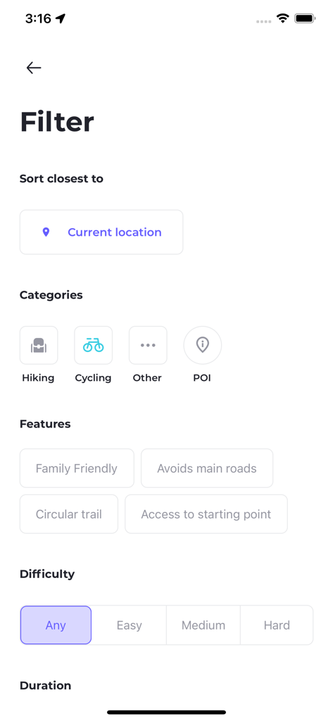
Filter interface of the Monolit2Go app showing trail categories features and difficulty levels for outdoor activities in Slovenia
Description
Download
More Like This
Top-ranked apps in the same category

Strava: Run, Bike, Walk
Strava Inc.

Flo Cycle & Period Tracker
FLO HEALTH UK LIMITED

AI Calorie Tracker by Yazio
YAZIO GmbH

Mi Fitness (Xiaomi Wear Lite)
Beijing Xiaomi Co., Ltd

MyFitnessPal: Calorie Counter
MyFitnessPal, Inc.

Cal AI - Calorie Tracker
Viral Development LLC

Yuka - Food & Cosmetic Scanner
Yuca

HUAWEI Health
Huawei Software Technologies Co., Ltd.

美柚 - 经期·备孕·怀孕·育儿&亲友版
Xiamen Meet You Co., Ltd.
This page is not an official page of the app or its developer, but an independent editorial publication created for informational and commentary purposes. Unless expressly stated otherwise, neither the app nor its developer is affiliated with, endorsed by, sponsored by, authorized by, or otherwise officially connected with MWM, Apple, Google Play, the app publisher, or the app's developer, and nothing on this page implies that the app was developed using MWM's services. Any trademarks, logos, screenshots, and other content remain the property of their respective owners.