This page is not an official page of the app or its developer, but an independent editorial publication created for informational and commentary purposes. Unless expressly stated otherwise, neither the app nor its developer is affiliated with, endorsed by, sponsored by, authorized by, or otherwise officially connected with MWM, Apple, Google Play, the app publisher, or the app's developer, and nothing on this page implies that the app was developed using MWM's services. Any trademarks, logos, screenshots, and other content remain the property of their respective owners.

My Altimeter GPS Altitude Map
Track your precise elevation, coordinates, and barometric pressure anywhere in the world—no cell service required. Designed for peak baggers and outdoor professionals, our app lets you master the wilderness with real-time data and GPS-stamped photos to document every achievement.
Downloads
4K+User Rating
Total Ratings
0Publisher
Category
NavigationLocales
1Latest Version
1.0.3Size
61.3 MBFirst Released
Dec 22, 2024Precision Metrics for Your Next Adventure
Empower your journey with real-time altitude, pressure, and location data that works seamlessly without an internet connection.
Reliable Offline Tracking
Access precise elevation and GPS coordinates anywhere on Earth using built-in device sensors—perfect for remote trails where cell service is unavailable.
Geotagged Summit Proof
Instantly stamp your photos with live altitude, latitude, and longitude. Document your achievements and share your exact location with high-resolution data overlays.
The following screenshots and description are sourced directly from the app's official store listing and are the property of the app developer.
App Store
Screenshots
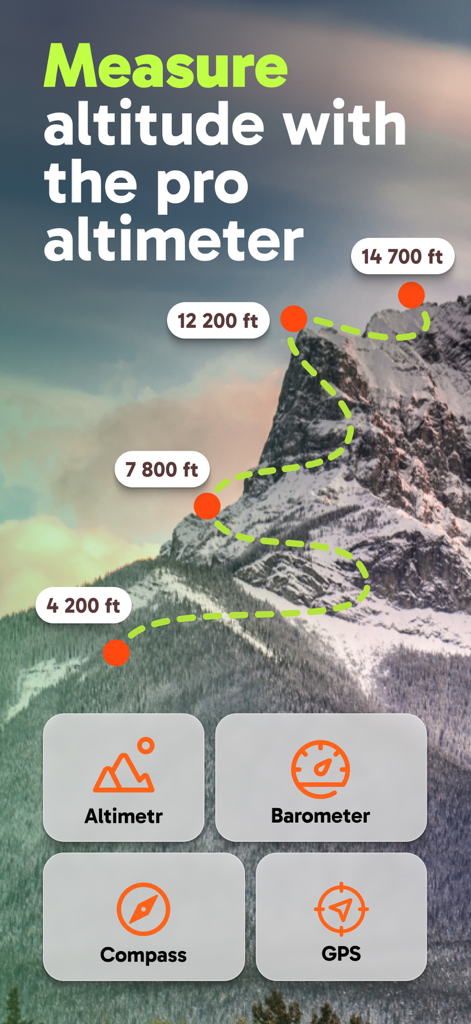
My Altimeter app interface showing mountain altitude measurements and navigation tools
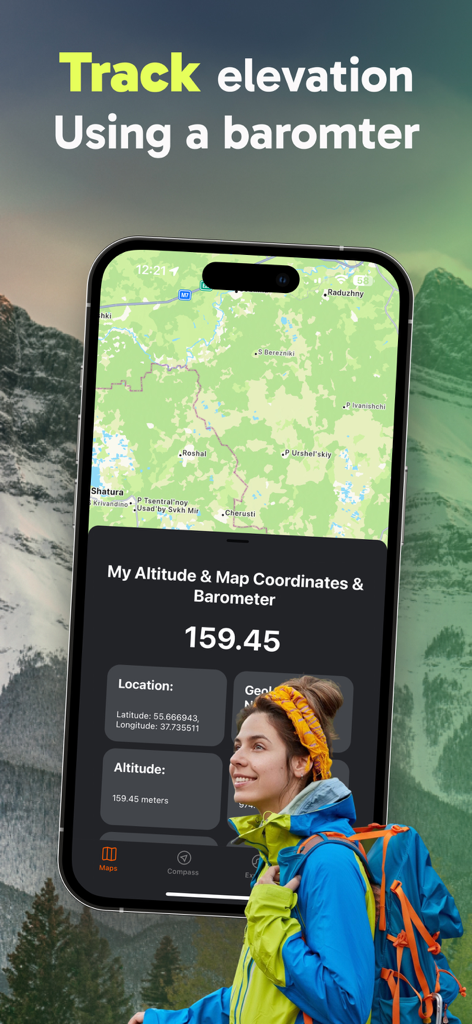
A hiker using the My Altimeter app to track elevation and GPS coordinates in the mountains
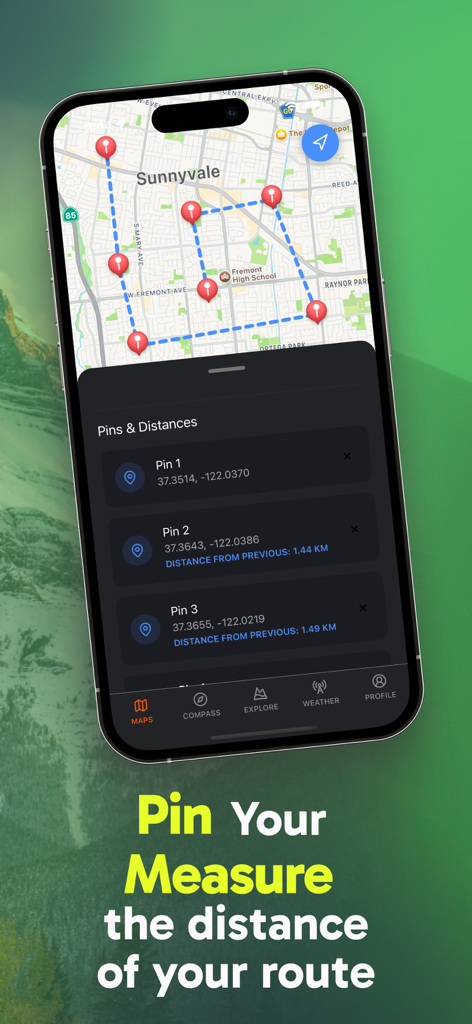
GPS map interface showing pins and calculated route distances in the My Altimeter app
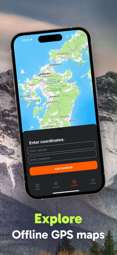
Smartphone displaying an offline GPS map with a menu to input latitude and longitude coordinates.
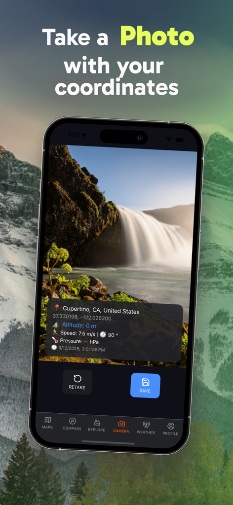
iPhone screen showing a waterfall photo with an overlay of GPS coordinates altitude and atmospheric pressure
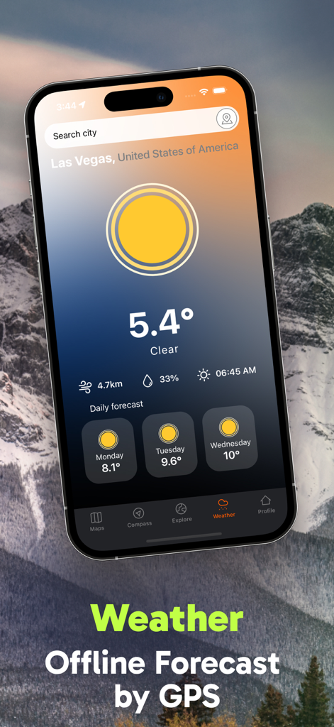
A smartphone display showing the offline weather forecast interface of the My Altimeter app with current temperature and a three-day outlook.
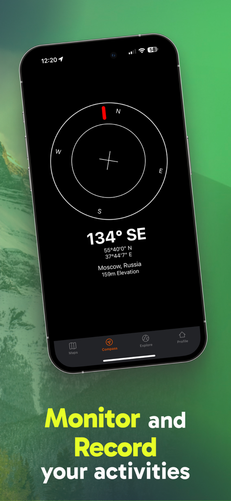
Smartphone screen showing a digital compass with GPS coordinates and elevation data
Description
Download
More Like This
Top-ranked apps in the same category

Google Maps
Google LLC

Waze Navigation & Live Traffic
waze

AMap Global
AutoNavi Information Technology Co. Ltd.

百度地图-路线规划,出行必备
Beijing Baidu Netcom Science & Technology Co.,Ltd

Moovit: Bus & Transit Tracker
Moovit App Global LTD

Transit • Subway & Bus Times
9280-0366 Quebec inc.

ParkMobile: Park. Pay. Go.
Parkmobile USA, Inc

腾讯地图-路线规划,导航地铁打车出行
Shenzhen Tencent Computer Systems Company Limited

Île-de-France Mobilités
Ile de France Mobilites
This page is not an official page of the app or its developer, but an independent editorial publication created for informational and commentary purposes. Unless expressly stated otherwise, neither the app nor its developer is affiliated with, endorsed by, sponsored by, authorized by, or otherwise officially connected with MWM, Apple, Google Play, the app publisher, or the app's developer, and nothing on this page implies that the app was developed using MWM's services. Any trademarks, logos, screenshots, and other content remain the property of their respective owners.