This page is not an official page of the app or its developer, but an independent editorial publication created for informational and commentary purposes. Unless expressly stated otherwise, neither the app nor its developer is affiliated with, endorsed by, sponsored by, authorized by, or otherwise officially connected with MWM, Apple, Google Play, the app publisher, or the app's developer, and nothing on this page implies that the app was developed using MWM's services. Any trademarks, logos, screenshots, and other content remain the property of their respective owners.

Old Satellite Map JAPAN
Step back into the 1970s and see Japan as it once was. Compare vintage satellite imagery with the present day to rediscover your roots, explore historical changes, and bridge the gap between past and present.
Downloads
177K+User Rating
Total Ratings
800Publisher
Category
NavigationLocales
2Latest Version
4.5.1Size
36.6 MBFirst Released
Nov 22, 2016Rediscover Japan Through Time
Bridge the gap between memory and reality. Explore Japan's dramatic evolution by comparing 1970s satellite imagery with modern-day landscapes.
Interactive Time Travel
Seamlessly toggle between the 1970s and today to witness how cities, coastlines, and forests have transformed over the decades.
Trace Your Heritage
Locate ancestral family homes and historic landmarks that may have been altered by Japan's rapid modern urban development.
The following screenshots and description are sourced directly from the app's official store listing and are the property of the app developer.
App Store
Screenshots
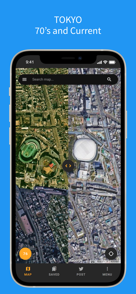
Split-screen view comparing Tokyo satellite maps from the 1970s and present day.
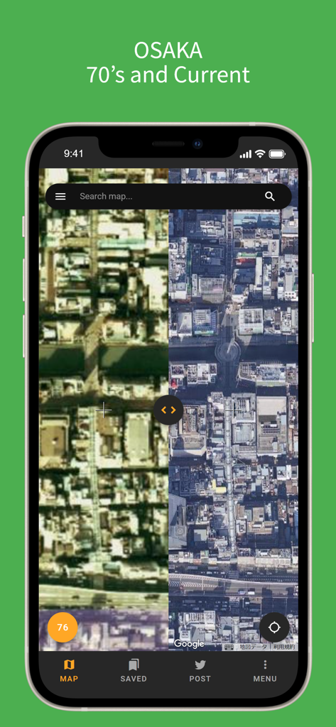
Split screen view comparing 1970s and current satellite imagery of Osaka Japan
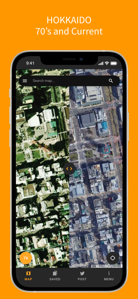
Split screen satellite map comparison of Hokkaido Japan between the 1970s and current day on a smartphone
Description
Download
More Like This
Top-ranked apps in the same category

Google Maps
Google LLC

Waze Navigation & Live Traffic
waze

AMap Global
AutoNavi Information Technology Co. Ltd.

百度地图-路线规划,出行必备
Beijing Baidu Netcom Science & Technology Co.,Ltd

Moovit: Bus & Transit Tracker
Moovit App Global LTD

Transit • Subway & Bus Times
9280-0366 Quebec inc.

ParkMobile: Park. Pay. Go.
Parkmobile USA, Inc

腾讯地图-路线规划,导航地铁打车出行
Shenzhen Tencent Computer Systems Company Limited

Île-de-France Mobilités
Ile de France Mobilites
This page is not an official page of the app or its developer, but an independent editorial publication created for informational and commentary purposes. Unless expressly stated otherwise, neither the app nor its developer is affiliated with, endorsed by, sponsored by, authorized by, or otherwise officially connected with MWM, Apple, Google Play, the app publisher, or the app's developer, and nothing on this page implies that the app was developed using MWM's services. Any trademarks, logos, screenshots, and other content remain the property of their respective owners.