This page is not an official page of the app or its developer, but an independent editorial publication created for informational and commentary purposes. Unless expressly stated otherwise, neither the app nor its developer is affiliated with, endorsed by, sponsored by, authorized by, or otherwise officially connected with MWM, Apple, Google Play, the app publisher, or the app's developer, and nothing on this page implies that the app was developed using MWM's services. Any trademarks, logos, screenshots, and other content remain the property of their respective owners.

Public transport map Vienna
Master every metro, tram, and bus route with ease. Plan your trips, find nearby stations, and explore Vienna confidently—even when you're offline.
Downloads
64K+User Rating
Total Ratings
0Publisher
Category
NavigationLocales
1Latest Version
4.3.6Size
85.2 MBFirst Released
Apr 28, 2019Navigate Vienna with Local Confidence
The complete guide to Vienna’s metro, trams, and buses in your pocket. Designed for explorers who want efficiency without the data drain.
100% Offline Capability
Navigate the entire city without a SIM card or Wi-Fi. Save on expensive roaming fees while keeping the full transit network at your fingertips.
Precision Geo-Positioning
Never get lost in a new city. Instantly see your live location on the map and find the closest stops for seamless transfers between lines.
The following screenshots and description are sourced directly from the app's official store listing and are the property of the app developer.
App Store
Screenshots
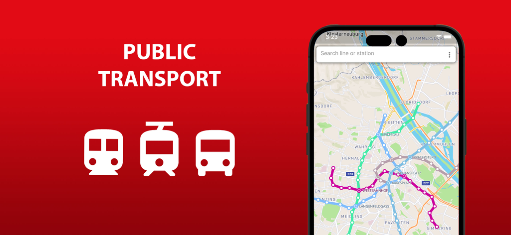
Map of Vienna public transport routes on a mobile phone screen
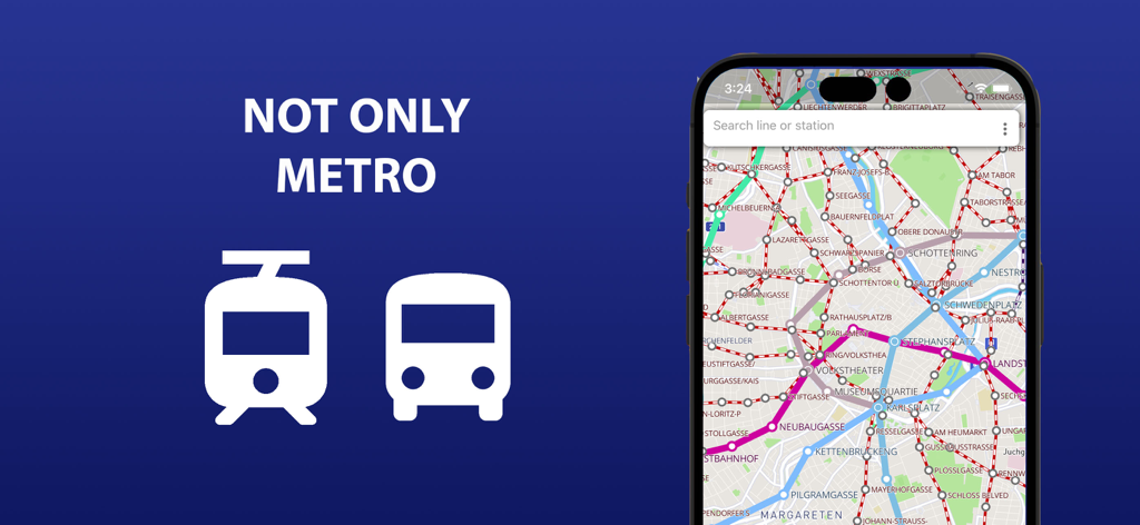
Vienna public transport map app screen showing metro tram and bus lines
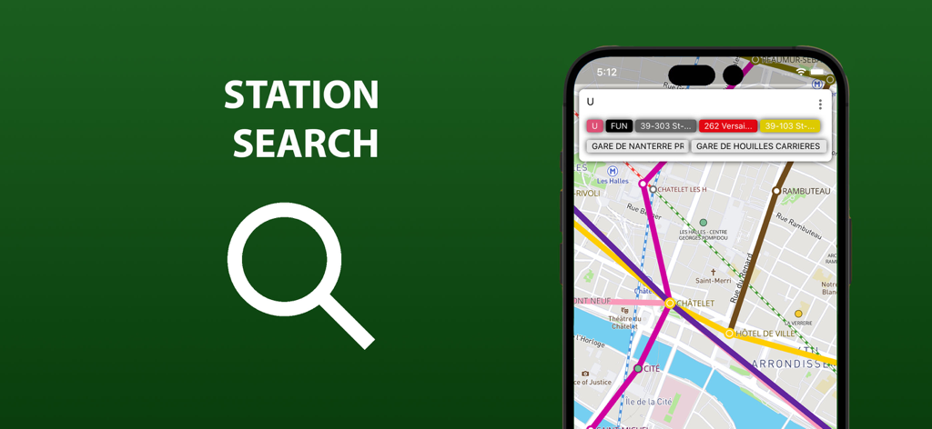
Station search feature on the Vienna public transport map app
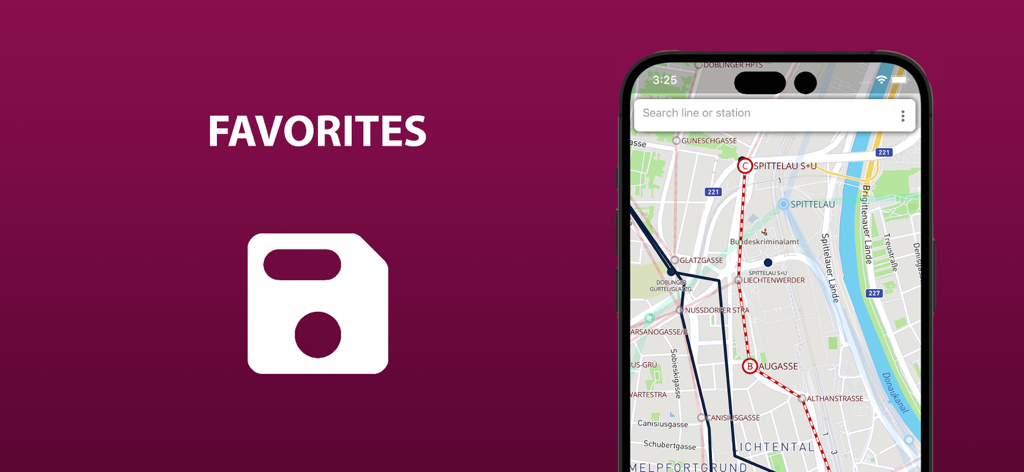
Public transport map of Vienna showing saved favorite routes on a smartphone screen
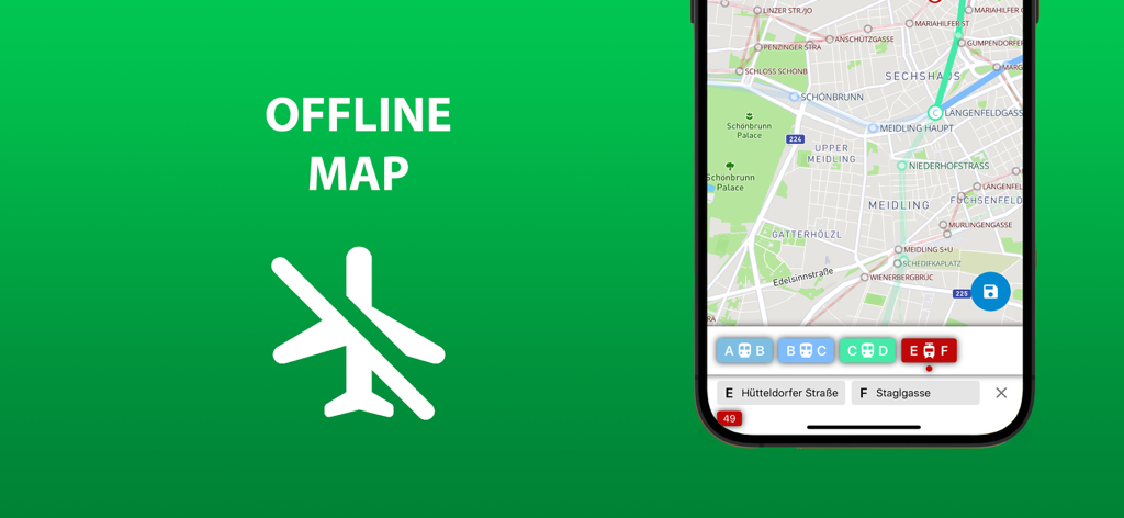
Screenshot of the Vienna public transport app showing its offline map feature with metro and tram routes on a green background.
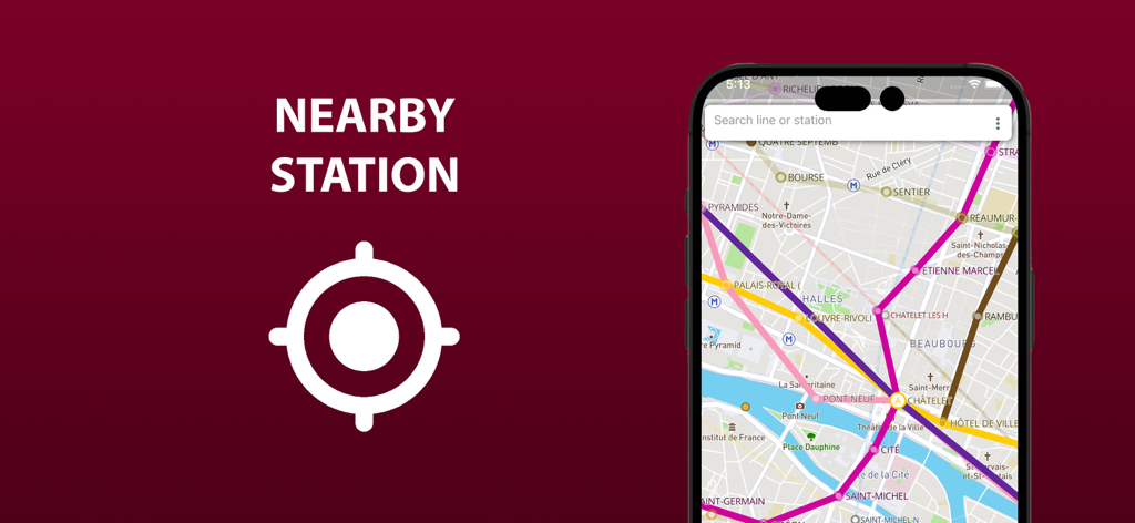
Mobile app interface showing a transit map with a nearby station location feature
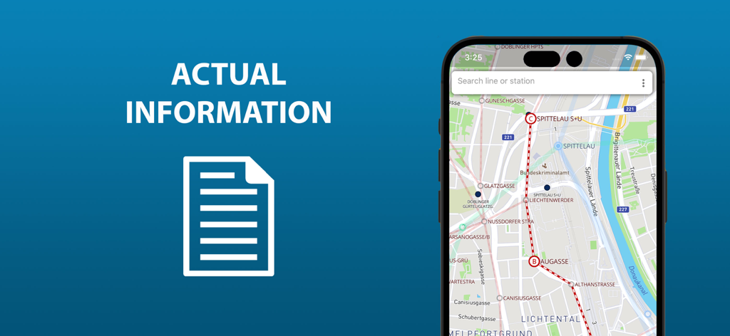
Smartphone screen displaying the Vienna public transport map with a highlighted route and search bar
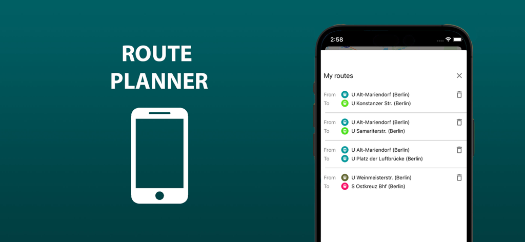
A mobile phone screen displaying the My routes list in the Vienna public transport app
Description
Download
More Like This
Top-ranked apps in the same category

Google Maps
Google LLC

Waze Navigation & Live Traffic
waze

AMap Global
AutoNavi Information Technology Co. Ltd.

百度地图-路线规划,出行必备
Beijing Baidu Netcom Science & Technology Co.,Ltd

Moovit: Bus & Transit Tracker
Moovit App Global LTD

Transit • Subway & Bus Times
9280-0366 Quebec inc.

ParkMobile: Park. Pay. Go.
Parkmobile USA, Inc

腾讯地图-路线规划,导航地铁打车出行
Shenzhen Tencent Computer Systems Company Limited

Île-de-France Mobilités
Ile de France Mobilites
This page is not an official page of the app or its developer, but an independent editorial publication created for informational and commentary purposes. Unless expressly stated otherwise, neither the app nor its developer is affiliated with, endorsed by, sponsored by, authorized by, or otherwise officially connected with MWM, Apple, Google Play, the app publisher, or the app's developer, and nothing on this page implies that the app was developed using MWM's services. Any trademarks, logos, screenshots, and other content remain the property of their respective owners.