このページはアプリまたはその開発者の公式ページではなく、情報提供および論評を目的として作成された独立した編集出版物です。明示的に別段の記載がない限り、アプリおよびその開発者は、MWM、Apple、Google Play、アプリのパブリッシャー、またはアプリの開発者と提携、承認、後援、認可、またはその他の公式的な関係はなく、このページのいかなる内容も、アプリがMWMのサービスを使用して開発されたことを意味するものではありません。すべての商標、ロゴ、スクリーンショット、その他のコンテンツはそれぞれの所有者の財産です。

US NOAA Radars 3D Pro
没入型3Dで高精度なNOAAレーダーを体験。iPhone、Apple Watch、Apple TV間でのシームレスな統合とリアルタイムデータで、激しい嵐を追跡します。
ダウンロード
42K+ユーザー評価
評価数
0開発元
カテゴリ
Weather対応言語
1最新バージョン
23.30サイズ
18.4 MBリリース日
2016年1月21日3Dの精度で空をマスターする
Appleのエコシステム全体に統合されたプロ仕様のNOAAレーダーデータを体験してください。3D都市フライオーバーからリアルタイム衛星画像まで、準備を整えるために必要な気象インテリジェンスを入手できます。
没入型3Dフライオーバー
主要都市の上空で気象パターンを3次元でナビゲートし、これまでにない嵐の深さと動きを可視化します。
プロ仕様のNOAAデータ
調整可能な透明度とリアルタイム更新を備えた高解像度レーダー画像に、国立気象局から直接アクセスします。
以下のスクリーンショットと説明は、アプリの公式ストアリスティングから直接取得されたものであり、アプリ開発者の所有物です。
アプリストア
スクリーンショット
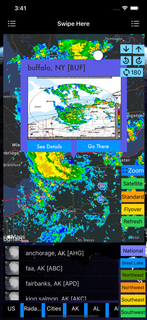
US NOAA Radars 3D Proアプリケーション内のニューヨーク州バッファローの気象レーダーマップ
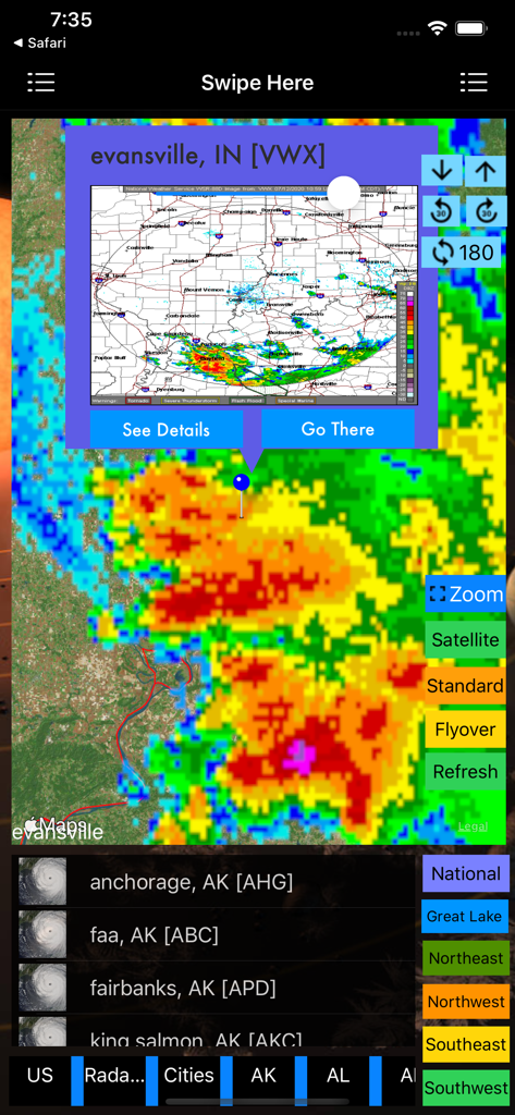
インディアナ州エバンズビル上空の嵐のセルを表示する、US NOAA Radars 3D Proアプリの詳細な気象レーダーマップ
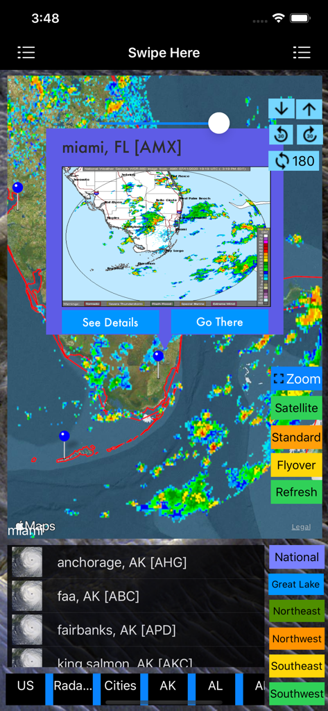
嵐追跡オーバーレイを備えたマイアミの気象レーダーマップを表示するUS NOAA Radars 3D Proアプリ
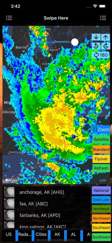
ナビゲーションおよびズームツールを備えた、地図上にカラフルな嵐レーダーオーバーレイを表示するUS NOAA Radars 3D Proアプリのインターフェース
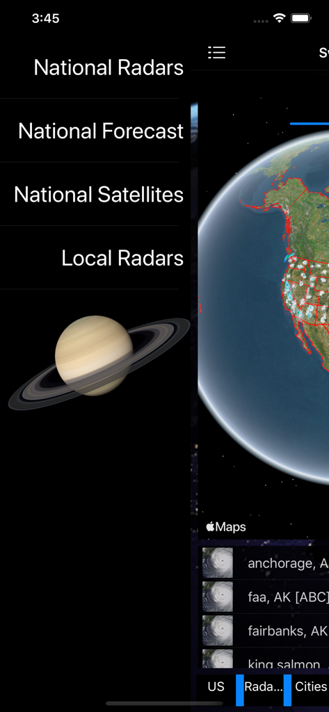
US NOAA Radars 3D Proアプリのメインメニューと3D地球儀の視覚化。
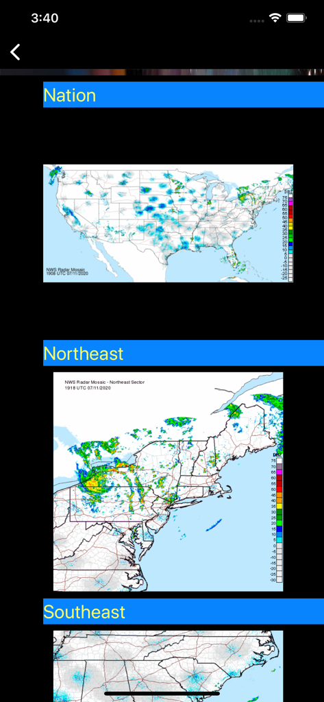
アメリカ合衆国の全国および地域のNOAA気象レーダーマップ。
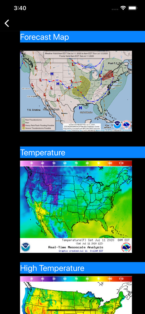
アメリカ合衆国の天気予報と気温レーダーマップ
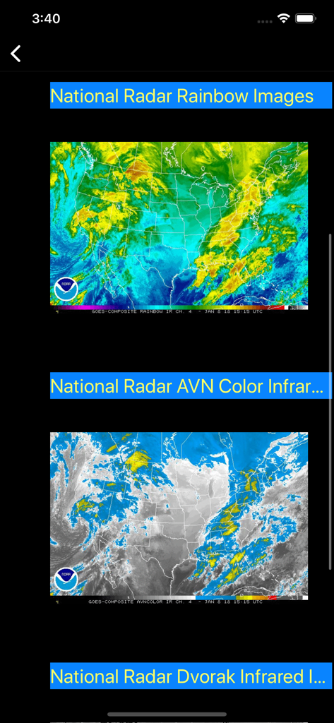
レインボーおよび赤外線ビューの全国NOAA衛星レーダー画像
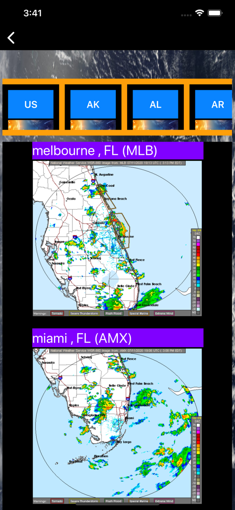
US NOAA Radars 3D Proアプリインターフェース内のフロリダ州メルボルンとマイアミの気象レーダーマップ
説明
Download
類似アプリ
似た機能とユーザー体験を持つアプリ

墨迹天气-MojiWeather
Beijing MojiFengyun Technology Co.,Ltd.

Windy.com
Windyty, SE

天气通
Weibo Internet Technology (China) Co.Ltd.

Zoom Earth - Weather Forecast
Neave Interactive Limited

实时天气-40日精准天气实时预报
犇 牛

MyRadar Accurate Weather Radar
Aviation Data Systems, Inc

Ventusky: Weather & Live Radar
Ventusky s.r.o.

FOX Weather: Daily Forecasts
Fox News Network, LLC

2345天气王-天气和空气质量查询小组件
Shanghai 2345 Network Technology Co., Ltd.
このページはアプリまたはその開発者の公式ページではなく、情報提供および論評を目的として作成された独立した編集出版物です。明示的に別段の記載がない限り、アプリおよびその開発者は、MWM、Apple、Google Play、アプリのパブリッシャー、またはアプリの開発者と提携、承認、後援、認可、またはその他の公式的な関係はなく、このページのいかなる内容も、アプリがMWMのサービスを使用して開発されたことを意味するものではありません。すべての商標、ロゴ、スクリーンショット、その他のコンテンツはそれぞれの所有者の財産です。